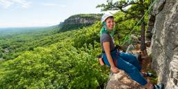
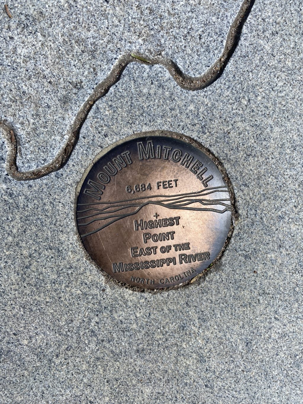
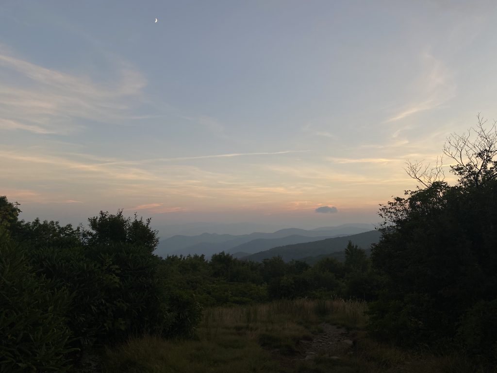
Hiking up North Carolina’s Mount Mitchell—the tallest peak east of the Mississippi—from the Black Mountain Campground, it’s hard not to think about the high peaks of the Northeast. Lining the trail, elevation markers relay progress and beg for comparisons to the mountains back home. After two miles, you’re at 4,300 feet and above Killington Peak in the Green Mountains of Vermont. Two more miles bring you to 5,650 feet, a few hundred feet higher than the summit of Mount Marcy, the tallest peak in the ‘Daks. Shortly after mile five, you pass 6,288 feet, the elevation of Mount Washington, the tallest summit in the Northeast. From here, no other Northeast peak compares.
While lists like the NH48 and ADK46 are pervasive in the hiking culture of the Northeast, it’s easy to forget about other East Coast giants looming to the south. The South Beyond 6000 (SB6K) is your challenge to bag most of the 6,000-foot peaks in the Southern Appalachian Mountains.
South Beyond 6000 (SB6K) Challenge
Mount Mitchell is just one of 40 peaks listed under the South Beyond 6000 (SB6K) challenge. Altogether, the list contains 40 summits above 6,000 feet in the North Carolina and Tennessee area. The Tennessee Eastman Hiking & Canoeing Club and Carolina Mountain Club began work on the challenge in the late ’90s, after studying peak-bagging challenges in the White Mountains (NH48) and Adirondacks (Adirondack 46er).
Although there are over 60 peaks above 6,000 feet in the Southern Appalachian Mountains, the challenge requires either a drop of 200 feet or more to a saddle between one peak and another qualifying peak or a distance of three-quarters of a mile between the two.
The SB6K does include challenge rules and its website recommends acceptable routes for hikers. The first rule is to reach the true summit of each mountain (no small feat, considering some require bushwacking). Routes must also involve hiking at least five miles and ascending a minimum of 500 feet in elevation.
The mountains in the SB6K challenge are commonly broken up into six regions: Black Mountains, Great Balsams, Smokies, Roan Highlands, Craggies, and Plott Balsams.
The Six Regions of the SB6K
Black Mountains
The 10 peaks in the Black Mountain chain are, from south to north:
- Blackstock Knob (6,320’)*
- Mount Gibbes (6,560’)
- Mount Hallback (6,320’)
- Mount Mitchell (6,684’)
- Mount Craig (6,647’)
- Balsam Cone (6,611’)
- Cattail Peak (6,620’)
- Winter Star Mountain (6212’)
- Gibbs Mountain (6,224’)
- Celo Knob (6,327)
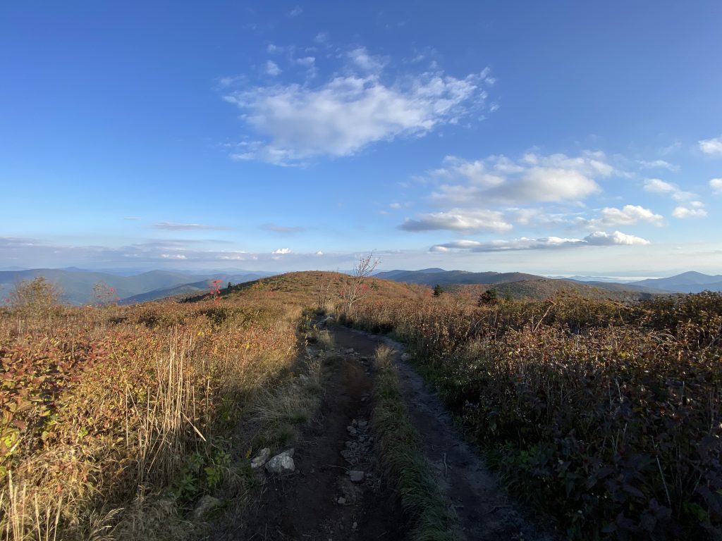
The Black Mountains provide hikers with a variety of options. Smaller, more manageable days include a point-to-point hike of Blackstock Knob to a traverse of Mount Hallback, Mount Gibbes, and Mount Mitchell.
Those looking for a bigger day can consider a rollercoaster rollick over the chain, beginning at Stepps Gap and tagging the summits of Mount Hallback, Mount Mitchell, Mount Craig, Balsam Cone, Cattail Peak, Winter Star Mountain, Gibbs Mountain (not to be confused with Mount Gibbes) and Celo Knob, finishing at Bowlens Creek. Though this hike won’t match the Presidential Traverse or Great Range Traverse, its 13 miles and 2,300 feet of elevation will fill your day with steep East Coast grades and rewarding views.
The Great Balsams
The Great Balsams also include 10 summits:
- Reinhart Knob (6,080’)
- Richland Balsam (6,410’)
- Mount Hardy (6,110’)
- Chestnut Bald (6,040’)
- Sam Knob (6,040’)
- Black Balsam Knob (6,214’)
- Tennent Mountain (6,040’)
- Grassy Cove Top (6,040’)
- Shining Rock (6,040’)
- Cold Mountain (6,030’)
Similar to the Black Mountains, the Great Balsams can be broken up into a handful of hikes depending on distance preferences. Sam Knob and Chestnut Bald make a great seven-mile loop, or up the challenge by adding Mount Hardy and roughly 10 more miles.
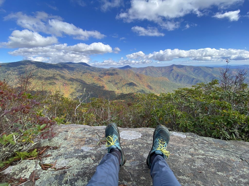
A section of the 30-mile Art Loeb Trail—a National Recreation Trail named after Carolina Mountain Club activist Art Loeb—runs through this area of Pisgah National Forest and the Shining Rock Wilderness. Hikers can follow this trail to connect Black Balsam Knob to Cold Mountain. When starting from the Black Balsam Knob trailhead, this stretch runs over eight miles, gains over 1,990 feet in elevation, and is one of the most scenic hikes in the challenge, thanks to its open ridgeline.
Smokies
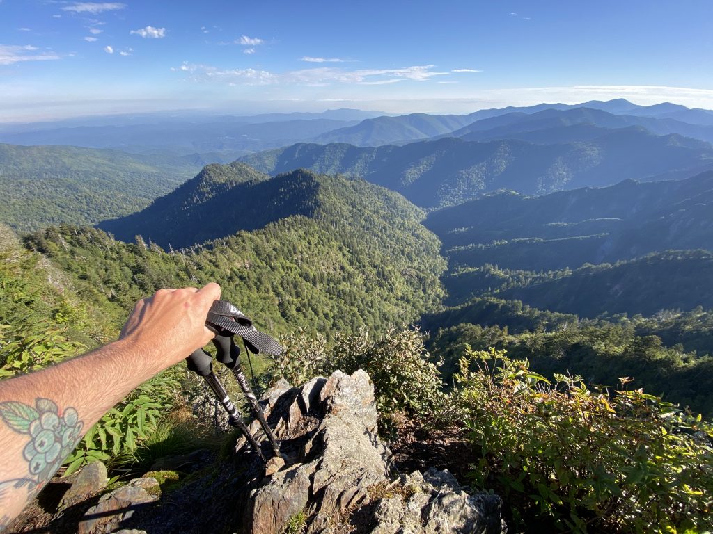
Great Smoky Mountains National Park is home to more SB6K peaks than any other area, with a total of 12:
- Clingman’s Dome (6,643’)
- Mount Collins (6,188’)
- Mount Leconte (6,593’)
- Mount Kephart (6,217’)
- Luftee Knob (6,234’)
- Big Cataloochee (6,155’)
- Mount Yonaguska (6,120’)
- Mount Sequoyah (6,003’)
- Mount Chapman (6,417’)
- Mount Guyot (6,621’)
- Old Black (6,370’)
- Mark’s Knob (6,169’)
One-third of the peaks—Clingman’s Dome, Mount Collins, Mount Leconte, and Mount Kephart—are fairly accessible from trailheads along Newfound Gap Road, a major roadway for tourists and backpackers traveling through the Smokies. During much of the year, this road gets crowded. If you’re looking for solitude, consider starting your trek early to beat the crowds and find yourself a nice viewpoint for sunrise as a reward.
The other summits in the Smokies are less crowded and better for multi-day trips. To bag Luftee Knob and Big Cataloochee, hikers can opt for an out-and-back trip from the Balsam Mountain trailhead, totaling around 16 miles and 2,300 feet of elevation. However, the Laurel Gap shelter sits less than a half mile away from the turnoff for Big Cat and makes a great home for one night, allowing you to make the most of your time in the area.
For those looking for a longer trip, five miles farther down the Balsam Mountain Trail are the first of the remaining peaks found in Great Smoky Mountains National Park. The first peak you’ll run into is Mount Yonaguska, which is just before the Balsam Mountain Trail intersects with the Appalachian Trail. At this junction, you’ll find the Tricorner Knob Shelter, another great home base for overnight trips.
There are other ways to access these peaks, too. One is to park and walk in from the popular Cosby Campground (nine miles to Tricorner Knob Shelter). Another is to leave your car at Newfound Gap and walk the Appalachian Trail for just under 16 miles to arrive at the Tricorner Knob Shelter. On your way, you’ll pass Mount Sequoyah and Mount Chapman. A bit farther down the AT are Mount Guyot and Old Black.
Many of the SB6K summits of the Smokies are bushwhacks, including Mark’s Knob, which makes the possession of navigational skills a must!
Roan Highlands
There are just three summits over 6,000 feet in the Roan Highlands:
- Grassy Ridge (6,160’)
- Roan High Knob (6,285’)
- Roan High Bluff (6,267’)
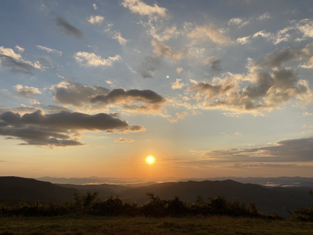
You can summit all three of the Roan Highlands’ 6,000-footers from Carver’s Gap trailhead. I highly suggest incorporating a stay at the Roan High Knob shelter into your trip—it’s the highest shelter on the Appalachian Trail. Plan your trip for June and bask in the blossoming rhododendrons, soak up the views, and take in a scenic sunset or sunrise from the shelter’s position below the summit of Roan High Knob.
Plott Balsams and Craggies
It just so happens that the Blue Ridge Parkway, dubbed “America’s Favorite Drive,” weaves past several SB6K peaks, including:
- Plott Balsams (6,088’)
- Waterrock Knob (6,292’)
- Mount Lyn Lowry (6,240’)
- Yellow Face (6,032’)
It’s possible to bag these four peaks on one eight-mile bushwalk departing from the parking area for Waterrock Knob. You’ll first tick Waterrock Knob, Mount Lyn Lowry, and Plott Balsam, before returning to the parking lot and crossing the Blue Ridge Parkway to tag Yellow Face.
Just one peak above 6,000 feet is located in the Craggy Mountains: Craggy Dome (6080’). A steep hike brings you to the shrubby, often quiet summit of Craggy Dome. While the peak proper is short on views, outstanding perspectives are found at the Greybeard Overlook and Locust Knob while ascending from the Balsam Gap trailhead.
South Beyond 6000 Challenge Accessibility
Many of the mountains of the SB6K Challenge require bushwhacks to reach the summit. Proper navigational skills and compass knowledge are recommended to reach the true summits and return safely to trails or your car. Carrying a GPS is extremely helpful as well if trying to locate exact coordinates for summits. Also, be mindful of clothing and dress appropriately for pushing through vegetation.
Roads such as the Blue Ridge Parkway and Newfound Gap Road are likely to have closures in winter. Furthermore, National Parks have different regulations than forests or wilderness areas, so be mindful of parking passes or shelter reservations if visiting the Smokies. Before you head into the mountains, know the challenges your trip poses, the weather, and what’s going on in the area you plan to visit.
*Elevations as listed on the South Beyond 6000 website.