

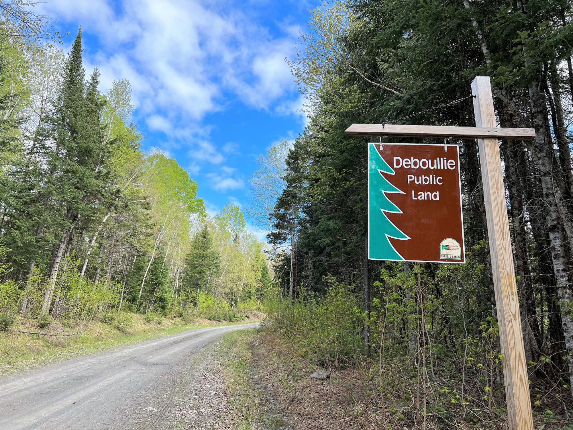
In the heart of northern Aroostook County a dozen miles south of the St. John River and the international boundary with New Brunswick, and a half-dozen miles east of the Allagash Wilderness Waterway is where you’ll find the wild and beautiful Deboullie Public Land. It’s easily one of the most remote properties in the state of Maine’s parks and lands system.
Deboullie occupies the entire unorganized township of T15 R9 WELS, a nearly 22,000-acre expanse that includes 17 pristine ponds, a cluster of low but rugged peaks topped by 1,981-foot Deboullie Mountain, and a lot more moose than people. A 7,253-acre ecological reserve within the Public Land protects 11 ponds and stands of old-growth spruce and mature hardwoods.

Exploring Deboullie By Foot
Until about 15 years ago, there were few formal trails at Deboullie, mostly angler paths and woods roads into the ponds and the old firewarden trail to the tower atop Deboullie Mountain. But the Maine Bureau of Parks and Lands and the Maine Conservation Corps changed all that by constructing a superb 30-mile network of trails that offer a wide range of hiking opportunities.
The name Deboullie is an adaptation of the French word déboulier, which translates to “tumble down,” a reference to the many steep cliffs and talus slopes found throughout the property. Hike to the Deboullie firetower for a grand view that not only takes in a good chunk of this local geology but extends far south over the Aroostook forestlands to Baxter State Park.
The cab on Deboullie’s 48-foot firetower blew off in a storm in 2016, but a brand new one was flown in and installed two years ago, making the big view up top safe and enjoyable once again. Combine neighboring Black Mountain with Deboullie Mountain and the south side of Deboullie Pond for a great introductory loop hike of about nine miles.

For another fun circuit, hike the north side of Deboullie Pond and then the Tower Trail up to Deboullie and back. Continue around the pond to Whitman Valley Trail. Follow this and Whitman Ridge Trail over Whitman Ridge to Pushineer Pond and back to the main hiker parking area near the east end of Deboullie Pond. Nine miles, more or less.
A third loop leaves from the trailhead at Togue Pond. Climb the wooded twin summits of Gardner Mountain and then make your way around Gardner Pond. Finish by way of the Denny Trail and the Crater Trail for another good 9-mile day. Two shelters on Gardner Pond, one at Gardner Point on the southwest shore and the other on the east shore, are great refuel spots.
Backpackers can piece together several different routes for a splendid overnight trek. There are the two shelters on Gardner Pond, of course, plus a tentsite near the pond’s northeast corner as well as one on the west shore of Deboullie Pond. Get creative and use one of the frontcountry campsites along the access road and you could easily make it a 2-nighter.
Exploring by Car
There are a host of drive-in campsites; each includes a picnic table and fire ring, and some feature a shelter. You’ll find sweet sites for pitching a tent or parking a camper rig at Togue Pond, Perch Pond, Denny Pond, Upper Pond, Pushineer Pond and Deboullie Pond. And there are always well maintained pit toilets within reach.
Getting to Deboullie certainly takes some doing. From Bangor it’s about 220 miles to St. Francis via I-95 to Sherman, Maine Route 11 to Fort Kent and then Maine Route 161. At the North Maine Woods St. Francis Checkpoint, you’ll register and pay day use and camping fees (cash or check only) before beginning the 20-mile drive on gravel logging roads to Deboullie Pond. This is big timber country, so drive with caution and yield to all logging traffic en route.
Stock up on last minute supplies and top off your vehicle’s fuel tank in Fort Kent. A Maine Atlas & Gazetteer is a good travel aid to have on the road, and the AMC’s Maine Mountain Guide is an essential companion for the trail. The North Maine Woods gate keepers are ever friendly and helpful with advice and directions; they’ll also provide a booklet with good info and a map.
Before you go, be sure to visit www.parksandlands.com for a brochure and map of Deboullie Public Land. Check out www.northmainewoods.org, too, to familiarize yourself with North Maine Woods.
Related Posts


