

The Northern Forest Canoe Trail, or NFCT, travels over 700-miles from upstate New York to the Canadian Border in Maine. It follows lakes, streams, ponds, and rivers to connect historic old trading routes. Paddlers who travel its waters experience solitude, joy, and challenges. But thanks to its length, few people paddle it in one go, end to end. Most will opt to paddle in smaller pieces in days or weeks, but even this isn’t easy: There are a number of spectacular sections of this trail, but not all are accessible to paddle in shorter chunks. Thankfully, some of the best pieces of the NFCT are do-able in a short trip, and are begging to be paddled.
1. Fulton Chain of Lakes
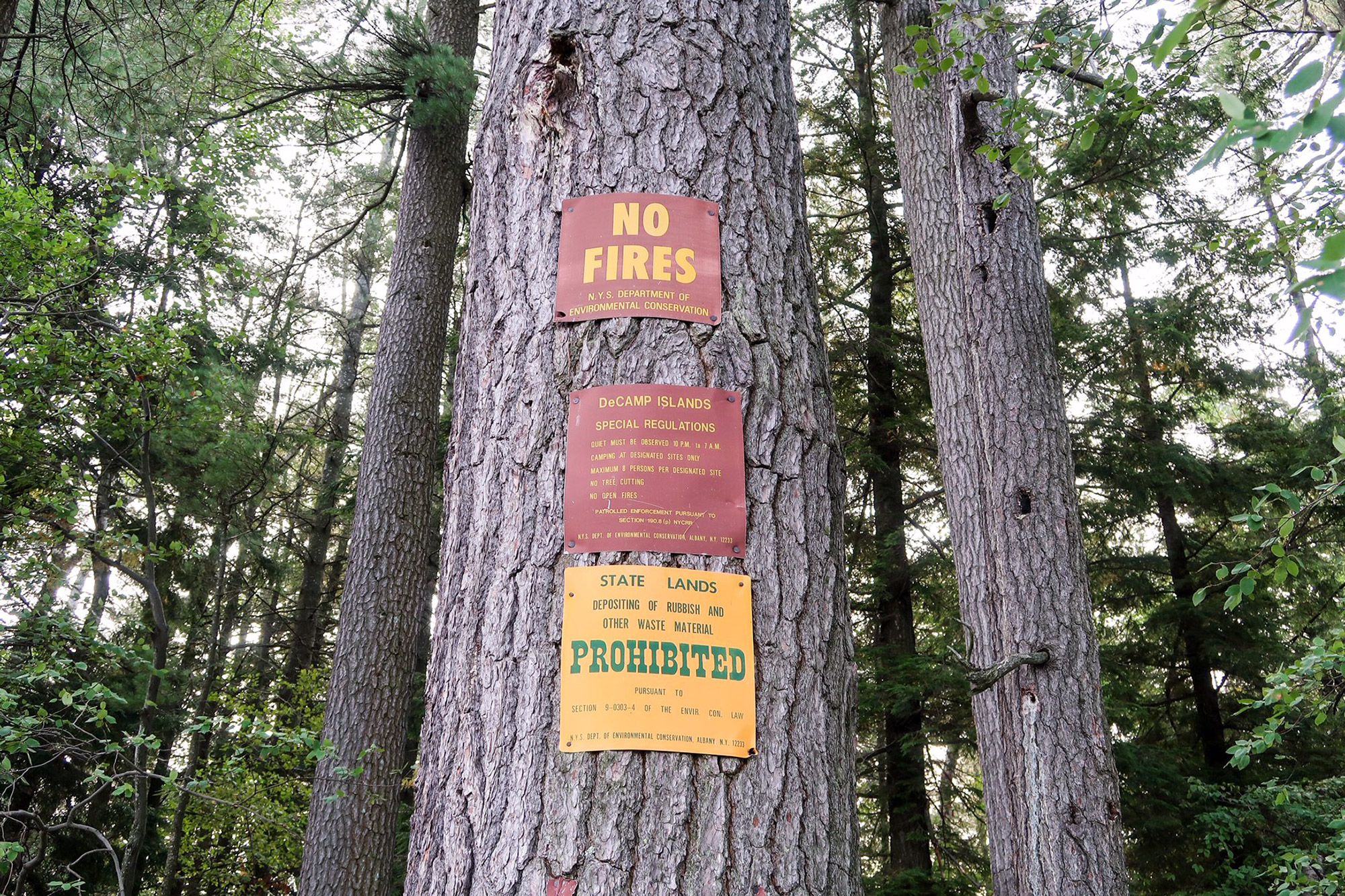
Beginning at the Western Terminus of the NFCT, the Chain of Lakes connects eight flatwater lakes and ponds through the Adirondacks. This section requires some straightforward portaging through dense woods and is home to some of the most well-managed and pristine campsites around. There’s a reason thru-paddlers are captivated by this trail from the start.
Where: Old Forge, NY to Raquette Lake, NY
Distance: 20 miles (1-3 days)
Portages: Three; You’ll want a set of wheels for this section. The Fifth Lake (.4 miles) and Eighth Lake Campground (1 mile) portages are a short distance and wheelable, however the Brown Tract Carry from the north end of Eighth Lake follows a rougher trail that might require moving by hand for short distances.
When To Go: Late summer to fall. The bugs can be vicious and the lakes get crowded with visitors during early summer, meaning there could be lots of boats and jet skis.
Camping: Plentiful. Primitive lean-to’s at Seventh and Eighth Lakes between miles 13 and 17. State Campgrounds located on Alger Island (mile 5.5), Eighth Lake (mile 16), and Brown Tract Pond (mile 20) by reservation for a fee.
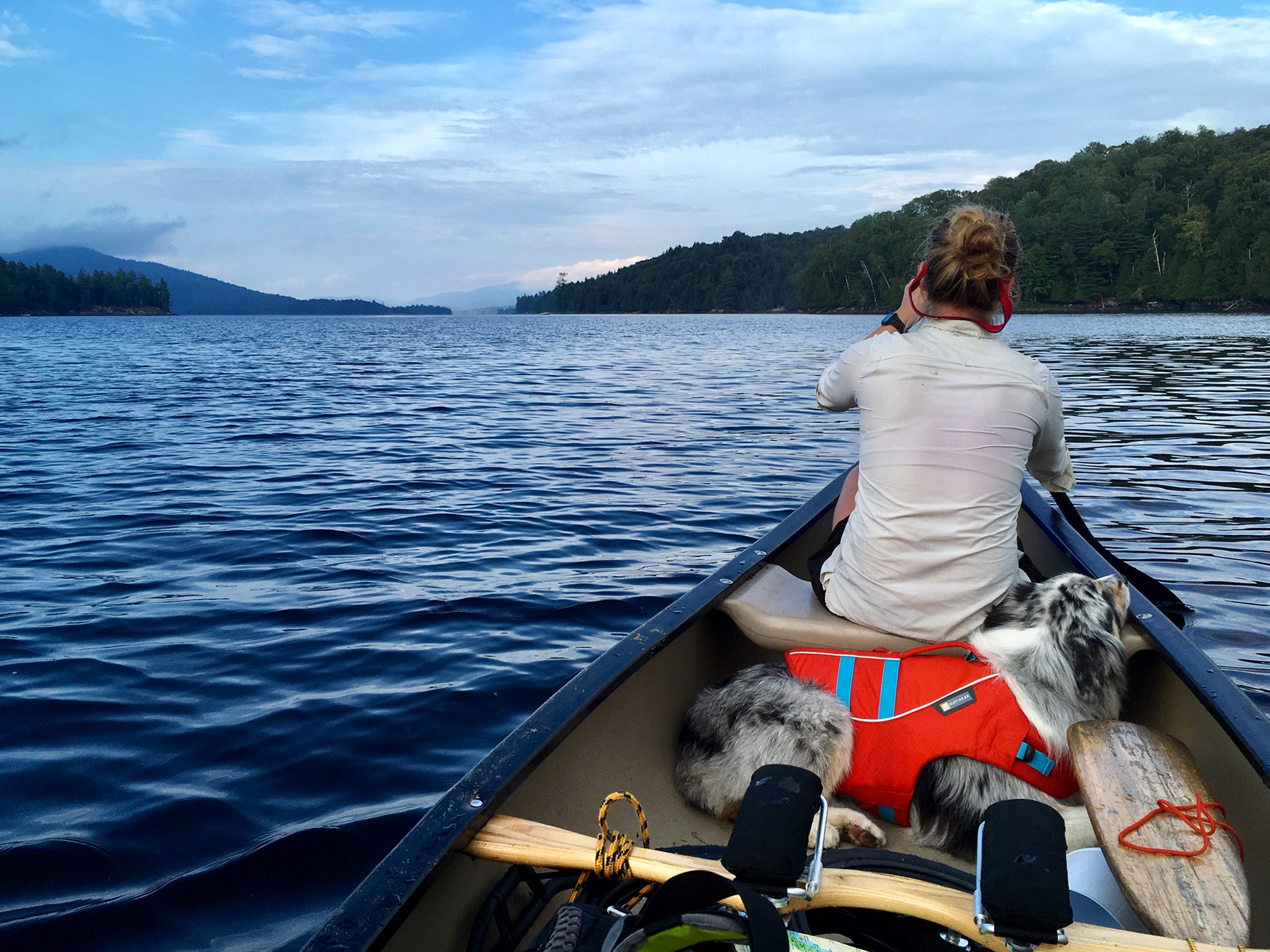
2. Long Lake & The Saranac Lakes
In the heart of the Adirondacks lies one of the most pristine sections of the NFCT. The trail travels 9 miles across Long Lake to the winding and gentle Raquette River before entering the Saranac Lakes. This stretch is fairly wild and remote, with quaint waterside towns, and excellent swimming and camping. Depending on the wind, this can be a quick paddle.
Where: Long Lake, NY to Saranac Lake, NY
Distance: 42 miles (3-6 days)
Portages: Three or four. The first of them, the 1.3-mile Raquette Falls Carry isn’t easy. Most of the trail has too many roots and rocks to navigate, making wheeling unlikely. After allocating some time to this portage, paddlers are rewarded with views when they put-in below the falls. During high water in the spring, the bridges along the brief Stony Creek stretch will force paddlers to briefly portage around. Half of the 1.1-mile Indian Carry from Stony Pond is challenging to wheel and finally the Bartlett Carry is quick and wheelable on a road.
When To Go: Spring through fall. This area can be buggy so it might be best to wait until after all the snow has melted in the High Peaks for a more enjoyable experience.
Camping: Plentiful and spread out, but require some planning for the Saranac Lakes area. Many beautiful lean-tos placed along the shores of the 10-mile Long Lake and the Raquette River. There are several primitive campsites along the north shore of Stony Creek Pond and one at Huckleberry Bay on Upper Saranac Lake. On Middle and Lower Saranac Lakes, the sites are state-managed and require a reservation and fee. You can stop in at the State Bridge boat launch and if sites are available, and can register the same day. Once you re-enter the Saranac River, there’s a lean-to near Lower Lock.
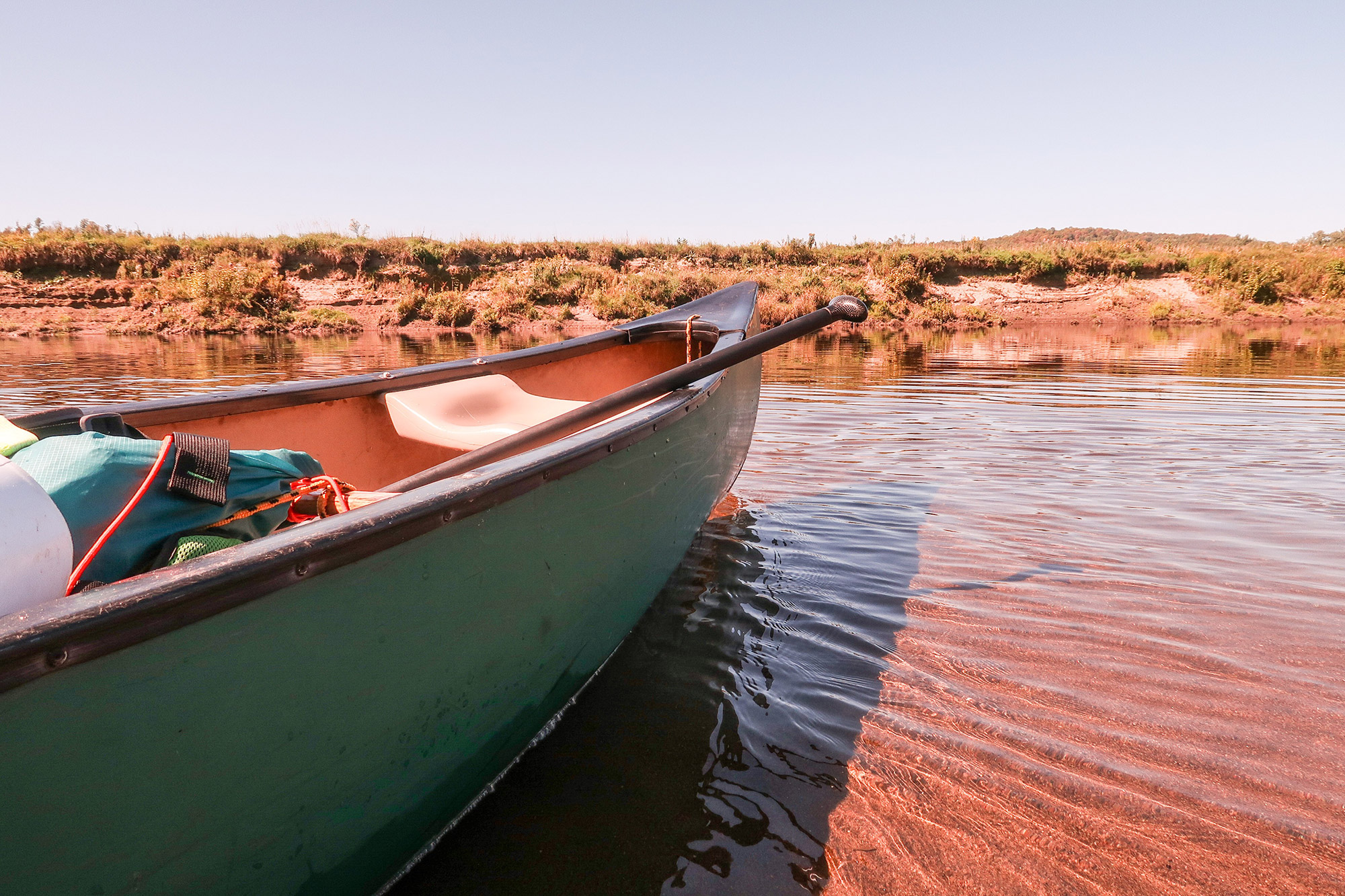
3. The Connecticut River
Sandy beaches along the winding Connecticut River offer a fun, leisurely trip for both new and experienced paddlers. It can be paddled in one long day or split into two. Through bright agricultural valleys and old trestles, New England’s longest river gives a peek into logging and railroad history. The river meanders south, with the occasional rips and osprey nests. As you approach Groveton, the NFCT turns left up the Ammonoosuc River, where you’ll have to travel 1.5 miles upstream before reaching the Normandeau campsite (the alternative is to take out at Guildhall).
Where: Bloomfield, VT to Groveton, NH
Distance: 22 miles (1-2 days)
Portages: None
When To Go: Late summer to fall. Water levels on the Connecticut are not a concern, so it can be paddled anytime between spring and late fall, but the camping areas along this section can be buggy May through July.
Camping: The Maine Central RR Trestle Campsite (7 miles in) and Samuel Benton Campsite (13 miles in) are primitive NFCT camping areas along the river. Both are located on private property where the landowners permit paddlers to stay assuming they pack out all trash and otherwise leave no trace. Remember to treat water from the river before drinking.
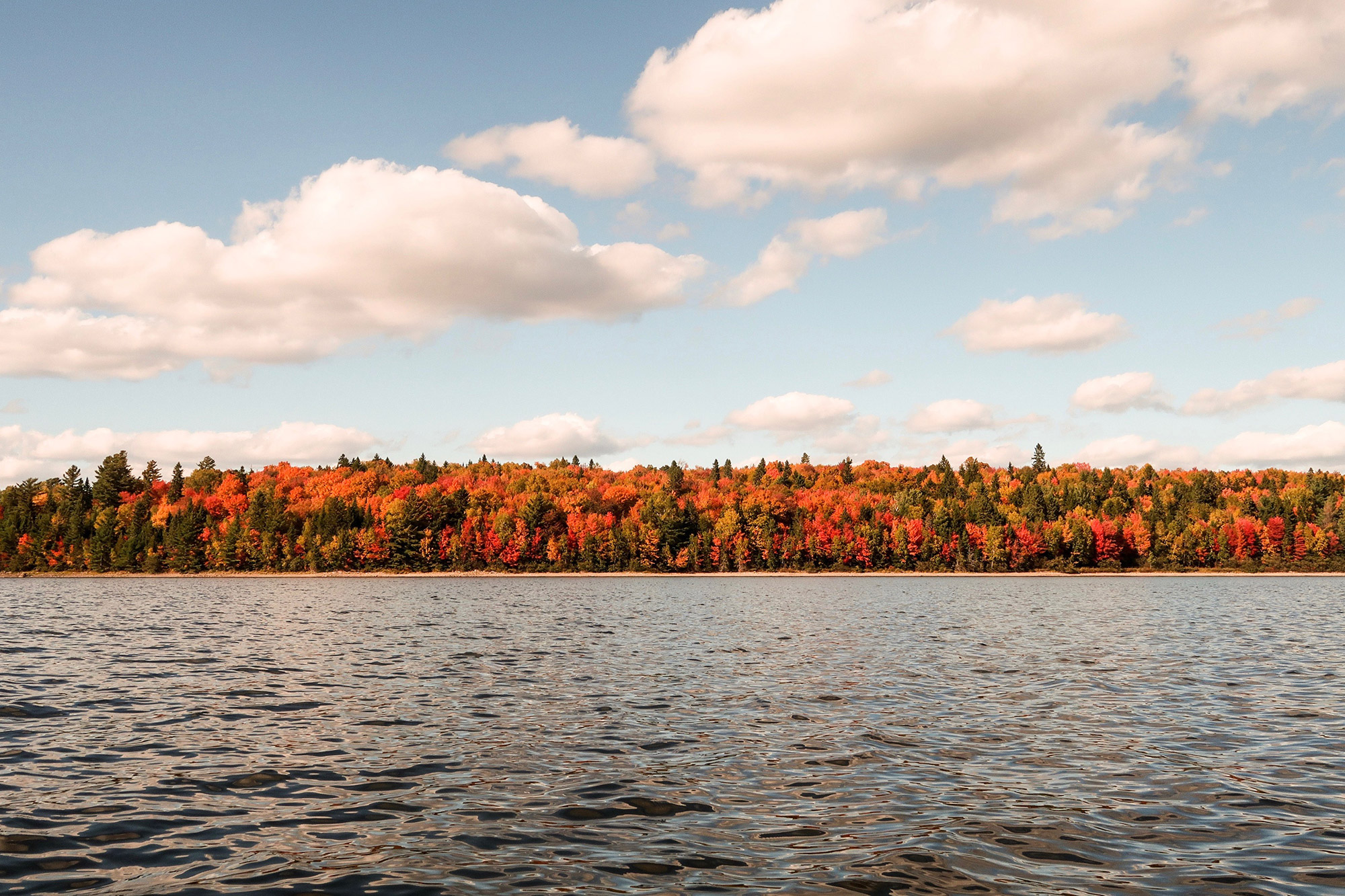
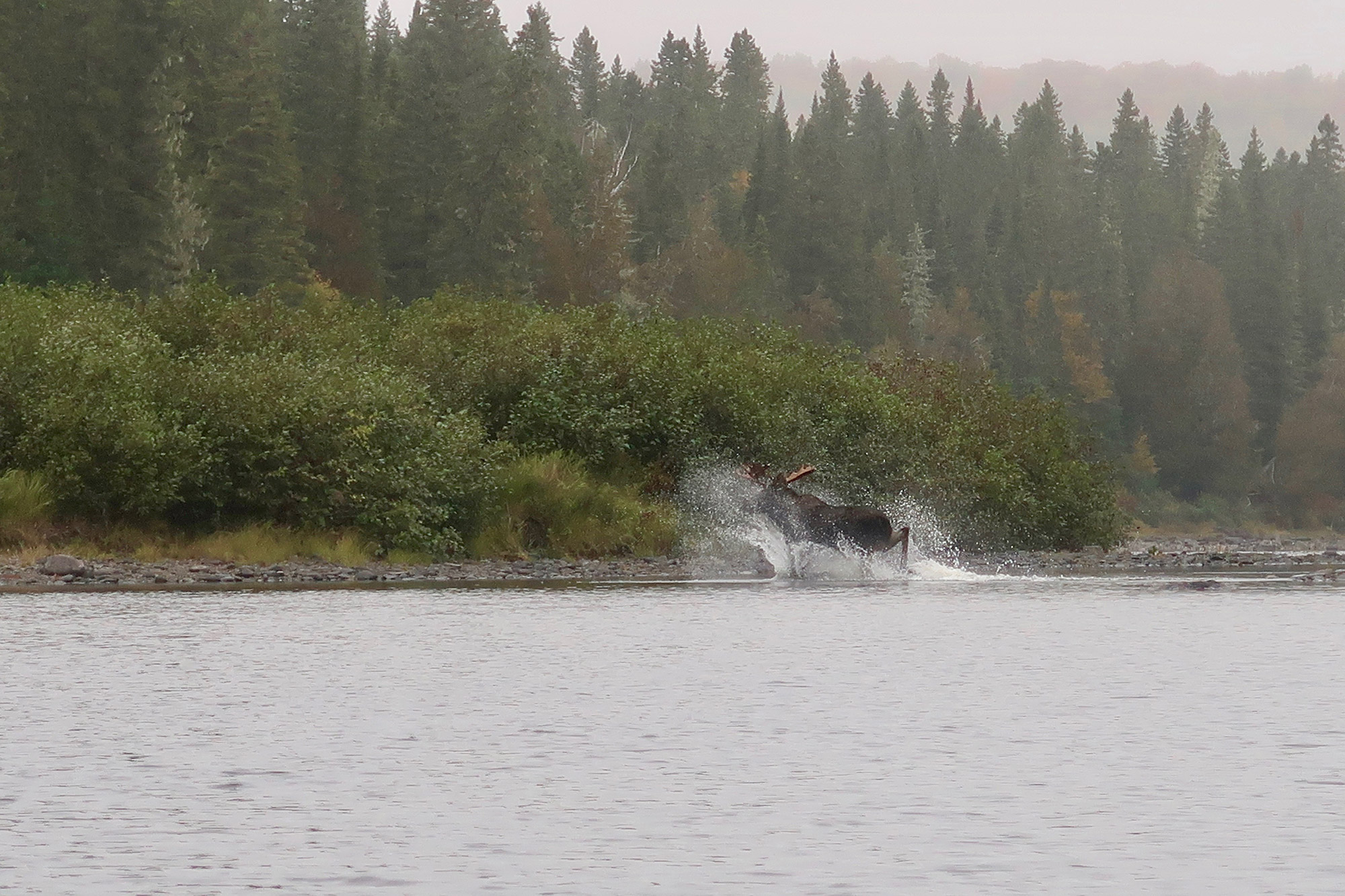
4. The Maine Lakes
This is perhaps the most ambitious trip on this list, but not without great reward. It is mostly flatwater paddling across some of the most pristine immaculate lakes in Maine: Umbagog, Lower and Upper Richardson, Mooselookmeguntic and Rangeley. Paddling times can vary depending on the weather and wind, but the abundance of wild camping provides plenty of places to rest and relax. Most of these lakes are home to more wildlife, namely the Bald Eagle, and few people.
Where: Errol, NH to Rangeley, ME
Distance: 44 miles (3-6 days)
Portages: Three. You will want wheels for this section. The first portage, around Errol Dam, can easily be avoided by coordinating a shuttle. The largest portage of this stretch is the Rapid River Carry, which travels 3.2 miles along an unwheelable trail and then an old road. The Upper Dam portage to Mooselookmegntic (0.1 mile) and Carry Road to Oquossoc (1.5 miles) are easy and wheelable along roads. Other portages may be required if water levels are too low.
When To Go: Summer and fall. Despite being quite remote, these lakes are popular destinations for travelers during mid-summer. Aim for August or September for ideal conditions.
Camping: Plentiful, but requires planning during peak season. Most of the remote campsites along this stretch are State or privately managed and require a small fee. The remote, water-accessed-only sites on Umbagog Lake, Rapid River, Lower and Upper Richardson Lake, and Mooselookmeguntic Lake are State- or privately-managed and require a reservation and small fee. In late season, it’s possible to pay for empty sites retroactively. On Rangeley Lake, The Rangeley Lake State Park is busy with RVs and car campers; it’s less-than-ideal for paddlers.
5. The Allagash
Paddling the Allagash River in Northern Maine presents iconic backwoods paddling at its best. It’s on just about every Maine Adventurer’s bucket list and for good reason: Its remote and wild setting is the perfect place to unwind and relax. This marks the grand finale of the NFCT where paddlers are rewarded for weeks of hard work with frequent wildlife sightings, fishing, soaking in the river and stunning camping. There are some shorter sections of Class I to II rapids on an otherwise calm and easily traveled river. It’s an entertaining trip for the whole family, kids included!
Where: Chamberlain Lake, ME to Allagash Village, ME
Distance: 86 miles (5-7 days)
Portages: Three, maybe four. It would be helpful to have wheels here. The Tramway carry from Chamberlain to Eagle Lake is short and wheelable, and features some spectacular logging history. The portages around Churchill Dam and Long Lake Dam are very short (.1 mile), except if you want to avoid the whitewater at Churchill, which requires a longer carry. The final portage, around Allagash Falls, travels on a well-worn path through campsites and is fairly straightforward.
When T Go: Spring to early fall. Spring and early summer allow higher, more enjoyable water levels, but campsites can get full. If you’re looking for greater solitude and cooler temperatures, the Allagash makes for a wonderful fall trip as long as the water levels are above 300 to 400 CFS.
Camping: Plenty available for a small fee. The Allagash Wilderness Waterway sites cost $6/night per person for Maine residents and $12/night for non-residents. When you get to Churchill Dam, visit the Ranger Station and pay (cash or check only) for the number of nights you’ll camp along the river. Groups cannot exceed 12 people and children under 10 are free. The campsites include privies, picnic tables, and fire pits.
Related Posts


