

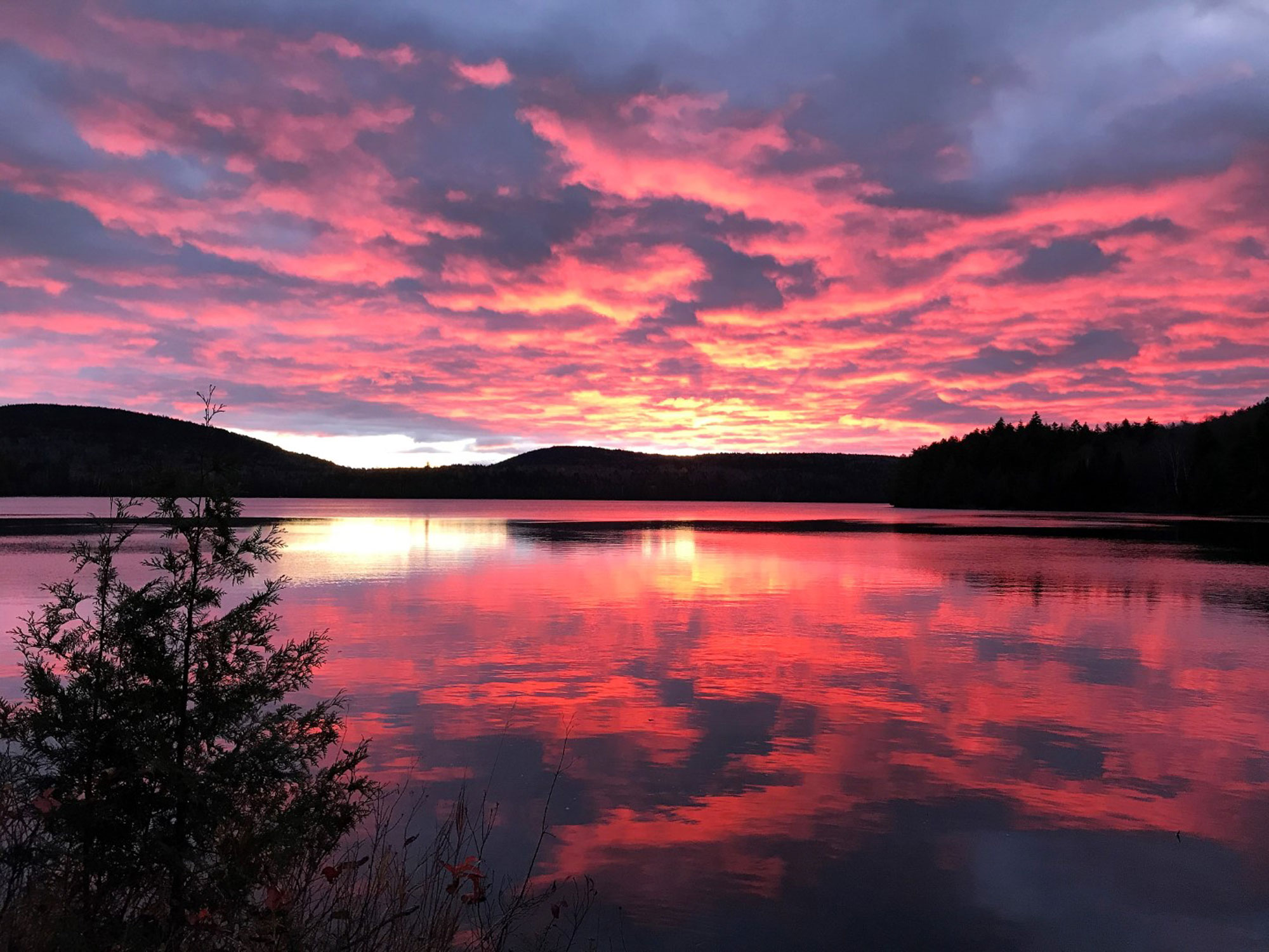
Maine’s 100-Mile Wilderness is a vast 750,000-acre expanse of deep woods, clear waters and green mountains ranging from the village of Monson just south of Moosehead Lake to the West Branch of the Penobscot River on the doorstep of Baxter State Park. In the heart of this remote and rugged country is where you’ll find the state’s newest multi-day backpacking opportunity: The Great Circle Trail.
The Great Circle Trail threads a scenic route through the Nahmakanta Public Lands, linking the existing Turtle Ridge and Debsconeag Backcountry Trails and the Appalachian Trail with a sweet section of new trail. Together, the GCT forms a roughly 30-mile hiking circuit through wonderfully wild, wildlife-rich, dark skies terrain. You’ll gain 3,000 feet of elevation en route.
Jay Hall, the longtime Nahmakanta Unit Forester for the Maine Bureau of Parks and Lands, conceived the idea of a Great Circle Trail to encircle Nahmakanta Lake, the crown jewel of the 43,000-acre conservation property, in 2005. To connect the dots, 14 miles of new trail had to be constructed, and over 12 seasons from 2006 to 2021, a variety of trail crews got the task done.
Ten primitive campsites—each with a picnic table, fire ring and box privy—are scattered along the trail route, so options for tenting abound. There are nine road access points for the GCT, but the most common starting point for the complete loop hike is the Turtle Ridge Trailhead on Jo-Mary Road. Counterclockwise is the recommended direction.
How to Hike The Great Circle Trail
Here’s a suggested itinerary, a leisurely 4 days and 3 nights, that’ll allow you sufficient time to explore side trails, enjoy a refreshing swim and relax in camp:
Day 1: 9 Miles
Begin from the Jo-Mary Road 150 yards north of the Turtle Ridge Trailhead. Hike north on the Tumbledown Dick Trail, passing Leavitt Pond and Tumbledown Dick Pond before reaching the side trail to Tumbledown Dick Falls, which pours 70 feet through a narrow chasm. After joining the Appalachian Trail, follow Nahmakanta Stream, then take a short detour to enjoy the expansive view over Nahmakanta Lake. Ahead, enter the Debsconeag Backcountry and hike along Fifth Debsconeag Pond. Pitch camp soon after on the south shore of Sixth Debsconeag Pond.
Day 2: 8 Miles
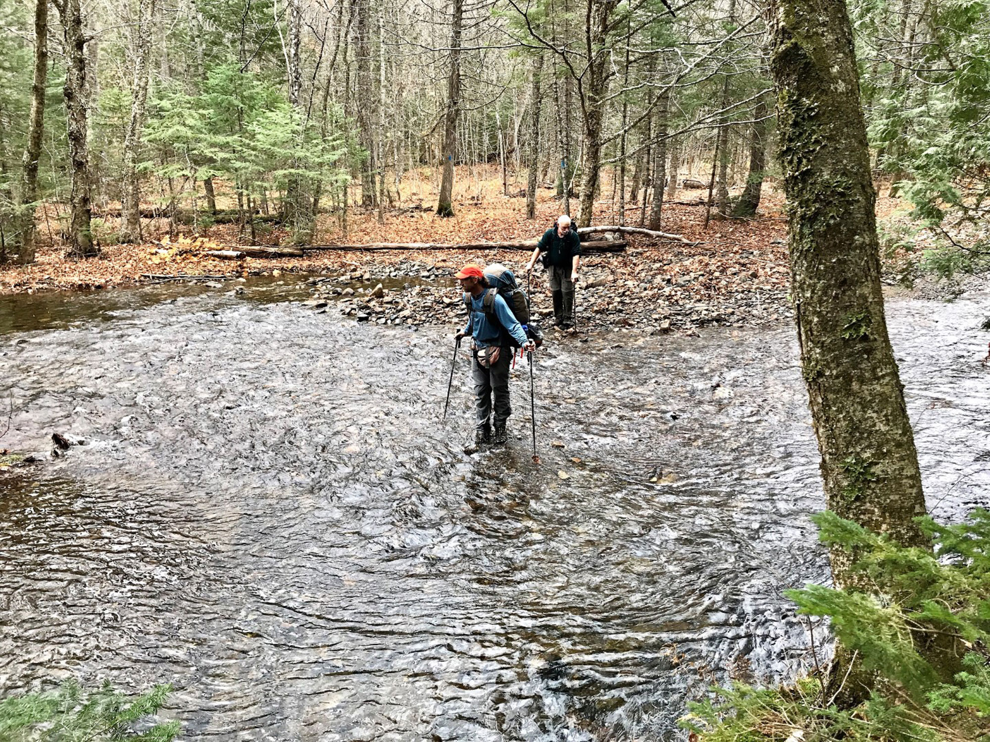
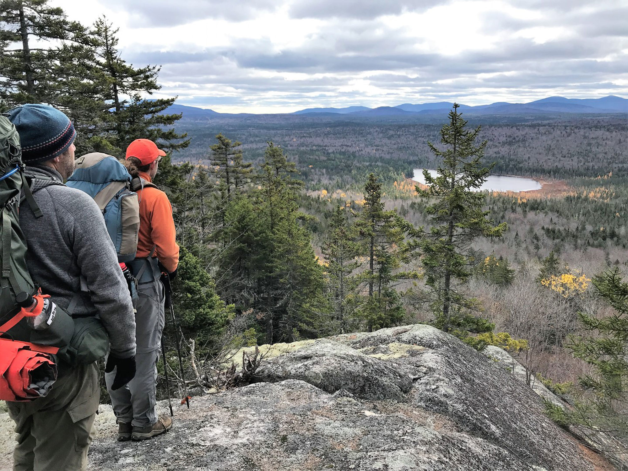
Hike along the eastern edge of Nahmakanta Lake, with views of the angular summit of Nesuntabunt Mountain. Rock hop across Gould Brook, then ford Rainbow Stream to reach a dirt road that leads to the AT and a bridge over Bean Brook. Follow the AT southbound through the gorge of rushing Pollywog Stream, then climb away to meet the Great Circle Trail at the aptly named Crescent Pond. The GCT leads along the east side of Pollywog Pond and continues on to Wadleigh Pond and two shelters that bookend an old stone fireplace and chimney in a pretty meadow.
Day 3: 9 Miles
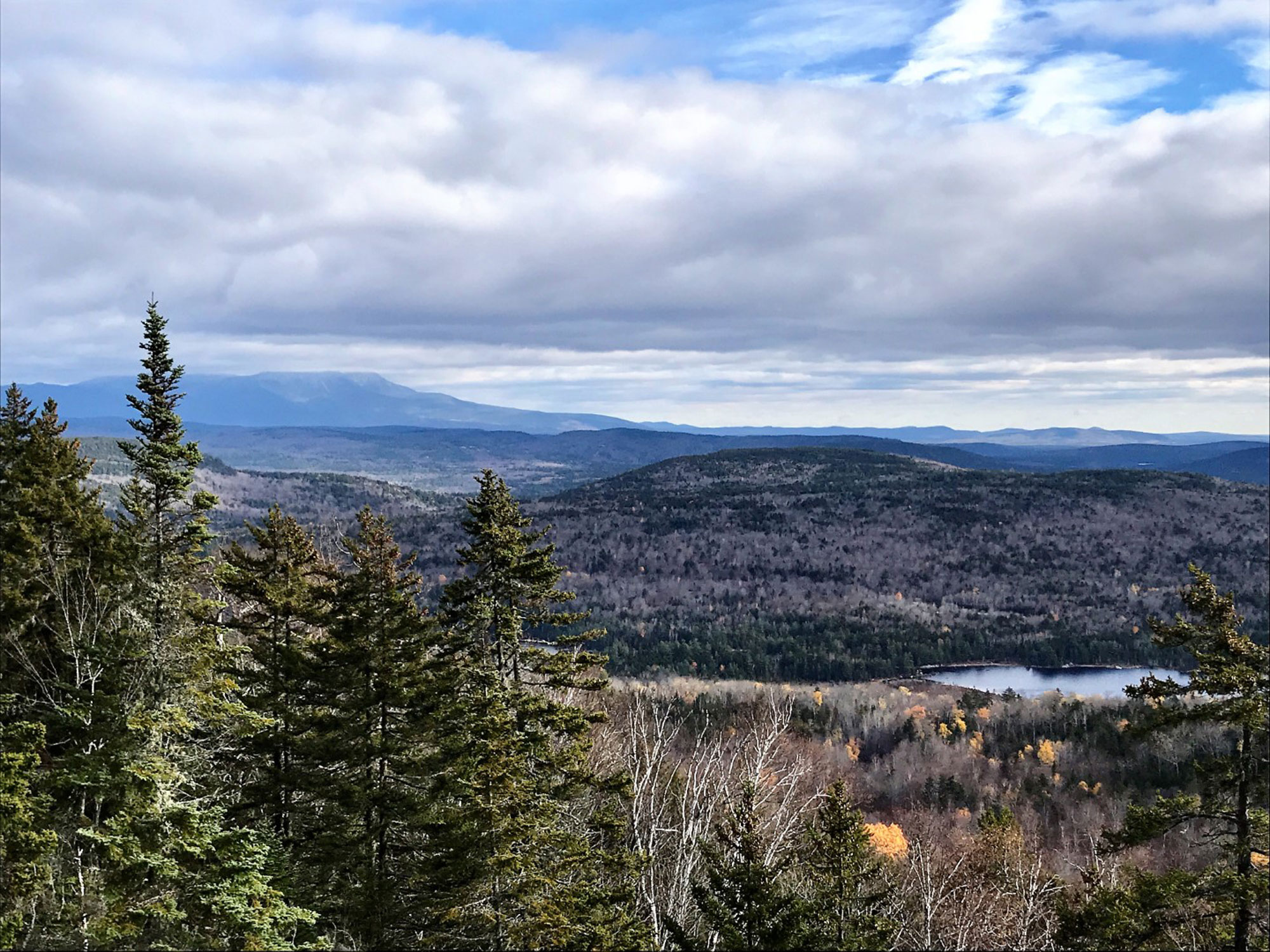
From camp, follow an old tote road west, cross the outlet stream of Wadleigh Pond, and swing back east to begin the ascent of Wadleigh Mountain. Enjoy the spur trail to grand views of Katahdin—at 5,268 feet, it’s Maine’s highest mountain—before arriving at the wooded 1,886-foot top of Wadleigh, which is marked by the base of the former fire tower (removed in 2017). Descend to the wetlands surrounding Third Musquash Pond, then continue through the trees out to Nahmakanta Road and a parking area with another big vista of Katahdin. After a stretch next to the outlet of First Musquash Pond, scramble over the slopes of Turtle Ridge. Join the Turtle Ridge Trail system and drop steeply down to Sing Sing Pond where you’ll camp for the night.
Day 4: 3 Miles
Enjoy a lazy morning in camp. When you’re good and ready, meander along Sing Sing Pond to Hedgehog Pond and then Rabbit Pond. From here, you’ll follow the pond’s outlet out to your vehicle and the end of the Great Circle Trail route.
To reach the Nahmakanta Public Lands and the GCT: From Maine Route 11 in T4 R9 NWP just south of the Piscataquis-Penobscot County line and about halfway between Brownville Junction and Millinocket, proceed north on Jo-Mary Road. You’ll quickly reach the Jo-Mary Checkpoint at the entrance to the North Maine Woods, where a fee is charged for land use and camping (Note: cash and checks only). Continue 16 miles on the gravel logging road to the trailhead. Please yield to all trucks.
Find more info and a trail map (the new GCT section is not yet marked on the map but is well-blazed and signed and easy to follow) for Nahmakanta Public Lands at www.parksandlands.com. Information on regulations, travel, fees and camping in the North Maine Woods can be found at www.northmainewoods.org.
Related Posts


