


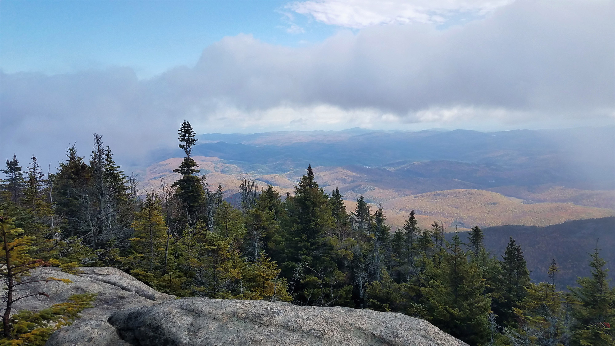
Traversing five High Peaks with awe-inspiring views nestled deep in the Adirondack wilderness, the Dix Range beckons to those hikers with an adventurous spirit and passion for a challenge.
Given its unique terrain, true wilderness atmosphere, and marvelous scenery, the Dix Range is a common favorite among many Adirondack hikers. Beginning from the Elk Lake Trailhead, the difficult, 14.8-mile hike starts off easy, before steeply ascending a unique slide to Macomb’s summit. Next is an exposed scramble to South Dix, followed by a comfortable walk to Grace, and several scenic ups and downs to Hough. A final push through the woods, with some rock scrambles, leads to the remote, bald summit of the state’s sixth-highest mountain, Dix. With a backdrop of lakes, river valleys, other High Peaks, and even Vermont’s Green Mountains, the Dix Range’s allure is undeniable.
Quick Facts
Distance: 14.8 miles, loop
Time to Complete: 1 day (with an optional overnight)
Difficulty: ★★★★
Scenery: ★★★★
Fees/Permits: None
Contact: http://www.dec.ny.gov/lands/9164.html
Turn-By-Turn
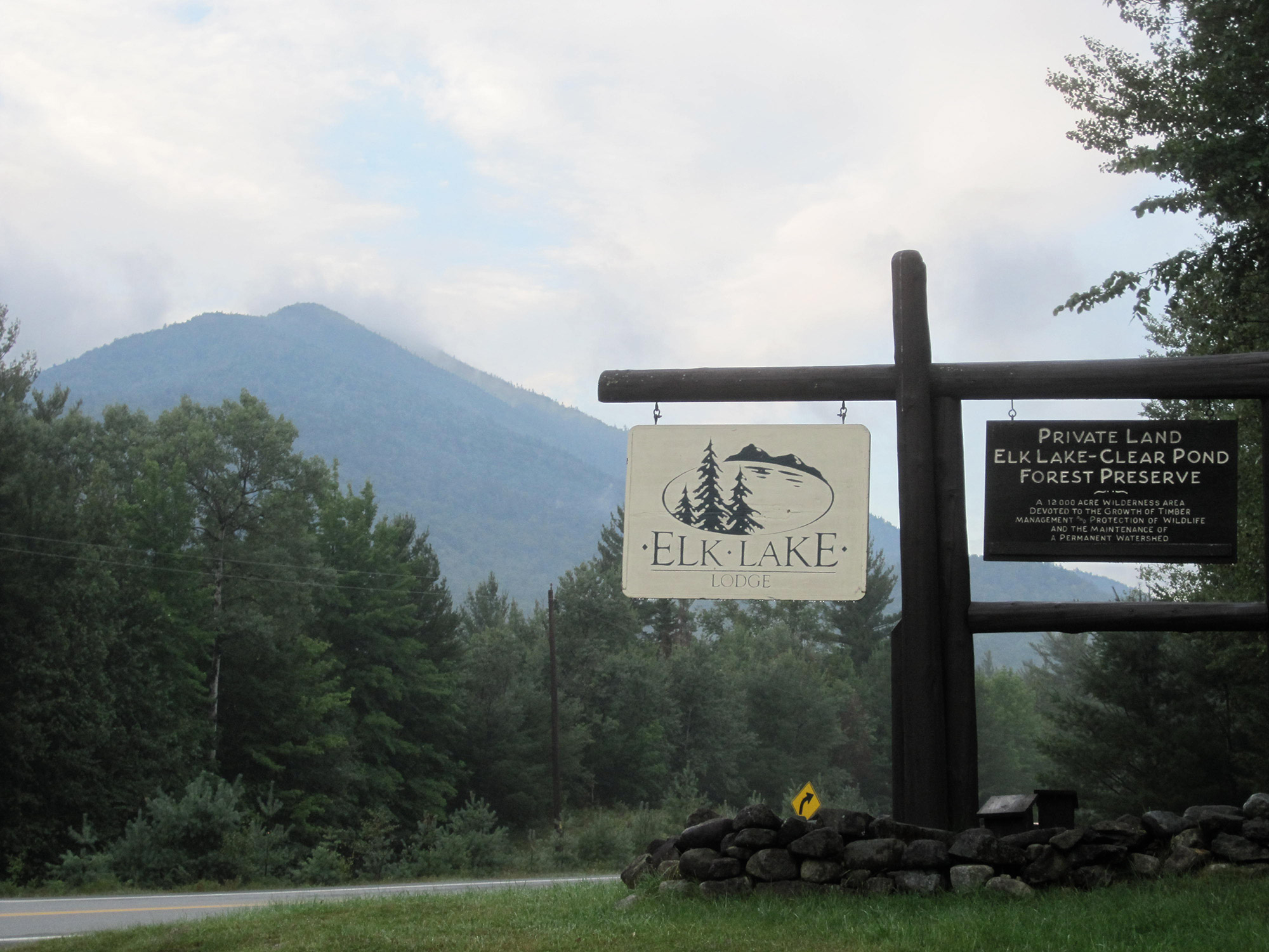
You’ll find parking at the Elk Lake Trailhead along Elk Lake Road, about 20 minutes northwest of North Hudson and 40 minutes northeast of Newcomb.
From the south (Albany, New York City), take I-87 north, and from the north (Plattsburgh, Montreal), take I-87 south. Depart I-87 at Exit 29, (“Newcomb/North Hudson”), and take a left to head west on Blue Ridge Road for about four miles, where you’ll then take a right onto Elk Lake Road. The parking lot will be five miles down on the right-hand side. The surrounding area is private land, however, and outside of the designated lot policy, there is a very strict no-parking rule. Another DEC parking lot is located along Elk Lake Road at Clear Pond, but it’s two miles back from the trailhead, thereby adding on four more miles roundtrip.
The Warmup
Sign in at the register (44.020924, -73.827726) before hitting the trail, which is marked with red discs. The path is well maintained and relatively flat, making it a great warmup and easy to follow if you’re starting before sunrise. This stretch is relatively uneventful, with a few stream crossings, including Little Sally Brook and Big Sally Brook. At approximately 2.2 miles, you’ll reach the Slide Brook lean-to and four primitive campsites. If hiking the entire range in a day seems too daunting, this is a suitable location to spend a night, either before or after hiking the range.
This spot also marks the intersection of the main trail with the herd path you will take to Macomb (44.044437, -73.805971). The herd path will be on your right, heading west, and may seem confusing, as it appears to go right through a campsite. If you stay to the right of the campsite, it will be relatively easy to pick up the trail leaving the site.
The Slide
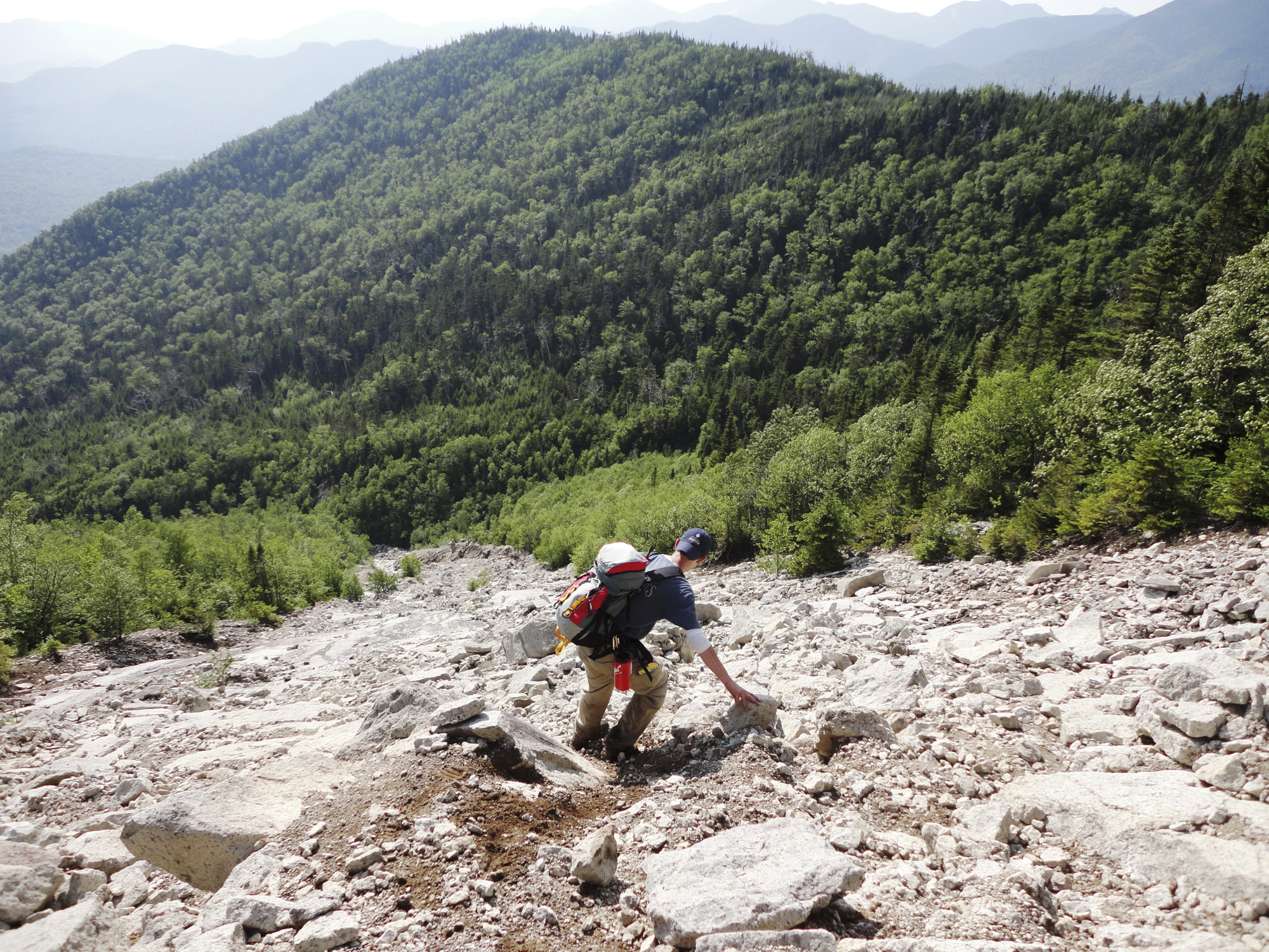
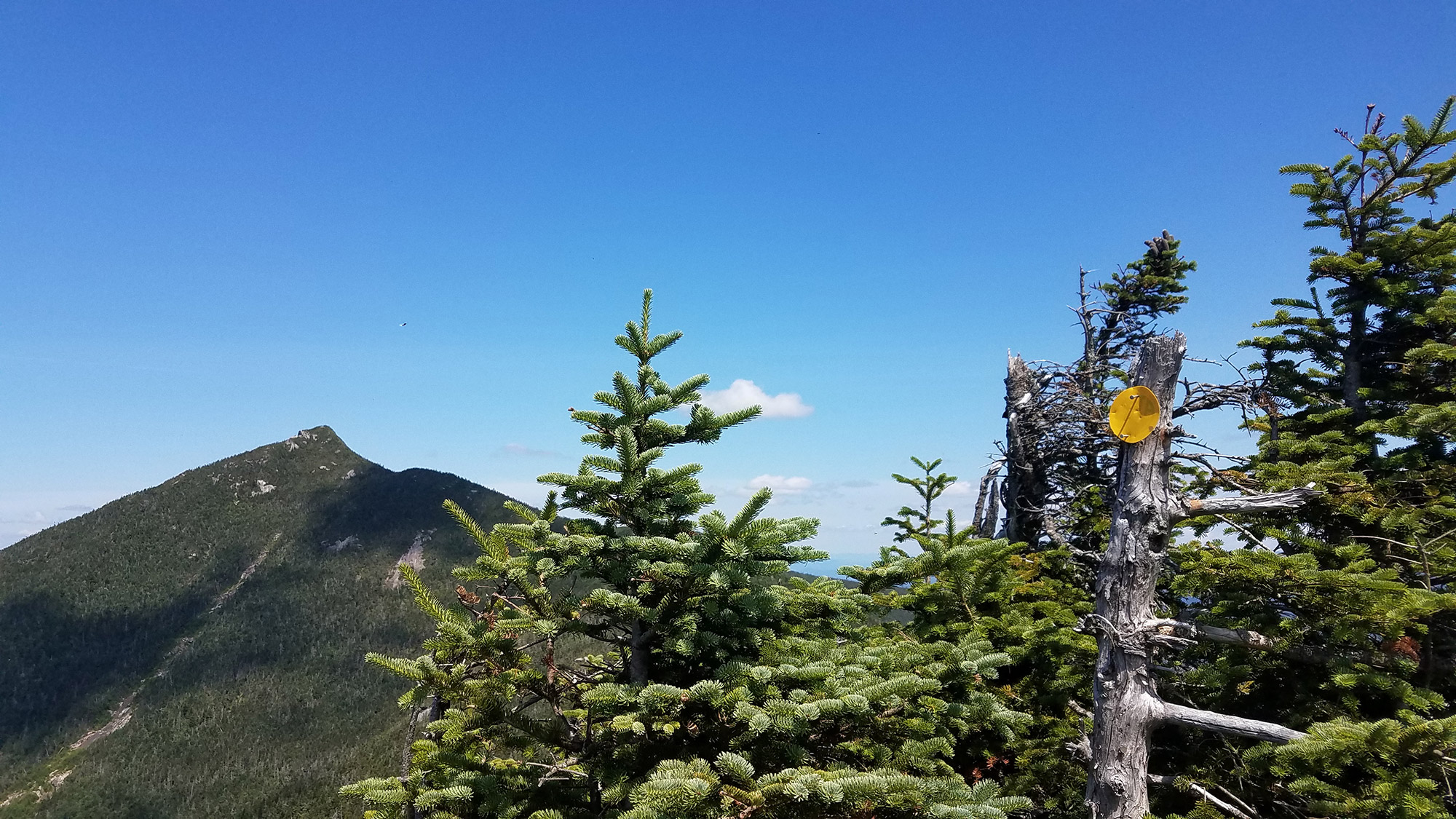
The herd path remains in the woods, paralleling Slide Brook. You’ll gradually gain elevation, before the terrain starts to steepen. Like most of the range’s herd paths, the trail may be narrow at times but is well worn and relatively easy to follow. At approximately 3.5 miles (44.051854, -73.786633), the trail veers right and emerges onto the impressive Macomb Slide. Although the slide is short (0.15 miles), it is very steep, climbing nearly 500 feet. For this reason, the loop is typically hiked counterclockwise: Going up the slide with fresh legs is preferable to going down with fatigued muscles. Unlike most of the Adirondacks’ rock slab-type slides, this one is characterized by rocky rubble varying in size and grade. It can be immensely fun for those who like a good scramble but daunting for others who fear heights or exposure.
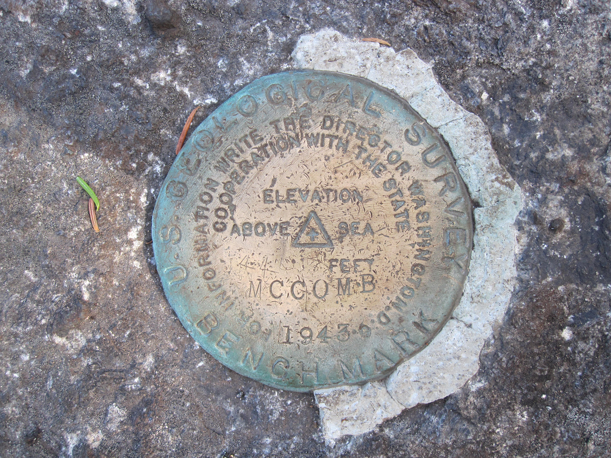
Although the slide has no correct path up, many people prefer to stay toward the right. Take your time and allow for plenty of space between yourself and those ahead. Although there’s no need for a helmet, cascading rocks are common on a busy day. The slide narrows toward the top, so it’s easy to spot where the trail reenters the woods (44.051472, -73.783510). After a few quick rock scrambles, you’ll pop out on Macomb’s summit at 4,405 feet and mile 3.9 (44.051702, ‘-73.780204), where you’ll be treated to beautiful views of Elk Lake tucked among the mountains to the west.
Scrambling
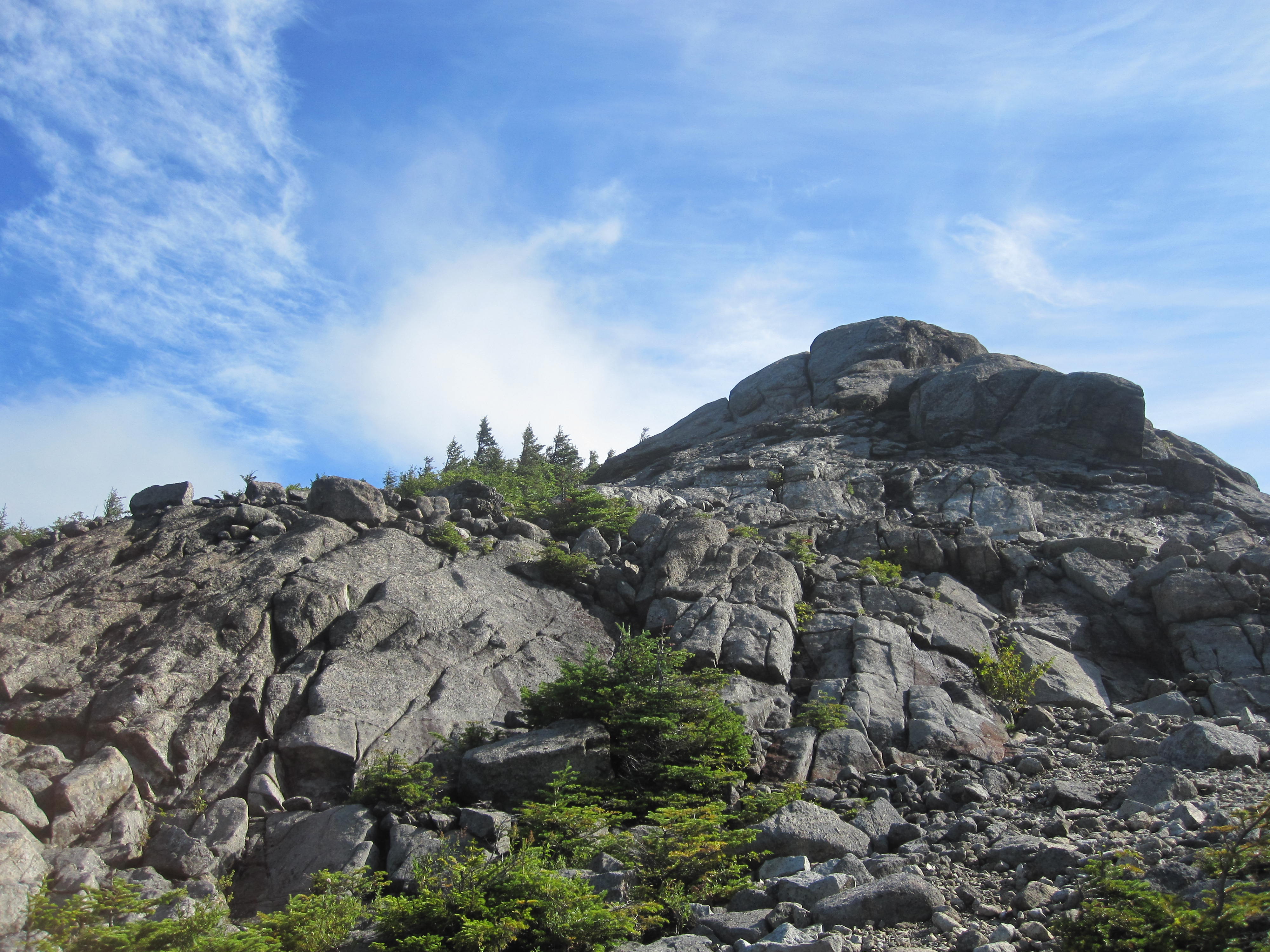
From Macomb, follow the herd path northeast, heading back into the woods. The trail will descend about 600 feet before reaching the bottom of the col between Macomb and South Dix. At the col, take the shortcut to the Lillian Brook herd path. Keep right to stay on the trail to South Dix, and there, you will begin climbing again. Soon, you’ll exit the woods and scramble up a large rock outcropping. Generally, you should stay toward the right but follow the cairns other hikers have created.
You may think the summit lies at the top of this rocky section, but you’ll alternate between woods and more small rock outcroppings two more times before reaching the actual South Dix summit at 4,060 feet and mile 4.7 (44.059934, -73.774472). Located right near the summit, the trail will split: to the right (east) lies Grace and the left (north) is the path to Hough.
Note: South Dix is in the process of being renamed Carson Peak to commemorate Russell M. L. Carson, a founding member of the Adirondack Mountain Club. The names are often used interchangeably.
A Walk in the Woods
At the intersection near South Dix’s summit, stay right to head east toward Grace. Just past the intersection, a short side trail on the right leads to a ledge—the only spot for views on South Dix’s actual summit. Back on the herd path, the terrain is relatively flat before gently descending about 350 feet to the col. From the col, it steepens but is a relatively short 300-foot climb to the bald summit of Grace (mile 5.7), itself barely a High Peak at 4,012 feet (44.065014, -73.757285). On this remote summit, you’ll be treated to sprawling views of the surrounding river valleys and smaller mountains.
If you’re up for some exploring, venture to the summit’s north side to get a look at Grace’s aptly named Great Slide. However, resist the temptation to relax here for too long, and instead, head out, because you still have a good deal of climbing and scenery ahead. From here, retrace your steps back to South Dix’s summit (mile 6.8), and at the trail intersection, stay right (north) to head towards Hough (pronounced “Huff”).
Note: Formerly known as East Dix, Grace Peak was renamed in 2014 to honor Grace Hudowalski, who, in 1937, became the first woman to climb the 46 High Peaks. Old maps and guides will use the East Dix title.
Houghing and Poughing
From the summit of South Dix, stay right (north) at the trail intersection, and follow the herd path as it descends into the woods. After a short while, you’ll begin climbing again and rise above the treeline. Don’t be fooled by the impressive views, however. You aren’t on Hough yet but, instead, on the small bump informally known as Pough (pronounced “puff”).
After meandering along the ridge, the trail descends back into the woods, until it reaches the col between Pough and Hough, which is distinguished by a small clearing. This is also the intersection with the Lillian Brook herd path (44.065483, -73.777484), which is on the left (west) of the clearing and heads back down the range to the main, marked trail.
At this point, assess how you and your group are feeling and check on the time. From this spot, you still have quite a bit of climbing (1,500 feet) and distance (7.6 more miles) to cover. Assuming you’re still up for the challenge, continue straight through the clearing, following the winding herd path up to Hough. The path may be steep and overgrown in areas, and will remind your body how much work it has done so far. Albeit small, Hough’s summit at mile 7.5 (44.069549, -73.777813) is a welcomed resting area with excellent views, including the Beckhorn looming in the not-so-far distance.
The Pinnacle
Upon leaving Hough’s summit, you’ll descend back into the woods and reach a col. From here, the final push begins. More climbing may feel rough at this point, but compared to the section up Hough, this path is a bit gentler. As the woods open, you’ll need to get through a few more rock scrambles before reaching the Beckhorn (44.079930, -73.784957), a large, easily recognizable rock outcropping and the beginning of a marked trail. You’ll return to this location later for the descent of the range.
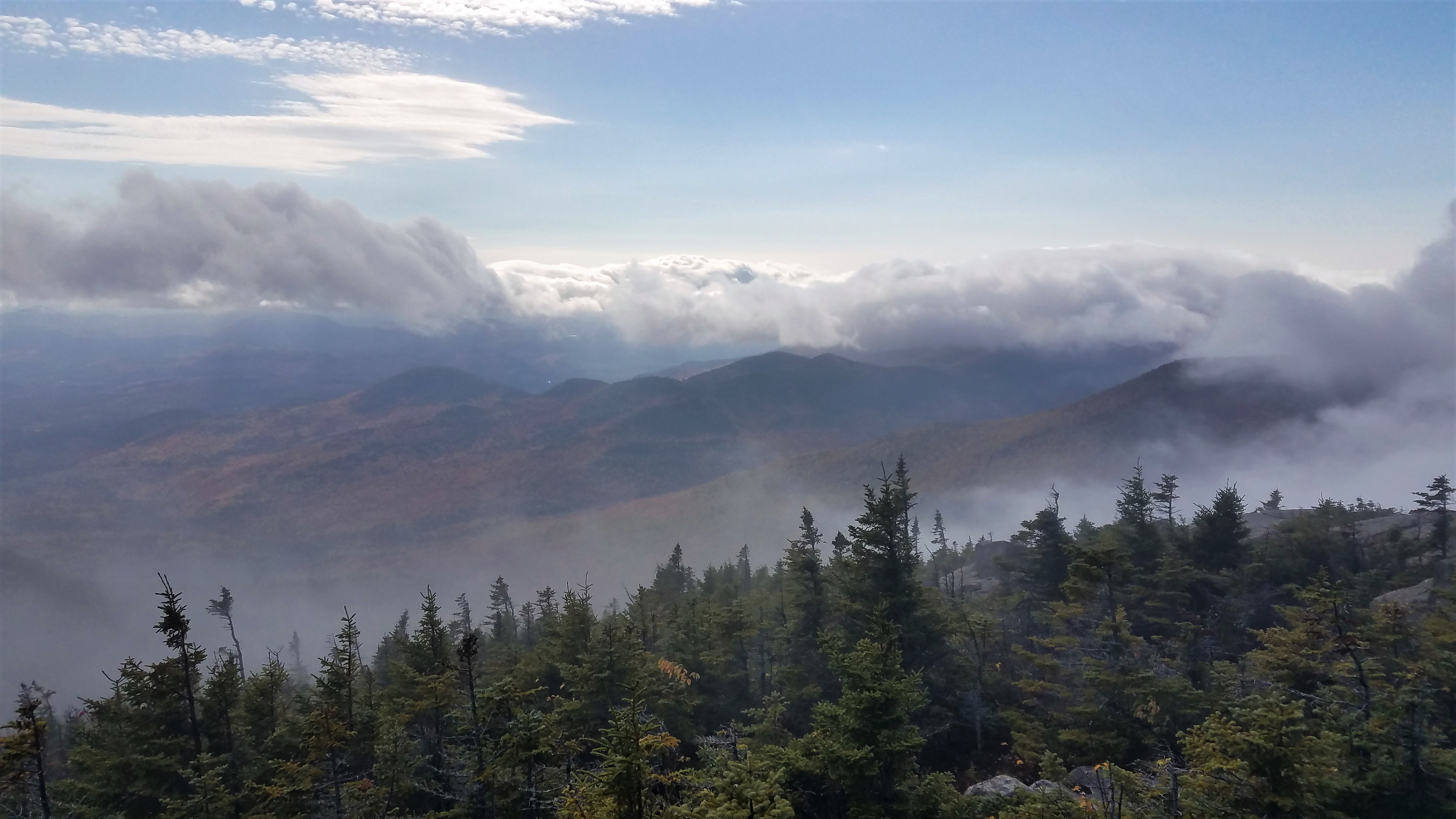
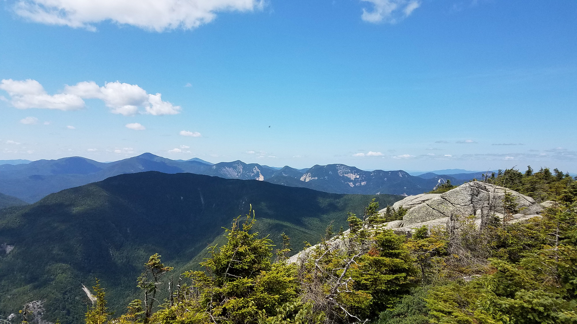
From the Beckhorn, continue north. After only a few minutes, at mile 8.7, you’ll finally reach the range’s crown jewel—Dix itself (44.081902, -73.786366)! Take time to enjoy the summit and exquisite 360-degree views, which, by this point in the day, are well earned. To the west, Nippletop towers in front of Blake and Colvin. Farther out, you’ll spot the Great Range and the always-impressive Mount Marcy. To the north is the Bouquet River valley, followed by Giant and Rocky Peak Ridge. Dix’s summit is bald and forms a short ridge, offering plenty of space for groups to spread out and soak in the afternoon sun. While it may be tempting to stay for a while, be conscious of time. You still have a very steep descent, followed by a long walk out ahead of you.
A Steep Descent
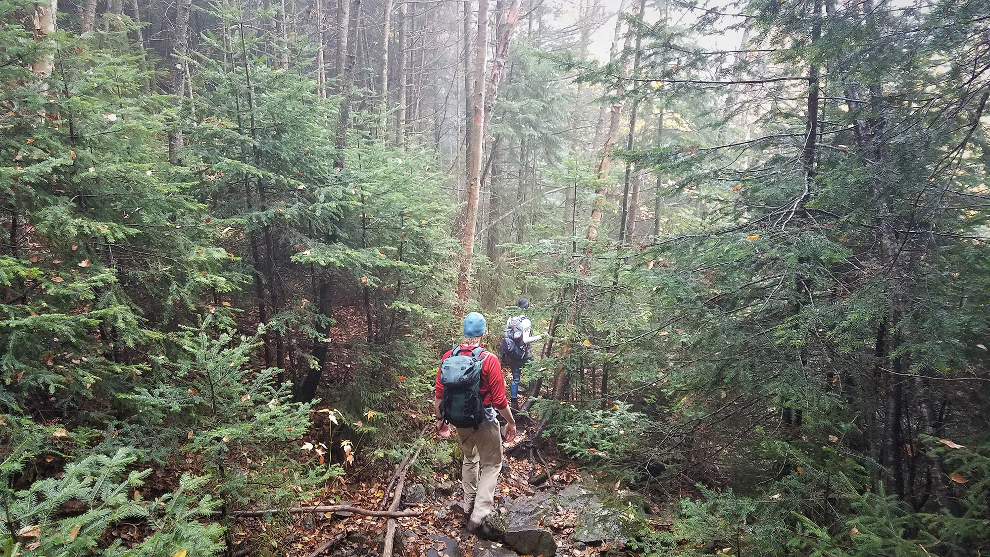
Retrace your steps from Dix’s summit to the Beckhorn, where you will turn right (west) to head down on the yellow disc-marked trail (44.079930, -73.784957). The initial descent of the rocky Beckhorn may be tricky, but look for the yellow blazes to guide you. Once back below treeline, the trail will continue to descend steeply for a total of 2,500 feet over two miles. Keep in mind that many hiking accidents happen on the descent after a successful summit bid. Here, people tend to be fatigued, are eager to be done, and often are less observant. Instead, exercise care, stay mentally alert, and try not to split your group up.
While this trail is no more difficult than almost anything else in the Adirondacks, you’ll be tackling it after an already very full day of hiking. Make sure everyone is hydrated and well fed, so they are in optimal shape and good spirits. After what will seem like an eternity of trekking downhill, the trail ends where it intersects with the main trail (44.068988, -73.809992) at mile 10.7.
Not All Downhill from Here
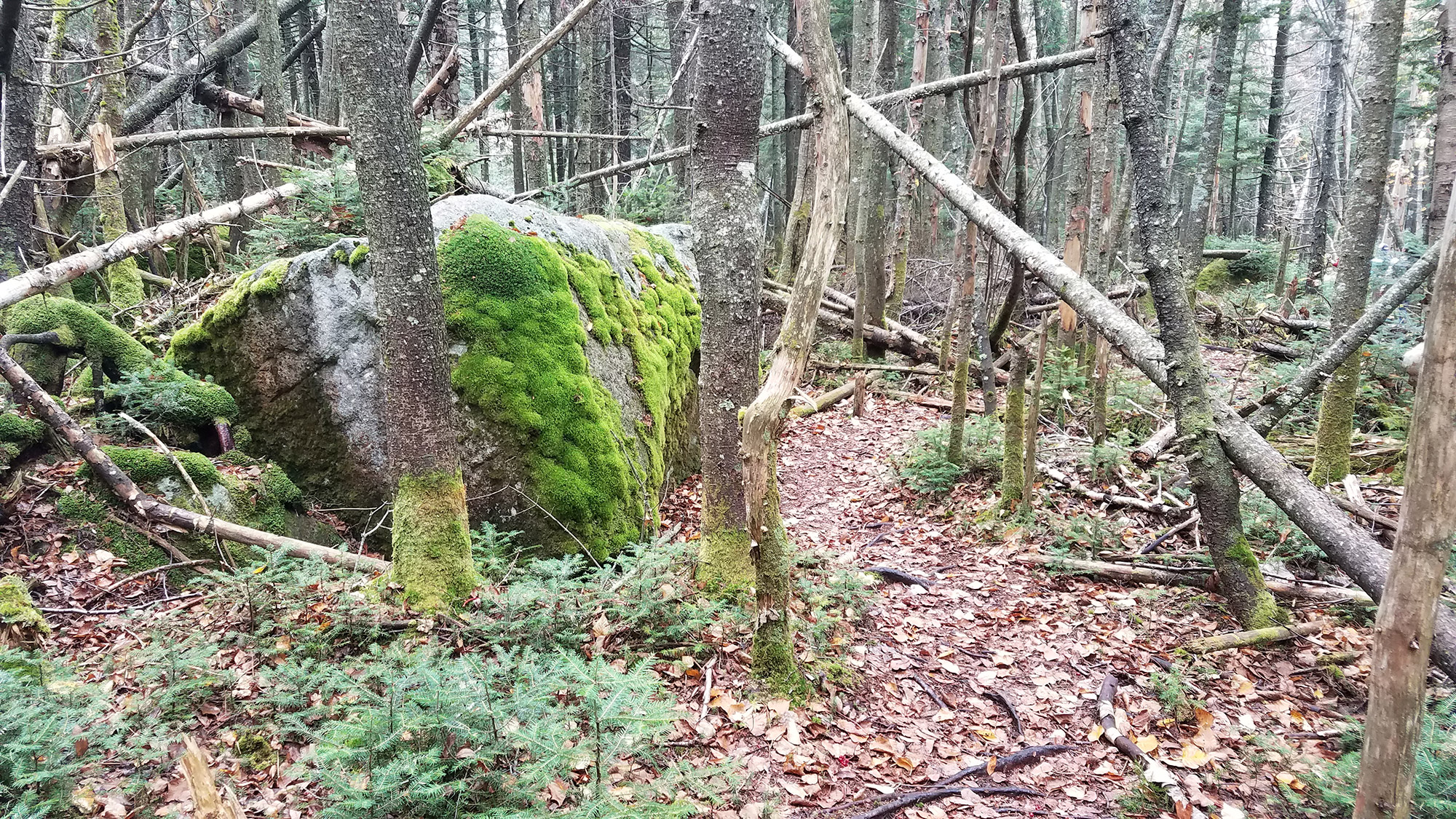
Upon reaching the main trail, turn left (south) to follow the red disc trail markers. It’s a long walk out from here, so settle into a good trekking rhythm and enjoy your surroundings. You’ll quickly pass Dix Pond on the right, before hiking up and over a small bump and crossing Lillian Brook. Beyond, at mile 12.6, you’ll come across the Lillian Brook lean-to and a couple of primitive campsites.
From here, you’ll begin a slow ascent of another “bump,” which, eliciting some grumbles, will account for an unwelcome 200 feet of additional climbing. As the climb tops out and you reach the bump’s high point, you may see a rock cairn on your left. This marks the Lillian Brook herd path, the top of which you saw earlier at the col between Pough and Hough. Continue straight on the main trail, following the red discs, and you will begin to descend the bump. As the trail starts to flatten out, you’ll reach the Slide Brook lean-to and campsites again. From here, you can retrace your steps from much earlier in the day back out to the trail register and parking area, 14.8 miles later.
The Kit
- Trekking poles are essential for the Dix Range, with all the climbing and descending. Invest in a quality pair that is up for the task. LEKI’s Micro Vario Ti COR-TEC Trekking Poles are lightweight and packable and come with a lifetime warranty.
- Although the herd paths are well worn, they are often overgrown with vegetation and can leave bare legs and arms covered in scratches. To stay cool but protected, a durable pair of convertible pants, like the EMS Camp Cargo Zip-Off Pant, are an excellent option. Pair them with the EMS Techwick Essence ¼-Zip for full coverage.
- You should always be prepared when hiking, especially on longer, remote treks. Invest in a basic first aid kit, like the AMK Ultra 0.7 Scout First, which provides a comprehensive selection in a compact, waterproof package. Weighing in at only 6.5 oz., it’s barely noticeable in your pack.
- Nutrition and hydration are paramount on grueling hikes. Calorie-dense foods are your best bet to keep up your energy and save space in your pack. Fill up on tasty Clif Nut Butter Filled energy bars and Honey Stinger Vanilla & Chocolate Gluten Free Organic Waffles. Replenish electrolytes with GU’s Grape Roctane energy drink mix.
- Always carry a headlamp and extra batteries in your pack. They may be the difference between an easy walk out and spending an unplanned night in the woods. Try Petzl’s Actik Core headlamp, which delivers 350 lumens and offers both white light for visibility and red for night vision.
- Pick up the National Geographic Adirondack Park, Lake Placid/High Peaks topographical map. It shows all the trails, campsites, and recreational features and offers relevant information on wildlife history, geology, and archaeology.
Keys to the Trip
- Get an early start. The small parking lot fills up very quickly on weekends (well before 7 a.m.). Additionally, beginning in the dark with a fresh mind and pair of legs is better than finishing in the dark when you’re mentally and physically drained.
- The trail between the Slide Brook lean-to and the Beckhorn is technically unmarked and unmaintained. So, be sure to carry a map showing these herd paths, familiarize yourself with the route beforehand, and carry a compass (that you know how to use!). Although the herd paths are well traveled and defined, preparation is imperative.
- Carry extra water and food. This is a long, strenuous day hike with unmarked herd paths and very few water sources. Staying hydrated and keeping your blood sugar up will keep you strong, focused, and in good spirits.
- Know your and your group’s limitations and be realistic about expectations. The Lillian Brook herd path leads down from the Dix Range to the marked trail and is a good bailout option, if needed. You can always come back to complete the other summits!
- Keep up on the latest trail conditions at the DEC’s Backcountry Information page for the High Peaks Region, which is updated weekly.
- Overnight hikers may use the Slide Brook and Lillian Brook lean-tos, along with the various designated primitive camping sites, although they are first-come. Aside from these marked sites, you can camp anywhere that is at least 150 feet from a water body, road, or trail, and below 3,500 feet in elevation, unless the area is posted as “Camping Prohibited.”
- If you finish early enough, stop at the Adirondack Buffalo Company (closes at 6 p.m.) for a variety of home-baked goods, fresh produce, buffalo meat, locally made crafts, and, perhaps most importantly, coffee. It is located on Blue Ridge Road, just before the Elk Lake Road trailhead.
Current Conditions
Have you hiked in the Dix Range recently? Post your experience and the conditions (with the date of your climb) in the comments for others!
Related Posts


[…] August 19th at 9:30 a.m., I entered the Dix Range, solo, for an intended 18-mile traverse over its five High Peaks. I was running late. Many attempt the loop hike as a day trip, albeit a long one, so I had intended […]