


Crossing eight of New Hampshire’s 100 highest peaks—including two New Hampshire 4,000-footers and two of the 52 With a View—the Kilkenny Ridge Traverse (KRT) is a stellar, secluded backpacking trip for those looking to get off the beaten path.
Pleasant backwoods trails, 4,000-foot peaks, picturesque summit views, and an environment where the moose outnumber the people make the Kilkenny Ridge Traverse a “must visit” for Northeast backpackers.
Quick Facts
Distance: 23 miles, traverse
Time to Complete: Two to three days for most.
Difficulty: ★★★
Scenery:★★★★
Fees/Permits: None
Contact: https://www.fs.usda.gov/recarea/whitemountain/recarea/?recid=74519
Turn-By-Turn
The Kilkenny Ridge Traverse is a point-to-point hike that requires having a vehicle on each end of the trail or arranging a shuttle.
The beginning of the traverse: A north-to-south trip on the KRT starts at the South Pond Recreation Area in Stark, NH. For those coming from the south (which will be most people; Stark is very far north), the most straightforward way to get to the South Pond Recreation Area is to follow I-93 to Route 3 (exit 35) and connect to NH-110 E for the final 10ish miles. The access road to the recreation area is on the right and attentive navigators will find it relatively well signed.
Note that Stark Pond Recreation Area is only open from 10 am to 8 pm and that it is locked with a gate when closed. If you’re concerned about your timing not aligning with the park’s hours, it’s possible to leave your vehicle outside of the gate, however, it will tack on about an extra mile of hiking.
There’s also a fee to use the beach proper at the recreation area, but hikers who explain they are just leaving a car for a couple of days can potentially avoid it if they ask nicely.
The end of the traverse: A north-to-south traverse of Kilkenny Ridge ends at the Starr King Trailhead, the popular jumping-off point for hikers hoping to summit Mount Waumbek. Two medium-sized dirt lots are found on Starr King Road off Route 2 in Jefferson, NH. These lots are often busy on weekends and the road can pose a challenge for clearance-challenged cars. Additional parking is available on the side of Route 2, almost adjacent to Starr King Rd.
This guide details a north-to-south traverse of Kilkenny Ridge. Although the traverse can be attempted in either direction, be aware that water and established campsites are more plentiful on the northern end of the trail while the southern end provides slightly more forgiving and well-traveled terrain, especially as you cross Mount Waumbek and Starr King.
Getting Started
Depart the South Pond Recreation Area (44.59693, -71.3669444) on a hiking trail that begins on the looker’s right of the beach area when facing the pond. The yellow-blazed trail is initially flat and mellow and hugs the right side of South Pond. Gradually the trail moves away from the pond, pleasantly ascending through a hardwood forest composed of birch and beech trees.
Early in the traverse (around the 1.3-mile mark), there’s a signed junction (44.58914, -71.36226) for an optional side trip to a mossy, boulder-strewn gorge known as Devil’s Hopyard. A little more than a mile round trip, Devil’s Hopyard is one of the more unique features in New Hampshire, but backpackers will need to balance their desire to see it with the prospect of adding mileage so early in their trip.
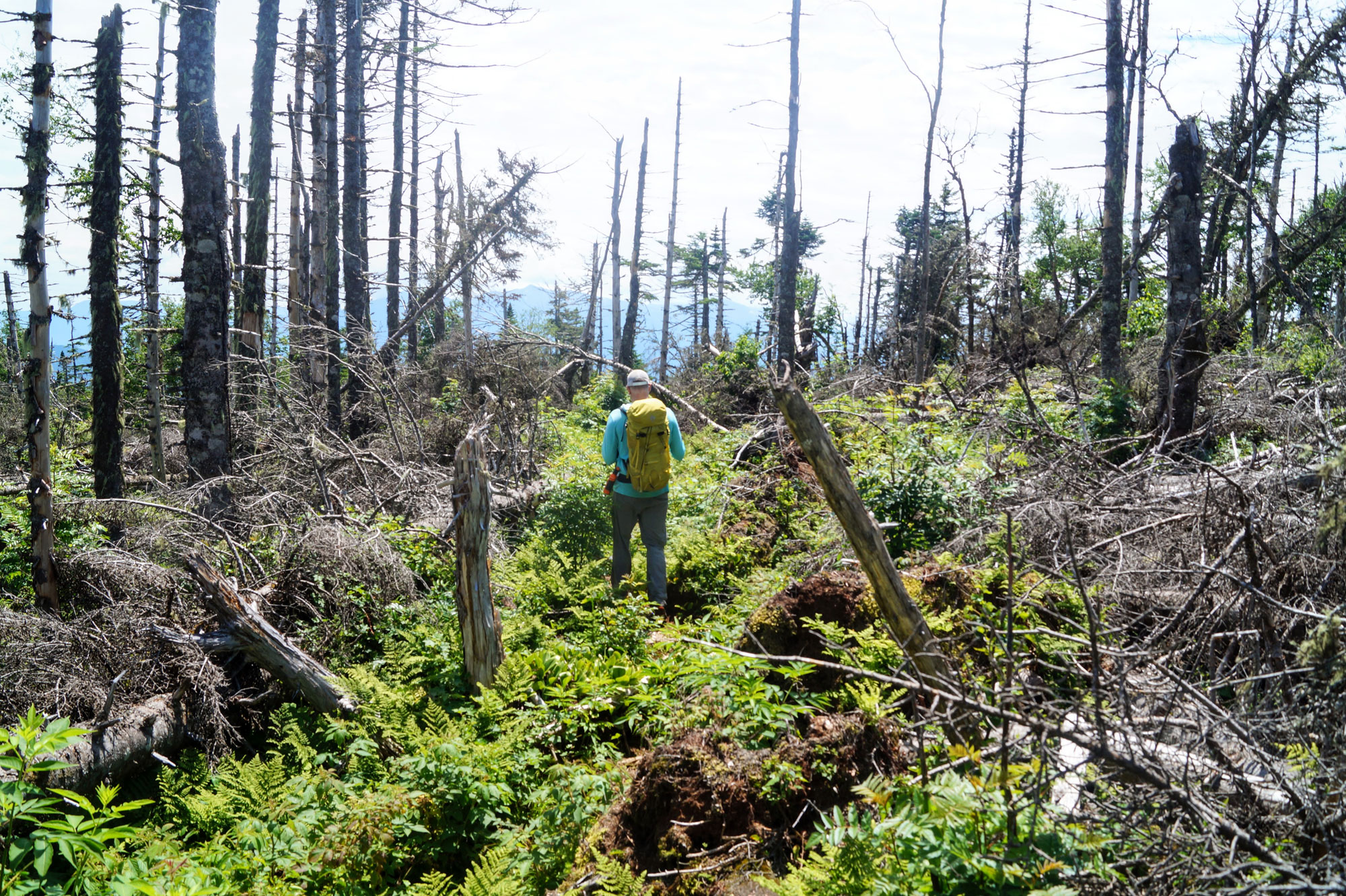
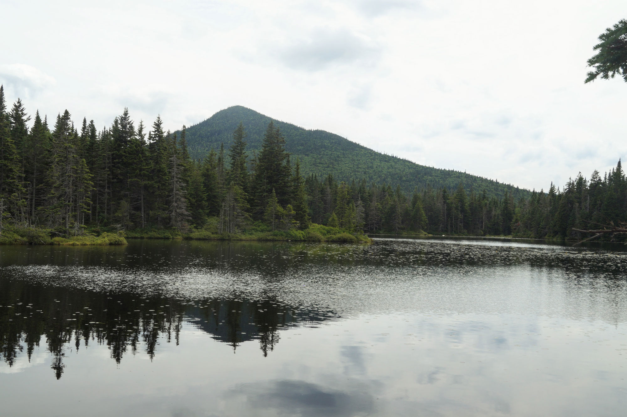
From the junction with Devil’s Hopyard, continue on the KRT for another few miles. During the final bit of this section, you’ll encounter your first vertical challenge of the day, as the trail climbs to the 2,966-foot summit of Rogers Ledge (one of the 52 With a View). Just below the summit, there’s a great overlook on an open ledge with the peaks of the traverse in the foreground to the southwest and the northern Presidentials looming large on the horizon. Enjoy the overlook and a snack, then scamper up another few hundred feet to the true summit above (44.55010, -71.36193).
Rogers Ledge to Unknown Pond
After Rogers Ledge, the KRT drops steeply, losing several hundred vertical feet in a matter of minutes. As the trail begins to level out, the Rogers Ledge Tentsite (44.54524, -71.36420) is on the left. With four tent pads, toilets, a fire ring, and nearby water, this free campsite is a possible spot to spend the first night of a three-day traverse, especially if you got a late start after staging a car at the trail’s southern terminus. If it’s still early in the day, or you intend to complete the traverse in two days, pushing on makes more sense. There’s another campsite ahead and so far you’ve only covered about a quarter of the total mileage.
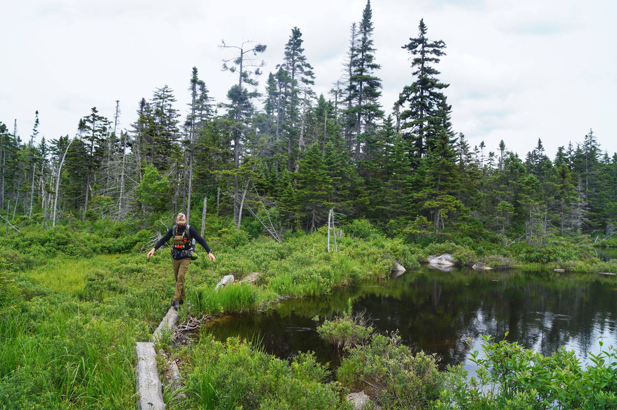
Just after the campsite, the KRT intersects with the Mill Brook Trail (44.54412, -71.36481) and crosses a series of ponds on log bridges. These boggy sections are great opportunities to see the moose and other wildlife that frequent the area.
Climbing above the bogs, the KRT quickly gains about 600 vertical feet on the approach to the Unknown Pond Tentsite. Situated just above Unknown Pond, the site (44.52814, -71.39080) has six designated tent pads, an outhouse, and reliable water.
For the uber-motivated who are staying overnight at Unknown Pond, a post-rest option is to ascend Unknown Pond Peak, a trailless peak on the New Hampshire 100 Highest list. Even if you’re not staying overnight, refill your bottles with the Unknown Pond’s clean, crisp water—it’s the last reliable water source between here and the south side of Cabot.
Unknown Pond to Cabot
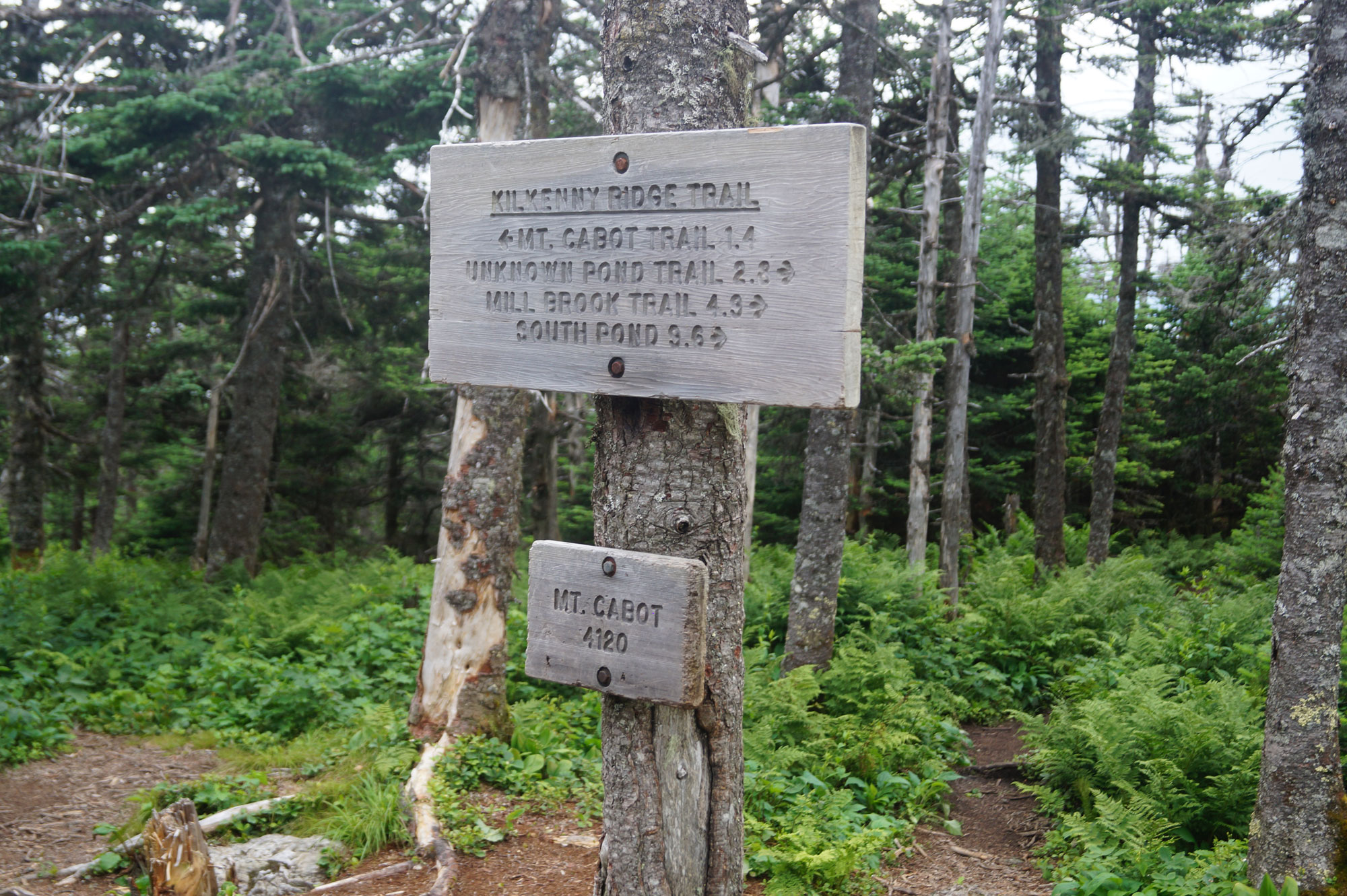
A few trails intersect at Unknown Pond and it’s easy to get disoriented when continuing south on the traverse. Leaving the tentsite, the KRT loops around the right side of the pond. Be careful to follow the right trail as you go, as the KRT’s signed junction with the Unknown Pond Trail (44.52887, -71.39223) is particularly disorienting; Continue to follow the KRT’s rectangular yellow blazes.
The next climb of the traverse follows soon thereafter: a 450 vertical foot ascent up toward the Horn. The northeastern-most mountain of the Pilot Range (the first of the two ranges you’ll traverse on this trip, the other being the Pliny Range), this 3,905-foot peak is on the NH 100 Highest list as well as the 52 WaV.
The Horn and the Bulge
The Horn’s true summit (44.51794, -71.40026) is easily reached via a 0.6-mile out-and-back that adds 200 vertical feet. Although this detour adds a little distance, backpackers are rewarded with 360-degree views that may be the best of the trip. (One caution: Surmounting the rocky summit block requires a little scrambling; The easiest ascent of the block is on looker’s right as you approach.)
Once you’ve had your fill looking north at what you’ve done so far and scanning south at what’s immediately ahead (the aptly named Bulge, for starters), descend the Horn and regain the KRT.
From here, it’s a short traverse over to the Bulge, followed by another short-but-steep climb to its summit (44.51449, -71.40863). The KRT conveys backpackers right over the Bulge, which at 3,950 feet is the second-highest non-4,000-footer in New Hampshire and another member of the New England 100 Highest list. Unfortunately, there’s no view to speak of from the summit, just a small stone cairn.
Mount Cabot
After dropping from the Bulge, the KRT almost immediately starts to regain the vertical you just lost as it climbs up Mount Cabot. A steep ascent toward the end, backpackers are rewarded for the 500 vertical feet of climbing by popping out near Cabot’s summit. The tallest mountain of the trip—and one of the 48 New Hampshire 4,000-footers—the true summit (44.50623, -71.41468) is at the end of a short herd path and marked with a cairn. Like Bulge, there isn’t a view from the summit proper.
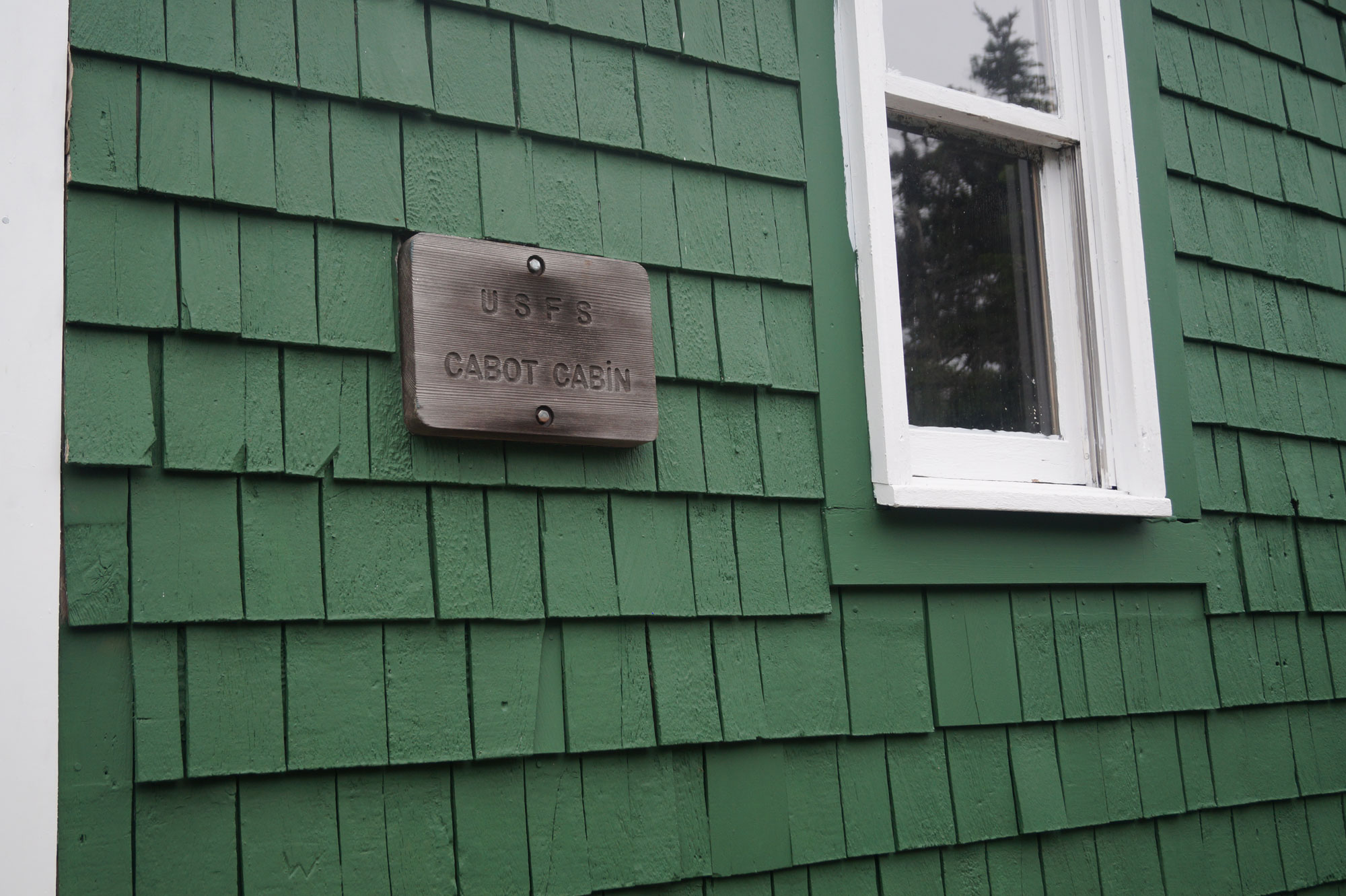
A little further south on the KRT is the Mount Cabot Fire Warden’s Cabin (44.503330, -71.41014). Situated at the traverse’s approximate midpoint both in terms of mileage (10ish) and elevation gain (4,700 feet), the cabin sleeps four to six and is a great (and free!) place to spend the night if you can tolerate the friendly mice. There’s an outhouse nearby. There are also a few well-worn tent sites, though camping technically isn’t allowed near the cabin.

Cabot to Willard Notch
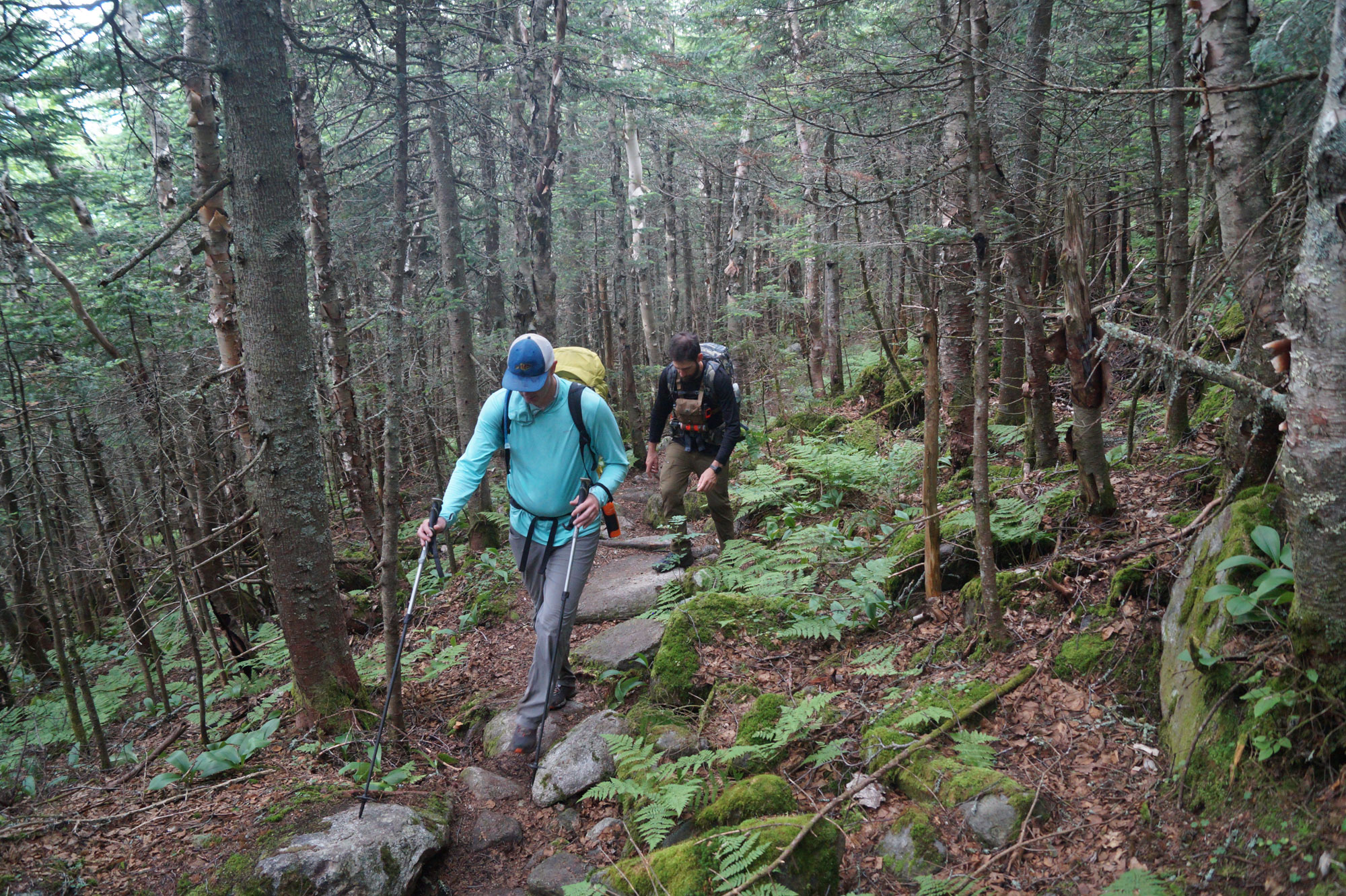
From the Fire Warden’s Cabin, the KRT descends into Bunnell Notch, losing much of the elevation you spent the prior hours (or day) gaining. Be sure to briefly pause your descent at Bunnell Rock, a signed overlook with stellar views of the northern Presidentials.
The descent becomes more gradual near the old and closed Mount Cabot Trail. The KRT then begins an eastward traverse through Bunnell Notch where it ultimately splits southeast at a signed junction (44.49498, -71.41021). Just before the junction, there’s a stream in the woods below the right side of the trail—even though it may seem like a hassle at the time to descend off-trail to fill your bottles, you should get water here, as there aren’t many reliable options for much of the rest of the traverse. There are also a few worn-in camping spots near the junction and in the vicinity of the stream.
North Terrace and Terrace Mountain
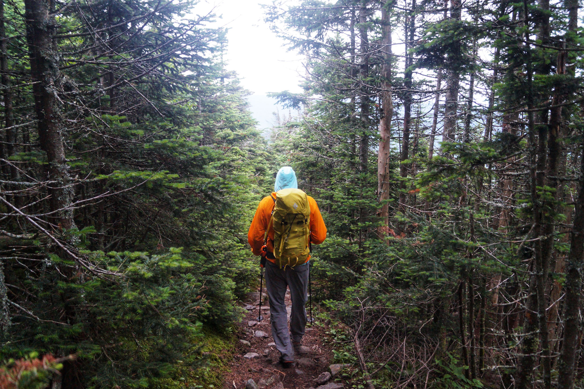
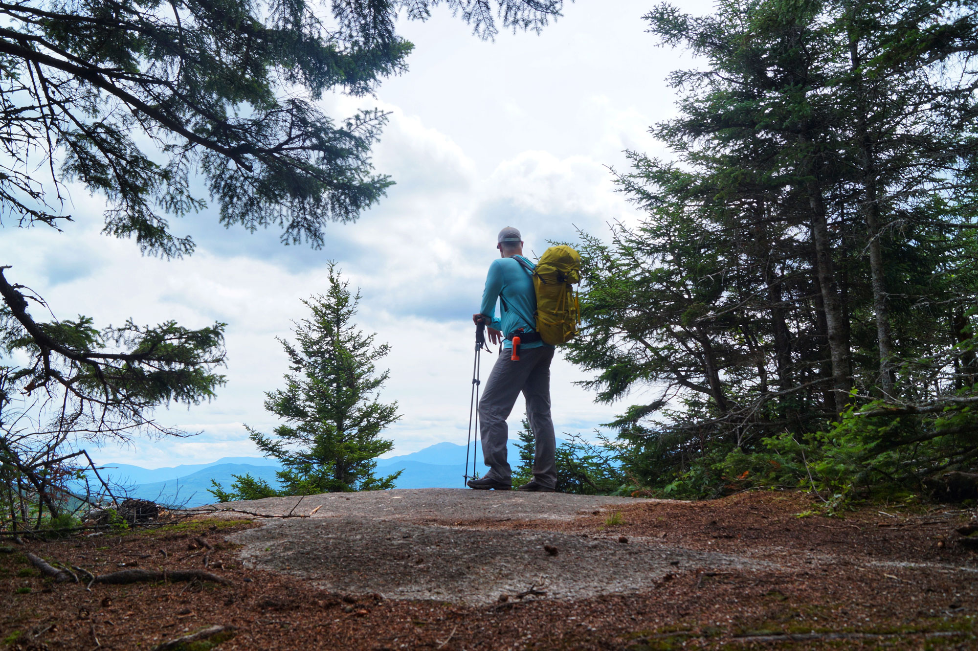
Shortly after the split, the KRT climbs steeply out of Bunnell Notch and up North Terrace Mountain. Descend off this bulge then traverse over to the base of another bulge—Terrace Mountain—where there’s a signed junction showing the 0.2-mile out-and-back to the true summit (44.47735, -71.39513). Don’t skip this add-on, as Terrace Mountain, which is on the NH 100 Highest list, offers stellar views from the summit proper of the remainder of the traverse. As it snakes out left to right in front of you, don’t get lulled into complacency by the easy-looking ridgeline; Each bump packs a punch.
After Terrace, the KRT drops quickly through an open birch forest with lots of fern and bush growth. A less-traveled path, follow this steep side-hill descent into Willard Notch, where there are some potential camping spots between the KRT’s two junctions (first: 44.47378, -71.38332; second: 44.47384, -71.38224) with the York Pond Trail. Don’t count on easily finding water in this low-lying terrain; We found dry stream beds despite recent rains.
The Pliny Range: The Weeks Ridgeline to Waumbek
Climbing out of Willard Notch, the KRT gains 1,000 vertical feet as it ascends the north side of a string of three mountains named after United States Senator John W. Weeks of New Hampshire, who sponsored the Weeks Act of 1911 that established the White Mountain National Forest. The first and highest of these mountains is Weeks Mountain (3,901 feet), a nondescript summit (44.46149, -71.38178) marked with a stone cairn but with no real view. On the descent from Weeks, keep an eye out for intermittent streams that may provide faucets for refilling nearly empty water bottles—one such stream (44.46059, -71.37807) serves refreshingly cold, clean water when running.
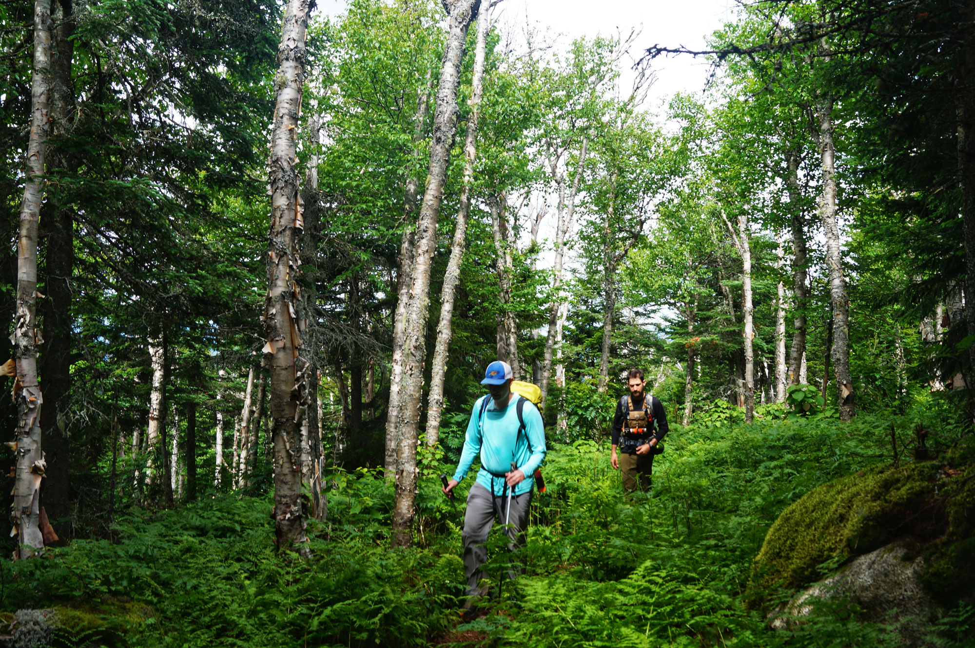
Middle Weeks Mountain and South Weeks Mountain follow along the ridgeline. The ridgeline here is dominated by mature hardwoods and lush green ferns. Middle Weeks Mountain (44.44963, -71.37939), which hikers switchback up, has limited views. Once the KRT traverses over to South Weeks Mountain and ascends almost 300 vertical feet, backpackers arrive at a herd path just near the summit. Follow it for a minute at most to a small cairn (44.44238, -71.38826) in a small clearing. While there are no views from the summit, there are some good ones behind you as you ascend the KRT.
The Final Mountains: Mount Waumbek and Starr King
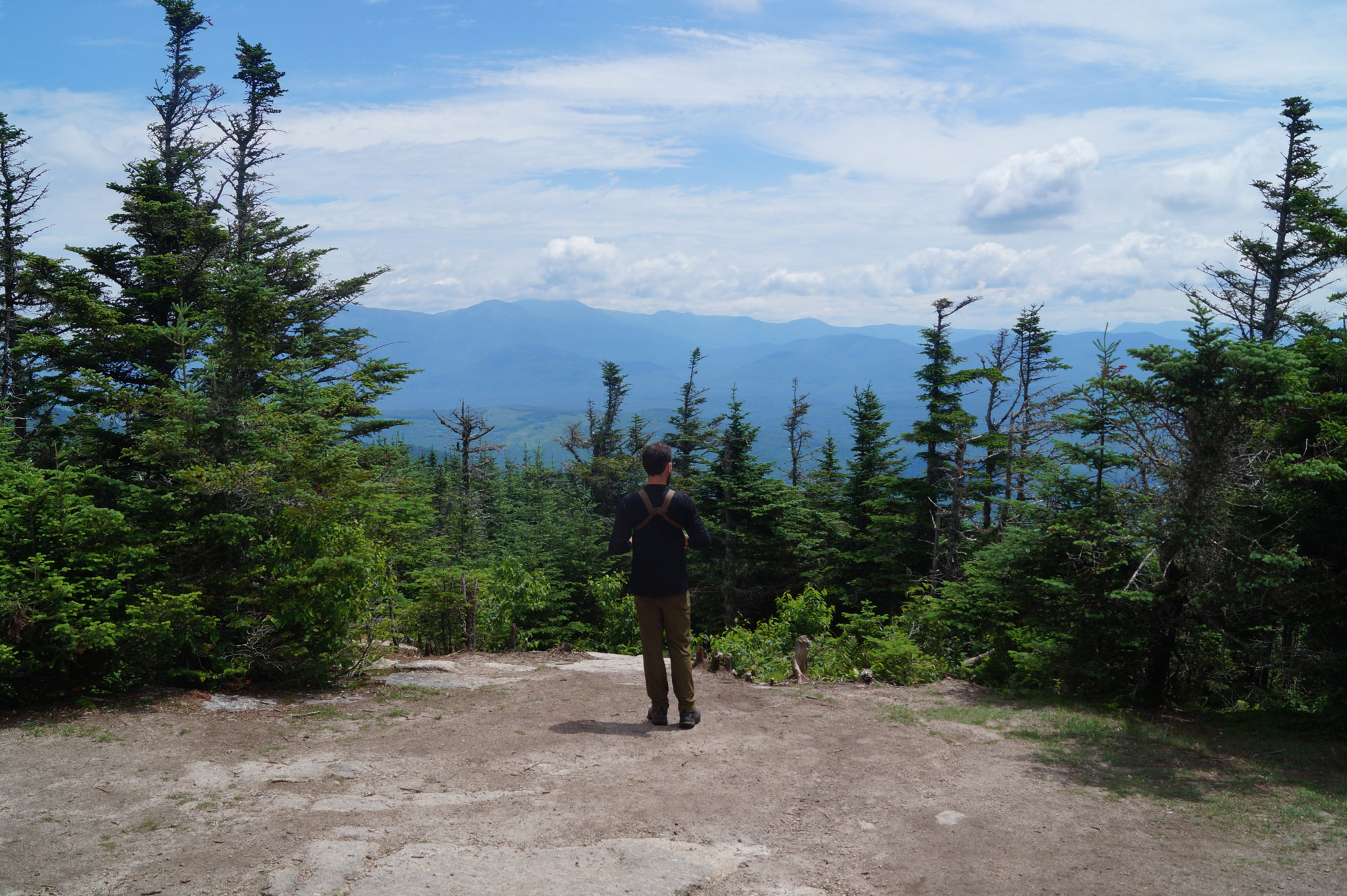
From South Weeks, the KRT makes a long traverse toward the summit of Waumbek, the second 4,000-footer of the trip. Mostly a gradual incline, this section of the KRT may well test even the most diehard hiker’s patience—it’s overgrown, never seems to end, and has numerous false summits. You’ll know you’re close when there’s a large overlook on your left. The true summit is just minutes ahead. If you enjoy views, be sure to stop at the overlook, as Waumbek has no views from the actual summit (44.43250, -71.41763).
Past Waumbek, the KRT continues along the ridgeline through an otherworldly forest, popping out on Starr King after about a mile. One of the two peaks on the 52 With a View list on the traverse, Starr King (44.43532, -71.43280) offers great views to the north, giving you an opportunity to look back at all you’ve accomplished. After taking it all in, finish the traverse by rambling down to the Starr King Road parking lot (44.41847, -71.46674). The descent is moderate and a little more than two miles in length.

The Kit
- There’s a handful of nice, clean-looking water sources along the traverse. Once you’ve seen the amount of moose scat on the trail, however, you’ll want to make sure you filter it. Fitting a Sawyer Mini Filter into a hydration bag is a good option for ensuring clean drinking water. Larger groups may want to consider using a gravity system like the Platypus Gravityworks Filter.
- Whether it’s a freeze-dried meal for dinner or a cup of coffee at breakfast, consuming something warm can provide more than just calories, like a huge psychological boost, especially when the weather cools. Stove systems like the MSR Windburner provide easy operation and super-fast boil times, allowing you to devote your energy to hiking, not cooking.
- It’s no secret that the Sea to Summit Ultralight Sleeping Pad is our go-to choice whether we’re trying to save space on a cross-country flight to climb a volcano or backpacking in the White Mountains. Lightweight and super packable, the Sea to Summit Ultralight Sleeping Pad helps keep pack size and weight down, which in turn, helps keep mileage covered up.
- Whether you’re getting an alpine start, finishing in the dark, or navigating camp, a trustworthy headlamp is vital on the Kilkenny Ridge Traverse. The Black Diamond Storm 400 headlamp provides more than enough light along with handy features like a lock to ensure it doesn’t accidentally get flipped on while in your pack and three night-vision-friendly colored LEDs.
- Why carry trekking poles? There are a lot of good reasons, including that they allow your upper body to share the load with your legs while carrying a heavy backpack, which you’re sure to appreciate after 20+ miles and nearly 9,000 feet of elevation gain. Another reason to grab a pair of Black Diamond Trail Back Trekking Poles is that they add stability, and given the remoteness of much of the KRT, it’s the last place you would want to roll an ankle.
Keys to the Trip
- Crossing the KRT in two days means multiple 10-mile days, each with more than 4,000 feet of climbing. Eliminating even a small amount of weight from your feet by choosing a trail runner like the Brooks Cascadia 14 (men’s/women’s) over a traditional boot can add up to big gains over the course of the trip.
- Refuel and wind down after a traverse of Kilkenny Ridge at the Copper Pig Brewery in Lancaster, NH. If the weather is nice, the only thing that beats their patio overlooking the Israel River is their North of the Border Burrito washed down with a Kilkenny Irish Red Ale.
- Can’t wait to get to the Copper Pig to start replacing calories? The Old Corner Store in Jefferson—almost adjacent to Starr King Road—has everything from icy-cold Coke to piping-hot pizza.
- Water can get very scarce on the southern half of a Kilkenny Ridge Traverse. Even if you’re using a 3-liter bladder, filling an additional Nalgene bottle at Unknown Pond isn’t a bad idea—especially in warm weather or if you’ll be using water for cooking.
- A traverse of the yellow-blazed Kilkenny Ridge Trail is pretty straightforward and well-signed, but a waterproof trail map is helpful for tracking progress and navigating in the event you get turned around.
- Much of Kilkenny Ridge is extremely remote and medical help is a long way away if you need it. A solid first-aid kit—like the Adventure Medical Kits Ultralight Pro First-Aid Kit—allows for self-reliance and dealing with everything from allergic reactions to wounds on the trail.
Current Conditions
Have you hiked the Kilkenny Ridge Traverse recently? Post your experience and the trail conditions (with the date of your hike) in the comments for others!
Related Posts


