

The Northeast has many 4,000-footers—115, to be exact. New Hampshire and New York—each with 48—feature the region’s dominant ranges. Even Maine, known for rocky Katahdin, has 14 of these peaks.
So, it would be easy to overlook Vermont, with just five summits over 4,000 feet. But, if you weren’t paying attention, you’d definitely be missing out. Short hikes, challenging trails, and amazing above-treeline views of Vermont, New Hampshire, and New York make the Vermont 4,000-footers some of the Northeast’s best-value hikes.
Mount Abraham
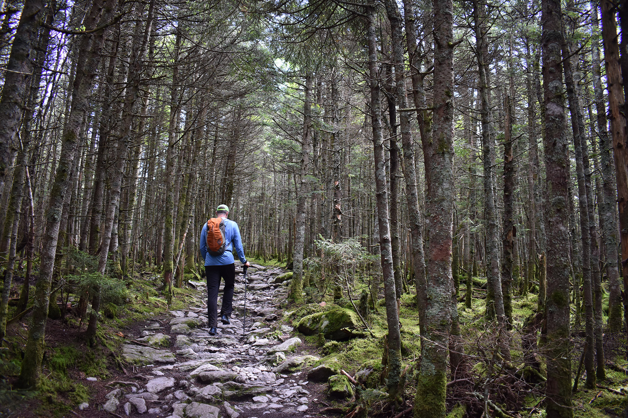
Named after the 16th President of the United States, Mount Abraham is the shortest and “easiest” of Vermont’s 4,000-footers. Luckily, this stunning peak doesn’t need a superlative elevation to attract all types of hikers. Rather, its moderate terrain and fantastic summit views entice almost everyone. In addition to its hiker-friendly trail, Mount Abraham delivers all kinds of walk-worthy views, with Mount Ellen looming on the ridgeline to the north, and the Green Mountains, the Adirondacks, and the White Mountains on competing horizons.
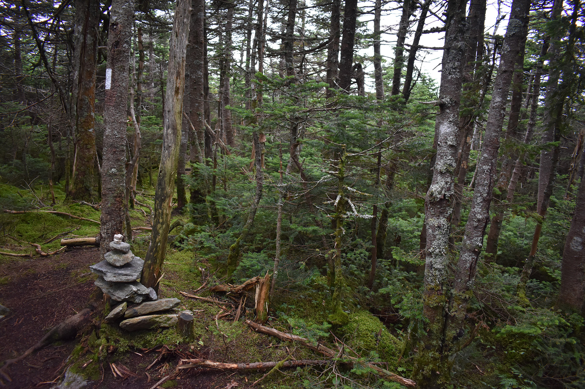
Leaving from the appropriately named Lincoln Gap Trailhead, hikers will follow the Long Trail for roughly 2.5 miles while gaining 1,600 feet in elevation on the trek to the summit. Along the way, hikers will experience a mostly smooth and obstacle-free trail, with a few strenuous sections as it gently picks up elevation. At 1.7 miles, hikers will encounter the Battell Shelter, both a favorite overnight stop and a nice place to sit down and have a snack, if you’re looking to go up and back in day.
Hikers looking for an extra adventure and a different type of view can find the remains of a 1973 plane crash just past the summit on a herd trail located further down the Long Trail.
Mount Ellen
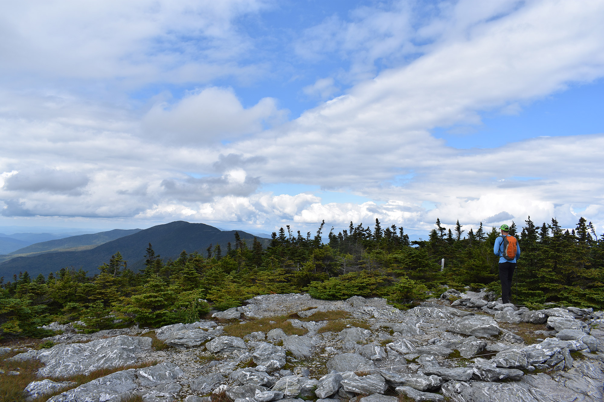
Despite being the only Vermont 4,000-footer to have its summit in the trees, don’t overlook hiking Mount Ellen. Thanks to a great vista when it intersects with the top of Sugarbush Resort, the hike is not without views. And, with impressive ridgeline hiking along the Long Trail, Mount Ellen delivers comparatively unique terrain.
Hikers will leave on the Jerusalem Trail from Jim Dwire Road and follow it for 2.4 miles, before it connects with the Long Trail. Along the Jerusalem Trail, it’s easy to get lost in your thoughts and marvel at the web of tubes woven for maple sugar collection. Once on the Long Trail, hikers will follow a ridgeline section as it climbs up and down before reaching the 4,017-foot-tall summit and having cumulatively gained 2,600 feet in elevation.
Fit hikers, looking to bag two 4,000-footers and sample part of the Long Trail’s “Monroe Skyline” section, should stash a car at either the Lincoln Gap or the Jerusalem Trail and hike Mount Abraham and Mount Ellen together. From either summit, simply follow the Long Trail across this excellent ridgeline stretch while taking in the views and enjoying what many consider to be a classic section of the Long Trail. The almost-11-mile hike covers mostly moderate terrain and also takes you across Lincoln, Nancy Hanks, and Cutts Peaks.
Killington
Ascending Killington via the Bucklin Trail is a great, moderate way to tag Vermont’s second-highest summit and the tallest spot on the state’s portion of the Appalachian Trail. Most can hike it in half a day, and it crosses two iconic thru-hikes, the Long Trail and the AT. At the top, Killington delivers outstanding 360-degree views and is a must-visit spot for any dedicated New England hiker.
Hiking 7.2 miles round-trip and gaining a little over 2,500 feet in elevation, those used to spending time in the Whites or the Adirondacks might be surprised by how quickly they’ll be able to dispatch this peak out-and-back, thanks to the modest terrain—that is, if they can avoid lingering on its lovely summit. Leaving the Brewers Corner parking lot in Mendon, hikers will follow the gentle Bucklin Trail for the first 3.3 miles, before connecting with the Long Trail/Appalachian Trail for the steep and scrambly summit push.
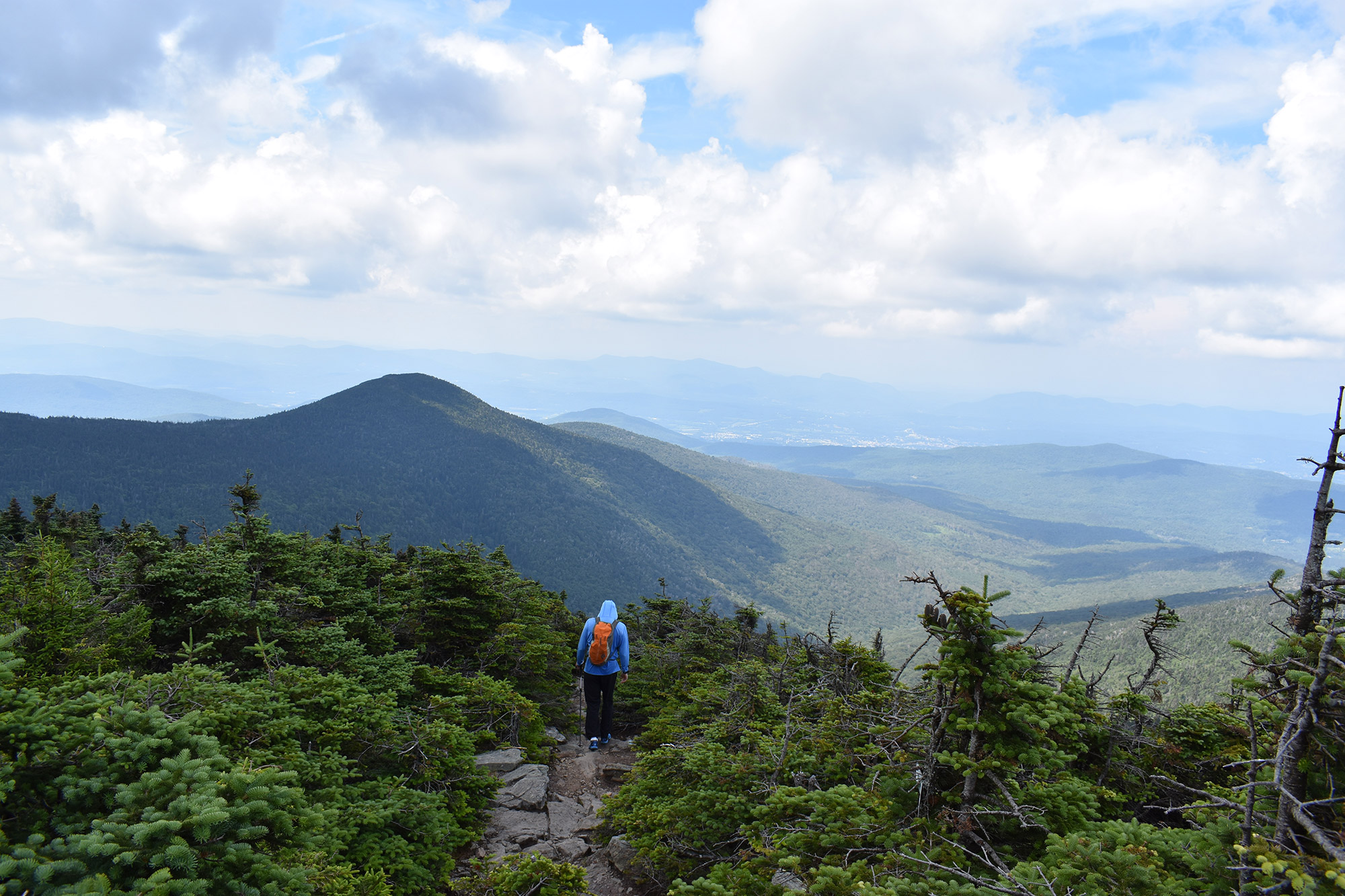
Depending on the day, your summit experience will vary. From the summit proper, a few manmade structures in the distance are easy enough to put at your back and ignore as you look out to Pico Mountain from the open summit slabs. However, on busy days when the Gondola is running from Killington, expect to share the summit with other hikers and non-hikers. Regardless of the crowds, you’ll get plenty of views of the Green Mountains, Adirondacks, and Whites.
Camel’s Hump
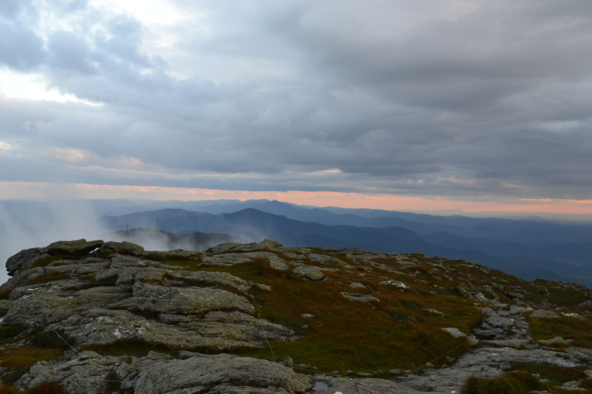
At just under five miles round-trip, hiking the 4,083-foot-tall Camel’s Hump—Vermont’s third-tallest mountain—via the Burrows Trail is a great option for a morning or afternoon. The impressive alpine zone hiking and the treeless summit’s vast 360-degree views, including an awesome perspective of the Green Mountains and Lake Champlain, make this a must-do. On a clear day, hikers can even see as far west as the Adirondacks and as east as Mount Washington.
To begin, access the Burrows Trail at the end of Camel’s Hump Road. You’ll find that the trailhead is easy to spot at the back of the parking lot. In spite of its relatively short length, the Burrows Trail packs a punch. To the summit, attention-demanding rocks and roots characterize its just-under 2,000-foot climb.
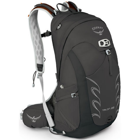
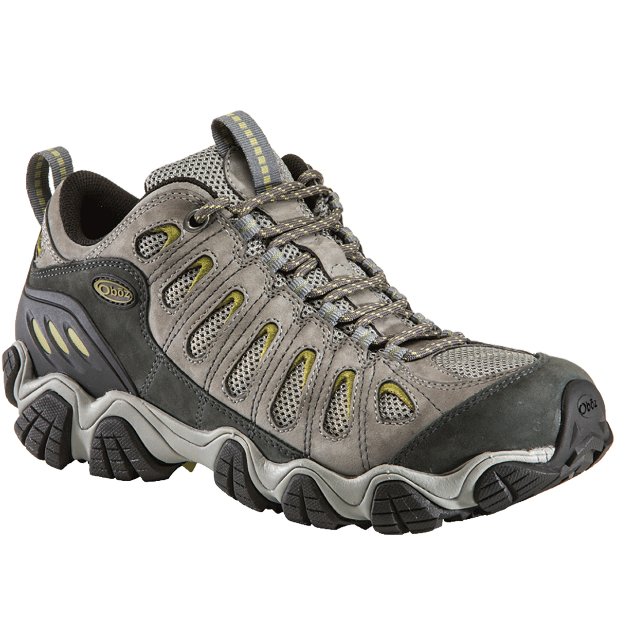
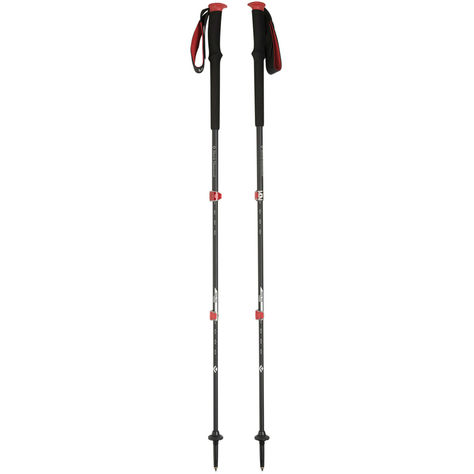
GEAR OF THE TRIP
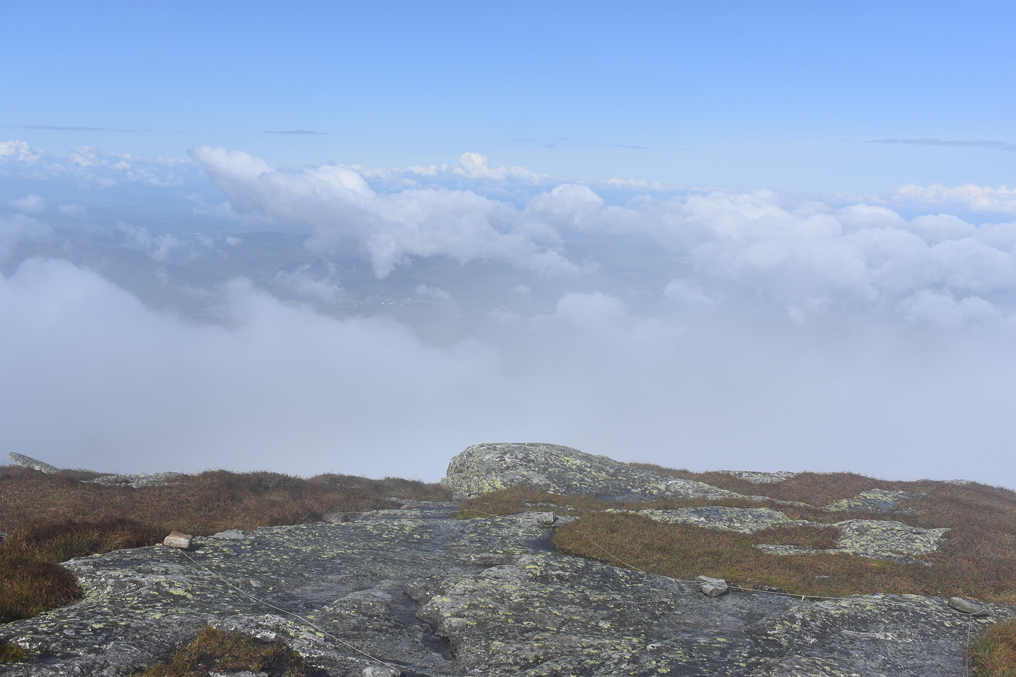
Just before the summit, the Burrows Trail intersects with the Long Trail at a clearing. Here, think about getting your wind shirt, hat, and gloves ready—and maybe even a puffy coat on cooler days. As you head above treeline and onto the Hump proper, you’ll find that temperatures quickly change. Also, when descending, take an extra second at the clearing to make sure you’re heading down the right trail. At this spot, it’s easy to be excited by the summit views and accidentally go the wrong way.
Camel’s Hump is an amazing and challenging hike that can be accomplished with plenty of time left to explore Burlington and Stowe, both of which are nearby. But, because this peak can get busy and the parking lot packed, start early, or be prepared to share it with others.
Mt. Mansfield
Another one of Vermont’s iconic 4,000-footers, Mansfield is the tallest, most northern, and arguably the most difficult peak here, and is a must-do for any Northeast hiker.
When viewed at a distance, Mansfield’s ridgeline resembles a human head, and its various high points are named after such distinct features: the Forehead, Nose, Chin, and Adam’s Apple. To get to the true summit, the Chin, follow the Long Trail South’s white rectangular blazes beginning on Mountain Road (Route 108) just past Stowe Mountain Resort.
Approximately five miles round-trip, the hike begins moderately on relatively smooth trail. About 1.5 miles in, the Long Trail becomes rockier as it approaches the Taft Lodge, where hikers stay overnight either on the way to the summit or as part of a longer outing. Around the lodge, hikers also get their first glimpse of the Chin through the trees.
After passing the lodge, the Long Trail approaches treeline, gaining elevation quickly over 0.3 miles to the junction between the Chin and the Adam’s Apple, one of Mansfield’s many sub-peaks. At the junction, follow the Long Trail South to the left, for a memorable climb up the final 0.3 miles of alpine ridgeline to the summit proper. But, be careful. The ridgeline is very exposed to weather, and a couple segments involve some scrambling.
On the summit, enjoy the alpine flora and the 360-degree views. The view west towards Burlington, Lake Champlain, and the Adirondacks is outstanding, especially near sunset. But, if you stay that late, try not to linger too long, as the scramble back to the Adam’s Apple junction can be treacherous in the dark. As one alternative, try to view the sunset from the Adam’s Apple, which has a similar feel without the exposed descent.
Related Posts


