

After a year unlike any other, what you really need is a sandbar to yourself. What you need is a river you can’t rock hop across. What you need is a forest so dense that you can’t even see others nearby. Cue river trails, like the Congaree River Blue Trail in South Carolina for example. Wide enough to socially distance from start to finish, your chances of encountering crowds are slim while your chances of having a rivers-side campsite to yourself are high. But most importantly, the blue trail takes you to Congaree National Park, a pristine old growth forest set within 27,000 acres of isolation.
Congaree National Park
Congaree National Park didn’t exist 20 years ago. Sure, the virgin forest and its champion trees have been there forever, but it wasn’t until 2003 that the land was upgraded from a National Monument to a National Park. Twenty-seven thousand acres and the largest intact expanse of old growth bottomland hardwood forest remaining in the Southeast was preserved for you and me.
A 20 mile drive from South Carolina’s capital, Columbia, it’s an easy day trip by car. Schoolkids ride the big cheese out in the morning, attend a ranger-led program, and return to school before the bell rings. No knock on visiting by car—it’s free and the miles of boardwalk through the old growth forest immerse you into a primeval world of giant trees while protecting you from impaling yourself on a cypress knee. It’s good family-friendly fun if the Mosquito Meter is a 3 or below (levels 4 [severe], 5 [ruthless], and 6 [war zone] are to be avoided).
The Congaree River Blue Trail
But the most adventurous way to access the park is by river, via the Congaree River Blue Trail. The launch point is in the capital city of Columbia but the takeout is in a different world, 50 miles downstream at the eastern boundary of Congaree National Park. A few outfitters offer shuttle service and gear rental, but if you know someone in town, try bribing them with Sushi Yoshi to shuttle your car to the takeout (with windows down and masks on).
Once you’re past the outskirts of Columbia you’re on your own; The next public bail point is about 47 miles downstream. Bring everything you need and know that drinking water from the Congaree is not recommended. The park itself is about 25 miles downstream, so the harder you paddle on the first day, the faster you’ll get there.
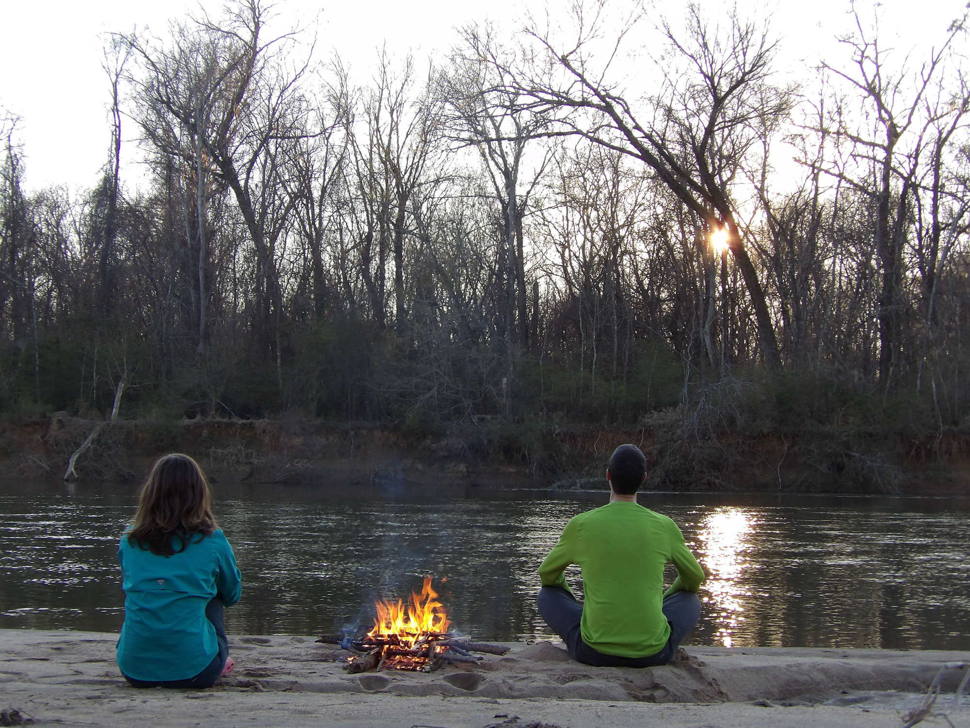
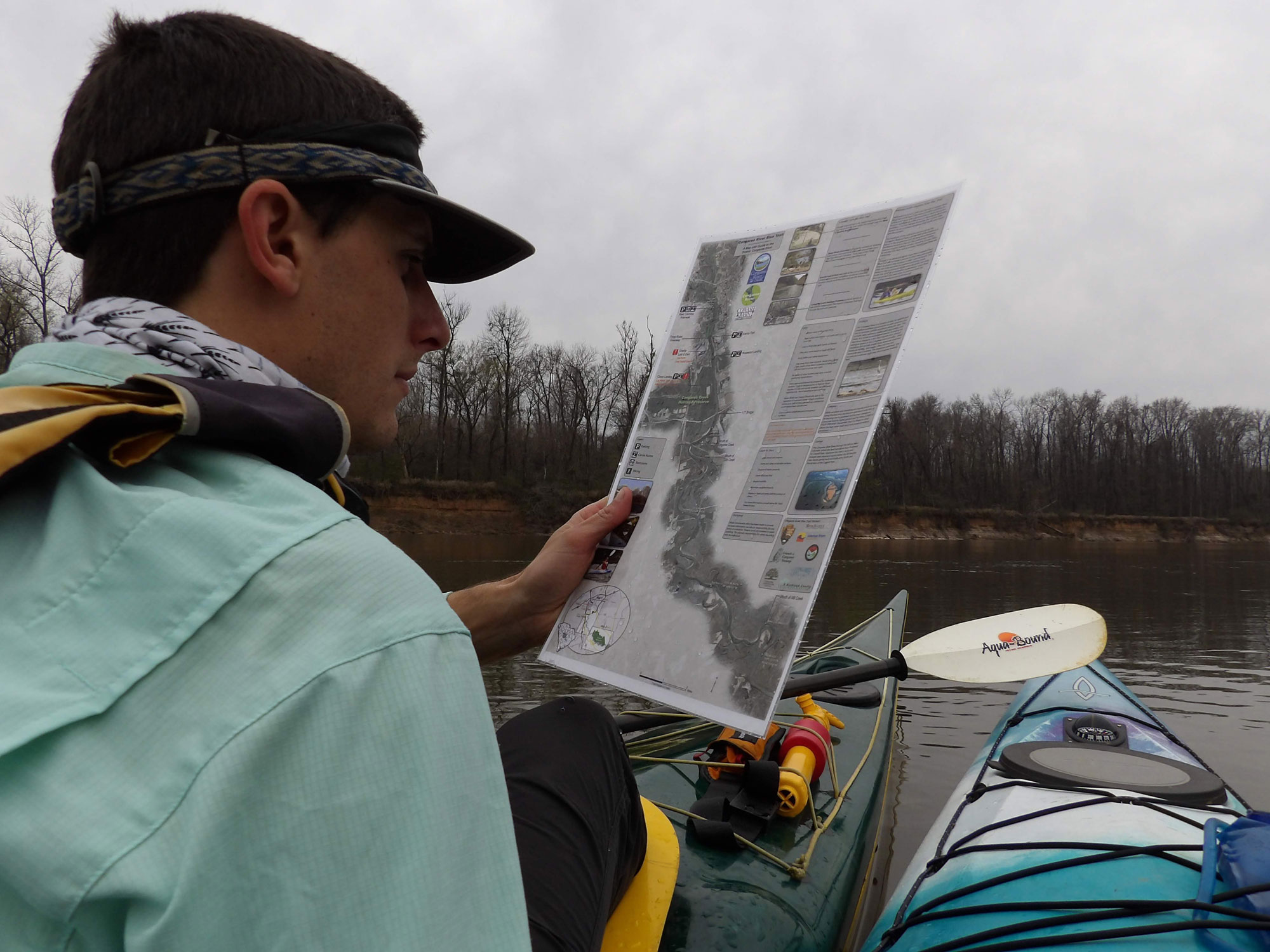
Most people overnight before entering the park, and luckily sandbars (aka campsites) pepper the length of the blue trail. Outside of the park, camping permits aren’t needed, giving the trip a “choose your own adventure” feel. This map shows all of the sandbars and has recommendations for keeping yourself safe and off of private land. The camping situation on the blue trail is one of the biggest perks—every night you have your own beach, a blazing fire, and what feels like your own riverside fiefdom. Just be sure to check the water level before setting out as all but a few larger sand bars will be underwater at around 10,000 cfs.
On my trip, taken in February to avoid mosquitoes, we traveled about 18 miles on our first day, anxious to get to the “good part.” Those first miles are decent; you’re out in the open enjoying the solitude and exercise, but you’re still passing through stretches of civilization. It’s not until you get closer to the park that things start to feel more remote, that the frog calls get a little louder, and that you start to feel like you’re out there.

Beach Oasis
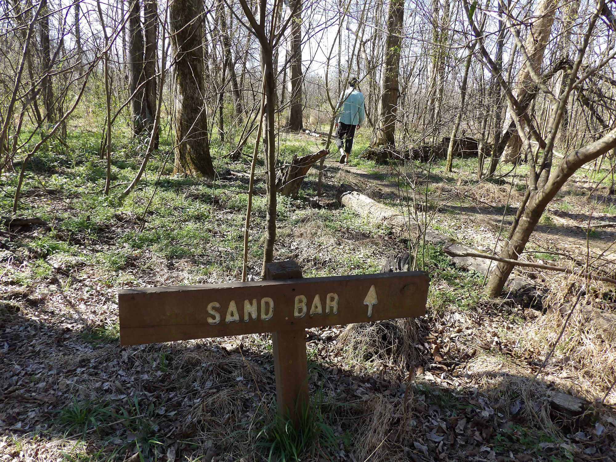
It’s a heady feeling visiting a new National Park, especially when you’re nearly alone to enjoy it. Around mile 25 when you come across an old access road next to a sandbar, you’ve arrived in Congaree National Park. Here, the blue trail meets the River Trail: It’s a 5-mile hike to the Visitors Center. Stretch your legs and experience one of the last remaining forests of its kind. Until about 150 years ago, 52 million acres of floodplain forest like this existed in the Southeastern US, most of which has since been lost to logging. Giant trees provide shade, which after a day or so on the river is a welcome reprieve.
For good reason, the park doesn’t allow backcountry campfires so we spent our second night on a sandbar across the river and downstream, out of the park boundary. From our perspectives, it felt equally remote but on the opposite side of the river from where we’d seen feral hog evidence while hiking. We spread out on the “beach,” playing frisbee, reading, and as soon as sunset was on the horizon, building a fire from beach scraps. A barred owl called, asking the forest “Who cooks for you, who cooks for you alllll,” and as darkness settled in our headlamps began reflecting back at us in the eyes of raccoons.
Our campfire built and food secured against woodland creatures, we brought out the star chart. Even given its proximity to Columbia, the sky is much darker than most of America’s urban areas. We tried to identify the constellations that were rising from the park’s horizon: the Big Dipper, Taurus, Cassiopeia, and a lot of unknowns.
We woke in the morning to little hoof prints around camp—turns out feral hogs are on both sides of the river. Our last day was slow-moving as we didn’t have many miles to go but we wanted to enjoy the day. The left bank remained wild, and the right bank was mainly wild, but showed evidence of a local hangout or two. Even when we passed the Cedar Creek tributary, where paddlers who launch in the park spill into the Congaree, we didn’t see anyone.
Not too long later we arrived at the takeout, tanned, sandy, and planning our next river trip. And as always after visiting a national park, grateful to have visited one of our nation’s natural treasures.
Related Posts


