

Here’s a little secret that backcountry skiers in Massachusetts have been keeping for years: Mount Watatic, in Ashby, Massachusetts, still has awesome skiing. Sure, it’s a small mountain that “officially” closed as a ski resort in the mid-1980s, but in recent years locals have revitalized the abandoned trails, turning it into a backcountry paradise for skiers and riders of all abilities. Read on for the beta of this prime destination, located less than 60 miles from Boston.
Watatic’s Backstory
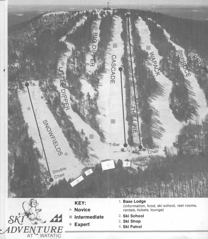
Although skiing began on Mount Watatic as early as 1940 (when a rope tow was installed), the resort’s heyday ran from the mid-1960s to the early 1980s. At its peak, the resort had multiple lifts, snowmaking, a ski school, a base lodge, and night skiing. There were also six top-to-bottom trails—Spruce, Wapack, The Line, Cascade, Big Dipper, and Little Dipper—each with between 500 and 600 feet of vertical drop.
Like so many smaller resorts, Mount Watatic eventually succumbed to larger, glitzier, and more convenient mountains, closing for good in 1984. Things remained quiet at Mount Watatic until the early 2000s, when a company made plans to build a cell tower on the mountain. Thankfully for skiers, the tower was never built, with the land instead purchased and set aside for conservation in 2002. However, this didn’t happen until after the telecom company that planned to build the tower had blasted a road to the top of the mountain, slicing diagonally across the ski area (and the remnants of the ski trails) in the process.
Accessing the Goods
Whichever lot you decide to park in, “the road” is now Watatic’s most distinct landmark. It is the easiest ski descent on the mountain and it is also the unofficial uphill route for skier traffic thanks to its wide, even surface and moderate grade.
The road also separates Mount Watatic into two sections, the upper mountain and the lower mountain. Although it feels strange to divide a mountain with less than a thousand feet of elevation into sections, both the upper and lower mountain have distinct characteristics.
The Upper Mountain
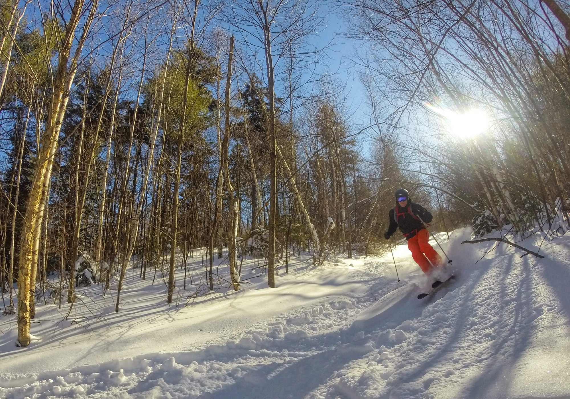
The runs on the upper half of Mount Watatic feature everything from short, steepish chutes to perfectly spaced pine glades. In line with the old ski trails, the most challenging terrain is found on skier’s right just below the summit—on top of the old ski resort’s two black diamond runs, Big Dipper and Little Dipper. Attentive skiers should look for the awesome glade run hidden between the two; make sure to check it out on a pow day!
Cascade and Thin Line drop straight down the center of the upper mountain. Their starts are easy to find and both lead to tight runs that are lots of fun in good snow conditions. Of the two, Cascade is better maintained and, in most conditions, a little wider and easier.
The remnants of the trails on skier’s left are a little harder to find; the upper portions of the road have subsumed a good part of the upper section of Wapack, while the start of Spruce is overgrown and partially hidden. However, spending the time to find the start of Spruce—you’ll essentially ski down a short section of the hiking trail to find it—is well worth it, as it’s a tight, fun run that flows uninterrupted to the base area.
Because these runs are not formally maintained, conditions can vary from totally clear to shwacky depending on factors like skier traffic and snowfall. Be sure to also pay attention to your turns as these trails intersect the road separating the upper and lower mountain; the terrain here is sometimes tricky, as the road builders put little thought into preserving the ski trails.
The Lower Mountain
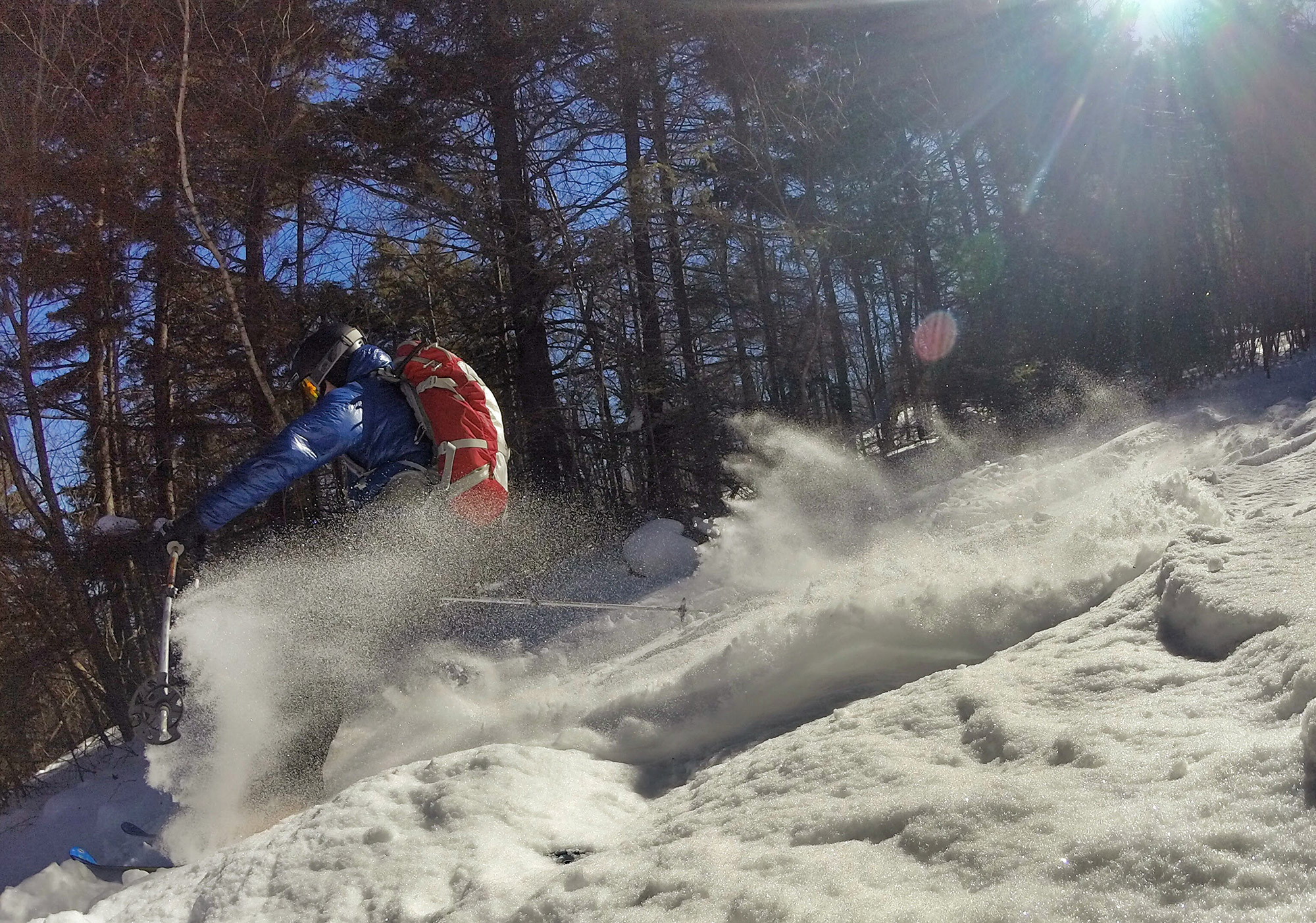
The lower mountain’s three distinct runs (Wapack, Cascade, and Little Dipper) remain in their historic locations. They are easy to find from the road and tend to be more open and lower angle than the upper mountain trails, making them perfect for newer backcountry skiers and a pleasant reprieve from dodging trees (and the occasional rock) up top. Moreover, frequently windy conditions near the top of the mountain can often leave it scoured, but great snow can be found down low with powder pockets deposited generously across Watatic’s lower slopes.
The first trail that skiers descending the road see is Wapack. Dropping off the road just after it makes a sharp bend, Wapack is a tight chute, with interspersed mini-glades, that runs to the base area. It is the longest and most challenging of the lower three runs.
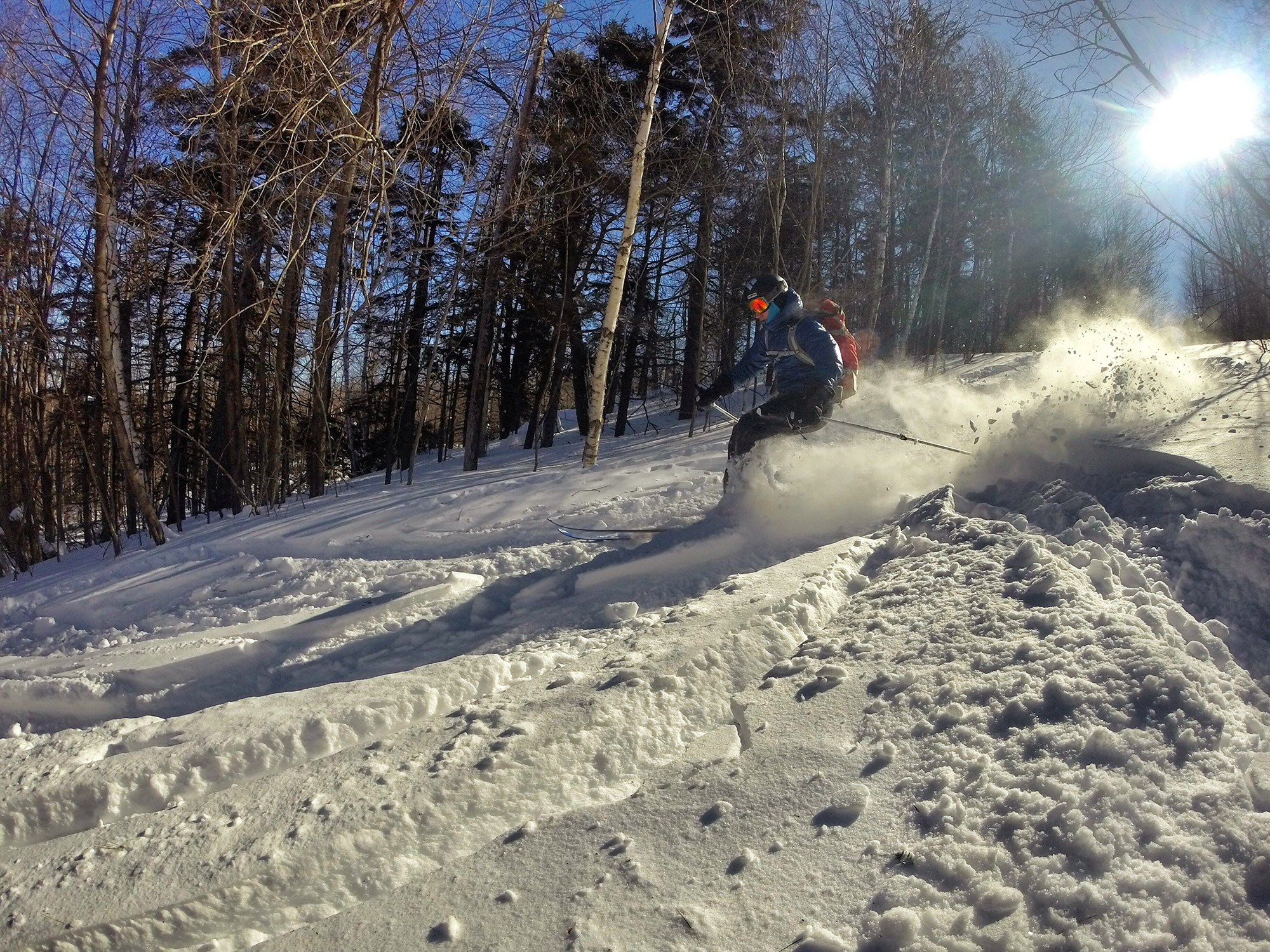
The drop in for Cascade is a short distance further down, just before the one steep section on the road. Although once fairly tight due to regrowth, Cascade was, and is again, the widest run on the mountain and offers fun skiing on moderate terrain.
At the bottom of the road’s decline, skiers can take a sharp left onto Little Dipper. Although not as wide as Cascade, it is the lowest angle of the three runs and is pleasant, easy skiing, especially near the bottom.
The Base Area
All of the lower slope’s runs deposit into a large open area at the base of Mount Watatic, which makes it easy to regroup between laps. This area also gets a considerable amount of sun, allowing for comfortable conditions to refuel and transition between downhill and uphill skiing.
Have you skied Mount Watic either under your own power or when it was still operational? If so, tell us about your experience in the comments below!
Related Posts


