

Thanks to iconic routes like Franconia Ridge, two easily accessible huts, and some of New Hampshire’s most spectacular scenery, Franconia Notch has long been a popular destination for hikers and backpackers. Surging interest in the area has resulted in more cars at the Lafayette Place parking lot than available parking spaces, in turn causing visitors to park on the side of the highway. While parking along the highway has long been illegal, it hasn’t been enforced until this year, with signs, ropes, and cones prohibiting it along both the north and southbound sides. Using the hiker shuttle running between the lots in Franconia Notch is one solution for folks who can’t access their desired trailhead. Here’s another: Avoid the trailheads that start at Lafayette Place altogether and instead hike these super-popular summits via one of the lesser-known trails listed below.
Skookumchuck Trail to Mount Lafayette
Checking all the boxes, the Skookumchuck Trail to the Garfield Ridge Trail to the summit of Mount Lafayette delivers fantastic scenery and minimal crowds while avoiding the hustle and bustle of Lafayette Place.
Leaving north of the notch on Route 3 from the Skookumchuck Trailhead, the Skookumchuck Trail and Garfield Ridge Trail combine to deliver a just-over-10-mile round trip to the 5,260-foot summit of Mount Lafayette, the highest New Hampshire summit outside the Presidential Range. Though slightly longer than the classic Franconia Ridge Traverse, more secure footing and straightforward hiking make this trip quicker, as there aren’t slippery sections of trail like portions of the Falling Waters Trail or disconcerting slabs like on the Old Bridle Path.
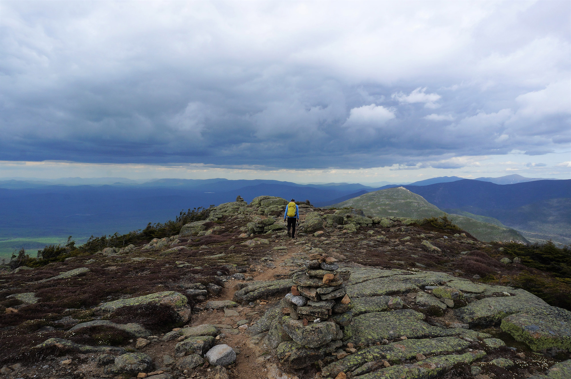
Hugging the Skookumchuck Brook for the first few miles, you won’t confuse the sound of the stream for the powerful waterfalls of the Falling Water Trail; however, skookumchuckis a Chinook word that translates to “strong water” or “healthy water.” After leaving the brook, the Skookumchuck Trail climbs steadily through the forest, eventually giving way to low scrub before finally joining the Garfield Ridge Trail above treeline. From here, take in the view of the first crowds you’ve most likely seen all day on Lafayette’s summit a little under a mile away (and moving up and down the Greenleaf Trail to and from the AMC’s Greenleaf Hut).
From the junction with the Garfield Ridge Trail, the path is a gorgeous above-treeline ridge that rivals its counterpart on the other side of Lafayette in beauty but not in the number of hikers. And like its more popular counterpart between Little Haystack (a non-counting 4,000-footer) and Mount Lafayette, this section of trail also crosses a non-counting 4,000-footer, North Lafayette (5,260). Although North Lafayette isn’t one of the New Hampshire 48, its view is equal to any peak in Franconia Notch and is a great place to stop and take a break away from the bustle of Lafayette’s main summit.
From the summit of Mount Lafayette, simply turn around and descend the 3,500 feet of elevation you just climbed.
Mount Kinsman Trail to North and South Kinsman
The common route to the summits of North and South Kinsman is via the Lafayette Place parking lot and past the AMC’s Lonesome Lake Hut. However, an easy way to beat the parking ban—and the crowds—is to hike the mountains from the opposite side via the Mount Kinsman Trail to the Kinsman Ridge Trail.
Located off of Route 116 in Easton, New Hampshire, is the small, wooded parking lot for the Kinsman Ridge Trail. Providing a starkly different experience than the flurry of activity often found on Kinsman Ridge, this route remains quiet as hikers begin the approximately 10-mile out-and-back trip gaining roughly 4,000 feet in elevation and ticking the summits of two 4,000-footers: North and South Kinsman.
The silence of the forest is palpable as hikers on the Mount Kinsman Trail follow its blue blazes past small waterfalls and over slight streams—especially when compared to an ascent of the Kinsmans from Franconia Notch, where the first mile of the trail is shared by hikers destined for Cannon Mountain and Lonesome Lake. Sure, Lonesome Lake and Kinsman Pond are beautiful, but they’re likely to be crowded on most weekends. By contrast, hikers willing to make a roughly 0.25-mile detour off the Mount Kinsman Trail are treated to an additional summit and a fantastic view on 2,470-foot Bald Peak.
Before reaching the summits of the Kinsmans, you’ll join the throngs of other hikers on the Kinsman Ridge Trail, almost all of whom approached the mountains from the Franconia side. From the junction, follow the Kinsman Ridge Trail for roughly a half mile to the summit of North Peak, then for another mile to the expansive summit and astounding view afforded from South Kinsman.
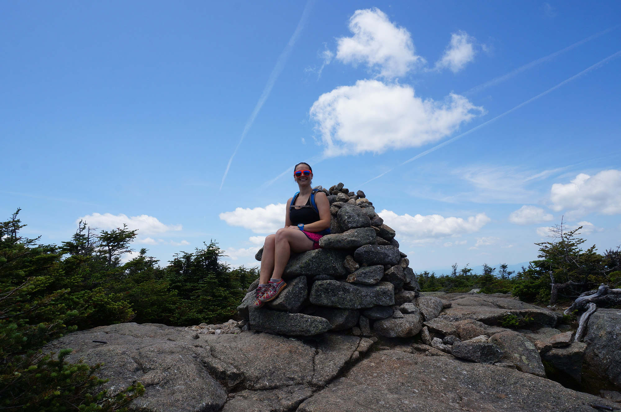
Take in the vast view of Franconia Ridge across the notch, pose for a picture in the throne-shaped cairn marking the summit, and think back to the peaceful moments on Bald Peak before returning the way you came.
Cannon Mountain via Kinsman Ridge Trail
It’s silly to stash your car at Cannon Mountain’s overflow lot only to take a shuttle to hike Cannon via the popular Hi-Cannon Trail. Instead, try the Kinsman Ridge Trail, which leaves from a hiker lot attached to the large parking lot for the Aerial Tramway and avoids the busier parts of the notch.
Not unlike the Hi-Cannon Trail in Franconia Notch, the Kinsman Ridge Trail is a lung and leg burner—the trail climbs just under 2,500 feet over roughly two miles. Thanks to the directness of the trail, and short 4(ish)-mile round trip, hikers comfortable with the at-times-near-vertical terrain are afforded a quick ascent and descent.
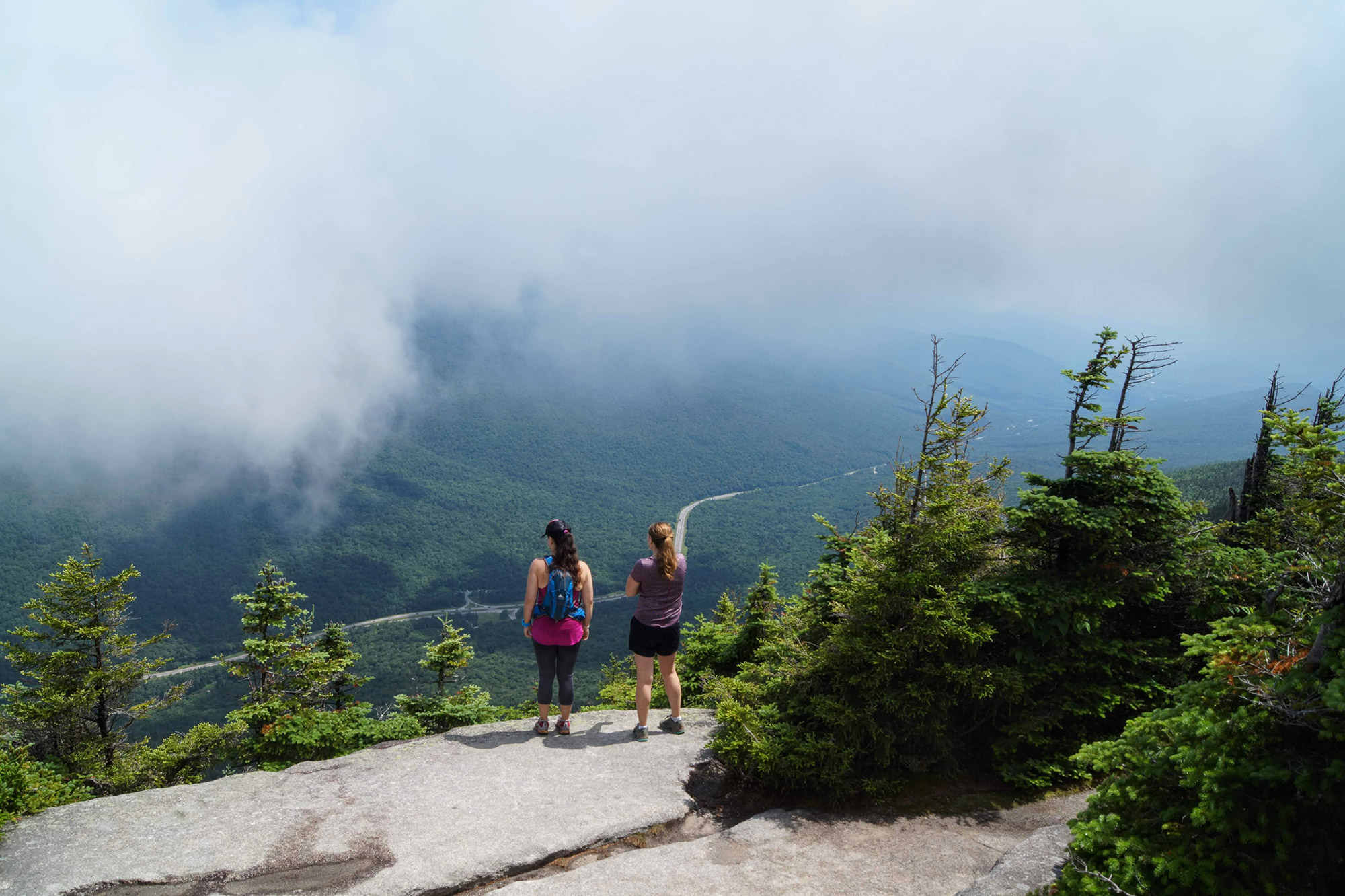
Running roughly adjacent to the tramway, it’s not uncommon to spy a yellow or red cable car high overhead whisking visitors to the summit. Roughly a half mile from Cannon’s summit, hikers are treated to the terrain the mountain is notorious for—ledgey, rocky, slabby, and treacherous—as the Kinsman Ridge Trail nears a side trail with access to some ledges. If you explore it, don’t let the stunning view of Franconia Ridge lull you into complacency; a misstep here would be unfortunate.
Signs of civilization become more apparent as you approach the top of Cannon Mountain. Here you’ll encounter hikers lounging and scrambling around the slabs and ledges dotting the mountain’s summit along with numerous tourists transported here via the aerial tram. Fight the crowds and climb the lookout tower for one of the finest views in the White Mountains before seeking solitude on the slabs below.
After resting on the summit, return the way you came or splurge for a ride down via the tram.
Do you have a trick for avoiding the crowded parking lots of Franconia Notch? If so, we want to hear it! Leave your tip in the comments below.
Related Posts


