

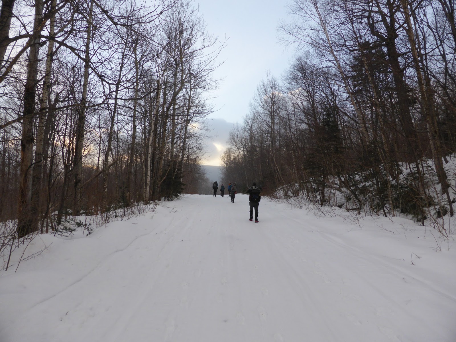
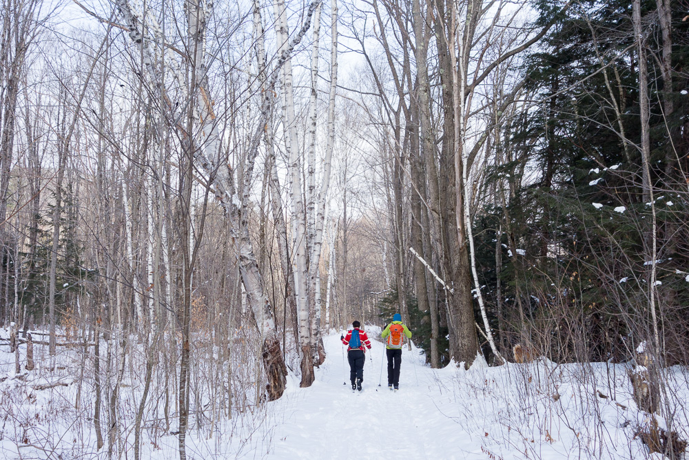
Climbing all of the Northeast’s 115 4,000-footers is a serious challenge on its own, even for the region’s most experienced hikers. But, how can you take it to the extreme? Simple: Do them all in winter. Joining that elite (and very short) list of hardy hikers requires a special skill set, gear closet, and determination that many lack. Depending on the weather, trail conditions, and other factors, any of these peaks can be perilous to climb in winter. So, here are a few of the biggest challenges, and some tips to make it to the top.
Katahdin
Baxter State Park, Maine
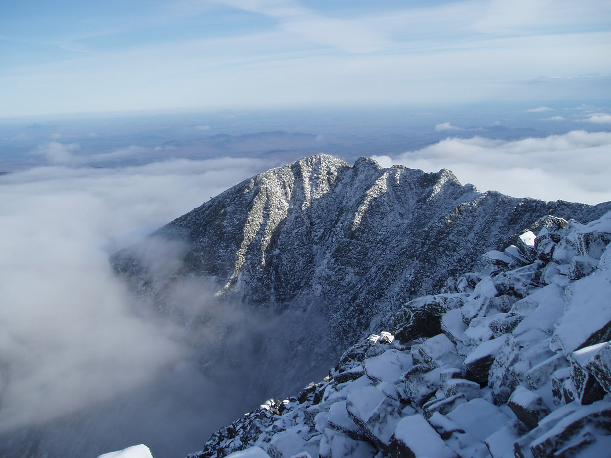
Katahdin is a steep granite cirque in Maine’s Baxter State Park that includes a few different summits, the highest of which is Baxter Peak. Tagging Maine’s highest peak in winter means slogging through a grueling two-day, 13-mile approach across the park’s closed access roads (typically with expedition sleds) to Roaring Brook, and then another 3.3 miles uphill to Chimney Pond. Be prepared for consistent sub-zero temperatures and frequent avalanche danger.
To increase your chance of success, plan early to obtain reservations at the bunkhouses in Roaring Brook and Chimney Pond, rather than tenting. Have a strong group, and give yourself enough time in the park to wait for a favorable weather window to attack the summit. Use the Saddle Trail or the more challenging Cathedral Trail to ascend from Chimney Pond. If your endurance and the weather allow you to summit, you will reach one of the East Coast’s most beautiful mountains.
Mount Redington
Carrabassett Valley, Maine
Home to one of the least-traveled of the Northeast’s unmarked trails, Redington is a difficult enough climb in the summer. While not especially challenging in terms of bushwhacking, reaching the summit involves a few key unmarked turns and forks on old logging roads. In the winter, you should bring a GPS or a friend who has climbed it before.
The closure of Caribou Valley Road to cars in winter means you should either ski to the crossing of the Appalachian Trail or start where the AT meets Route 16. Either way, you will travel the AT to South Crocker Mountain before beginning the 1.2-mile unmarked trek off the AT to Redington’s summit. Read the stretch’s description carefully in the AMC’s Maine Mountain Guide. To make sure you have arrived, look for an old white canister strapped to a tree on the summit.
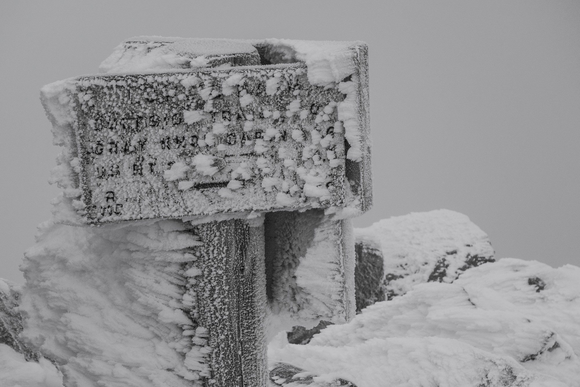
Mount Adams
White Mountains, New Hampshire
While Mount Washington is the King of the Presidential Range and home to some of the nation’s worst weather, its neighbor to the north, Mount Adams, is another worthy challenge. And, in winter, climbing the exposed summit requires the same precautions and gear. You will ascend nearly 4,500 feet, with almost 1,000 feet of that above treeline. Climb the steeper Air Line Trail from the AT in order to take in the majestic views of King Ravine. Then, descend using the easier Valley Way Trail.
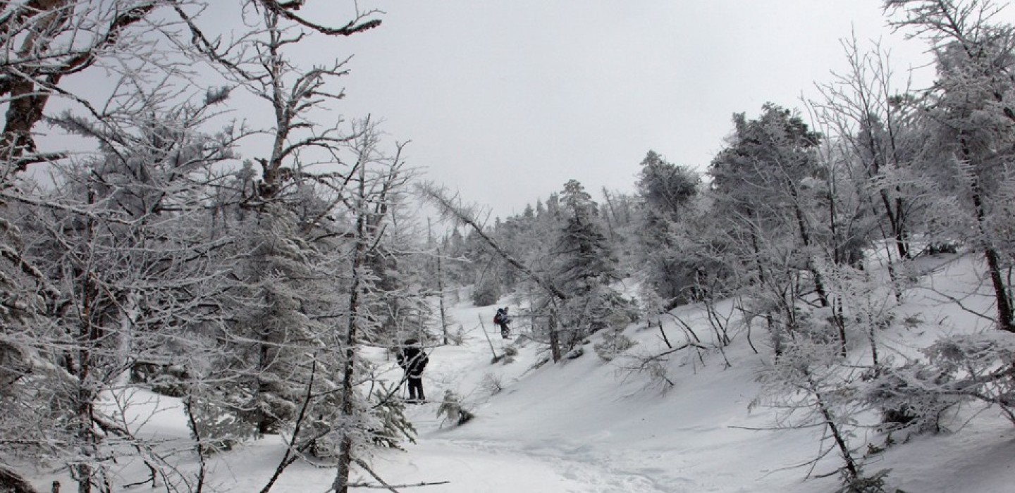
Owl’s Head Mountain
White Mountains, New Hampshire
A trip to this peak involves over 18 miles of travel. This trek may include sometimes-dangerous water crossings, unmarked bushwhack approaches, and a slide climb, so make sure river conditions are good and you’re comfortable on steep and icy terrain. Many prefer to utilize the Black Pond bushwhack route on their approach. Be sure to proceed the additional 0.2 miles north from the old summit clearing to the new summit proper to make it official.
The one saving grace here is the flat and very well maintained (but rather boring) 2.6-mile section of the Lincoln Woods Trail. You’ll pass through when you start and finish your journey from the trailhead at the Lincoln Woods Visitor Information Center. Overall, Owl’s Head has a very remote wilderness feel to it that makes the long day worthwhile.
Allen Mountain
Adirondack Mountains, New York
Allen offers a little bit of everything. There are several river crossings, winding meadows, woods climbing opportunities, and a steep slide climb finale. Due to its roughly 18-mile round-trip distance, it’s sometimes confusing to approach. As well, because of the deep snow often faced on Allen Brook’s final, very steep slabs, this one can be challenging. Luckily, the DEC recently replaced a long-destroyed bridge over the Opalescent River, alleviating a fording concern.
In addition, the state purchased new lands surrounding the peak. So, future hikers should stay tuned to new routes potentially opening up. For now, start at a trailhead located a mile from the end of Upper Works Road, off Tahawus Road. Follow the trail to Flowed Lands via Hanging Spear Falls for just under four miles. Soon, break right onto the unmarked but well-traveled and obvious herd path to the base of the slide and straight up to the summit ridge. Enjoy the beautiful views of Panther Gorge and the High Peaks to the north from a lookout located just beyond the formal summit.
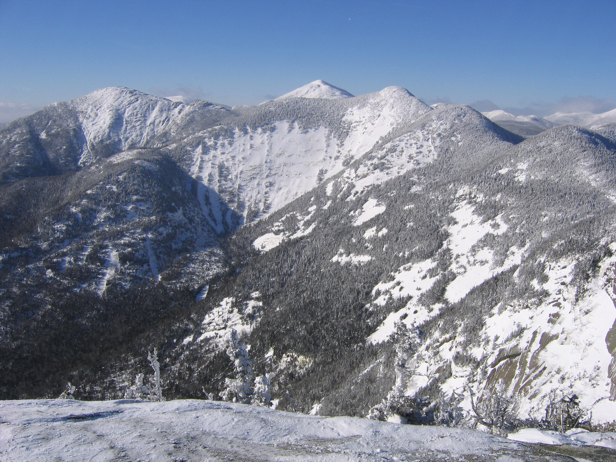
Seward Range
Adirondack Mountains, New York
Any time of the year, the Sewards are a challenging hike, but the closure of Corey’s Road adds 3.5 miles each way. Depending on conditions, consider skiing this long stretch in and out. Added to this are the Western Adirondacks’ deep snows and some sparsely marked trails, and these peaks, as a result, become a major challenge. You should plan an early start, use the Calkins Brook approach, and be sure to research the route.
The Calkins Brook approach will bring you to the ridge near Mount Donaldson. This path allows you to “T” the ridge, tagging Emmons to the right (south), and Seward to the left (north). The range’s isolation and remoteness have a wonderful feel in winter, but their rewards demand a long day of effort. Unless you are exceptionally fit or planning an overnight, avoid the temptation to add nearby Seymour Mountain.
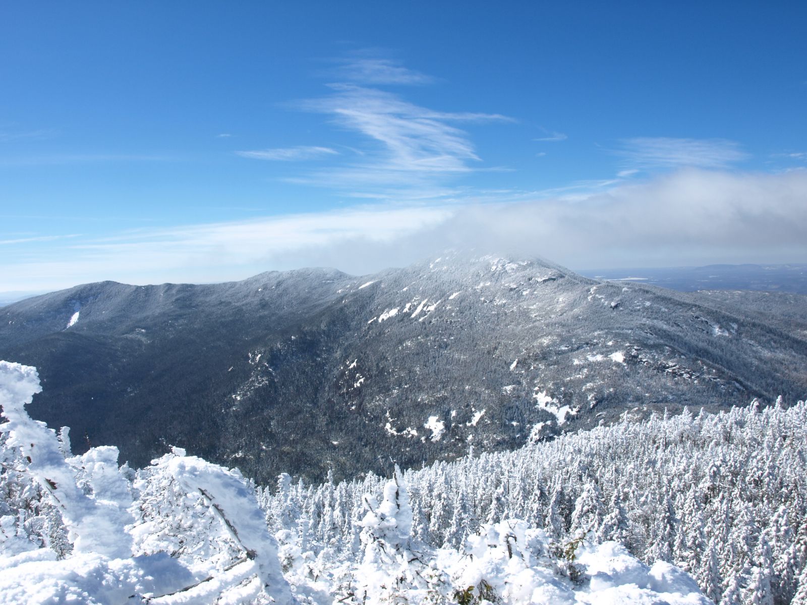
Basin Mountain
Adirondacks, New York
Basin lies deep in the Eastern High Peaks’ Great Range. This means there are only a few ways up, and all involve long approaches and very rugged terrain. In addition, several steep ledges, frozen ladders, and frequent ice bulges make this trek particularly difficult in winter. As with many of these peaks, it’s valuable to carry a general mountaineering ice axe to assist with some tricky sections.
For a greater challenge, consider adding Saddleback Mountain to create a larger loop hike. Or, for the expert HaBaSa route, include Haystack within your itinerary. Be aware, though, that this will add obstacles to an already-difficult trek up Basin Mountain: for instance, Saddleback’s cliffs and Little Haystack’s icy ledges. Typically, an approach starts from the Garden Trailhead, travels past Johns Brook Lodge, and then climbs past Slant Rock, and on up the Great Range Trail. If the skies are clear, some wonderful views of the likely-more-crowded Mount Haystack and Mount Marcy, along with many other High Peaks, are yours for the taking.
Do you have another peak that you think is even harder? Let us know in the comments!
Related Posts


