

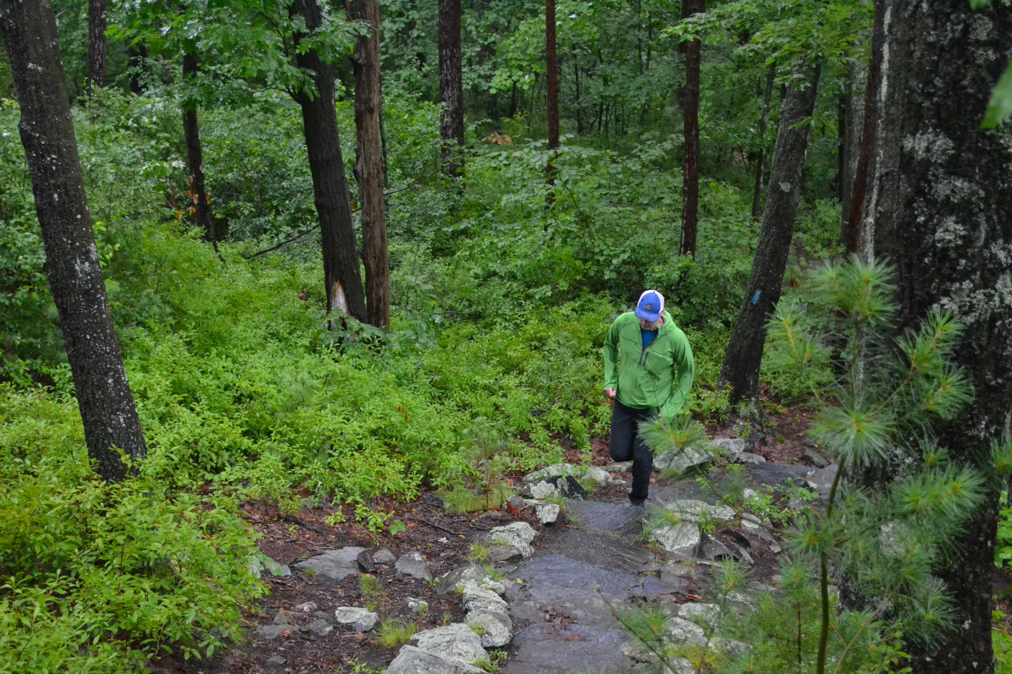
The Blue Hill 22 starts moderately: a short ascent of a herd path from Wampatuck Road up Rattlesnake Hill, an easy jog along fire roads to another herd path that ascends Great Dome, and then another quick jaunt along a trail over to a third herd path, this one up Little Dome. In just a few easy miles, you’ve picked off the first three summits of the Blue Hill 22, a trail run (or hike) that links the 22 named summits in the Blue Hills Reservation. Runners completing the Blue Hill 22 cross the reservation in about 15 up-and-down miles, a traverse that just happens to repeatedly intersect with the broad arc of the American experience in Massachusetts.
Indigenous Roots to Modern Structures
According to some, the name for the Commonwealth of Massachusetts comes from the Blue Hills. It’s derived from the name of one of the tribes indigenous to eastern Massachusetts prior to the colonial period (Massawachusett), which means either “at the great hill” or “the place of many great hills.” Runners on the Blue Hill 22 get their first taste of these “many great hills” as they ascend the steep northern flank of Fox Hill, the fourth hill of the traverse. Overflowing with blueberry and huckleberry bushes, the summit of Fox—a nondescript rock outcrop beside the trail—is a tempting place to stop, especially if the berries are in season.
After dropping off Fox, runners cruise along the Skyline Trail, stringing together a spine of five rugged hills that climb progressively higher. Four of the five—Wampatuck, Nahanton, Kitchamakin, and Chickatawbut—recognize some of the Massachusetts’ tribe’s most prominent sachems during the colonial era; the fifth, Fenno Hill, recognizes a long-ago landowner. The third-highest peak of the entire traverse, Chickatawbut, arrives quickly after Fenno, and it is in this general vicinity that Chickatawbut and his followers made their winter base, with their summer base a few miles away on the Quincy shore.
Runners atop Chickatawbut will have a view of the ocean from the peak; however, they’ll also realize that the hilltop is much different now than it was almost 400 years ago. Today, a fenced-in Mass Audubon facility occupies the summit, using buildings that were part of the United States’ command center for a nearby launch site for Nike Ajax surface-to-air defense missiles during the height of the Cold War in the 1950s and 1960s.
A Revolutionary Run
Connecting to the next hill—Hawk Hill—requires descending the Skyline Trail on the southwest side of Chickatawbut and linking with the Braintree Pass Path. A pleasant jog here along fire roads, the historically curious can take a brief detour toward Old Glover’s Place—the overgrown 19th century stone foundations of an old farmhouse and outbuildings on both sides of the trail near junction 3155. With a little imagination, it’s easy to visualize Glover’s house and, based on the tree-growth pattern in a nearby leveled area, his barn. Then it’s just a short jog back toward Bouncing Brook Path to join the connecting path that ascends Hawk Hill. After a short steep up a slabby feels-like-third-class rock face, there’s an excellent view of Buck Hill, the hill you’ll be heading to as soon as you finish climbing Hawk, descend off it, and cross Route 28.
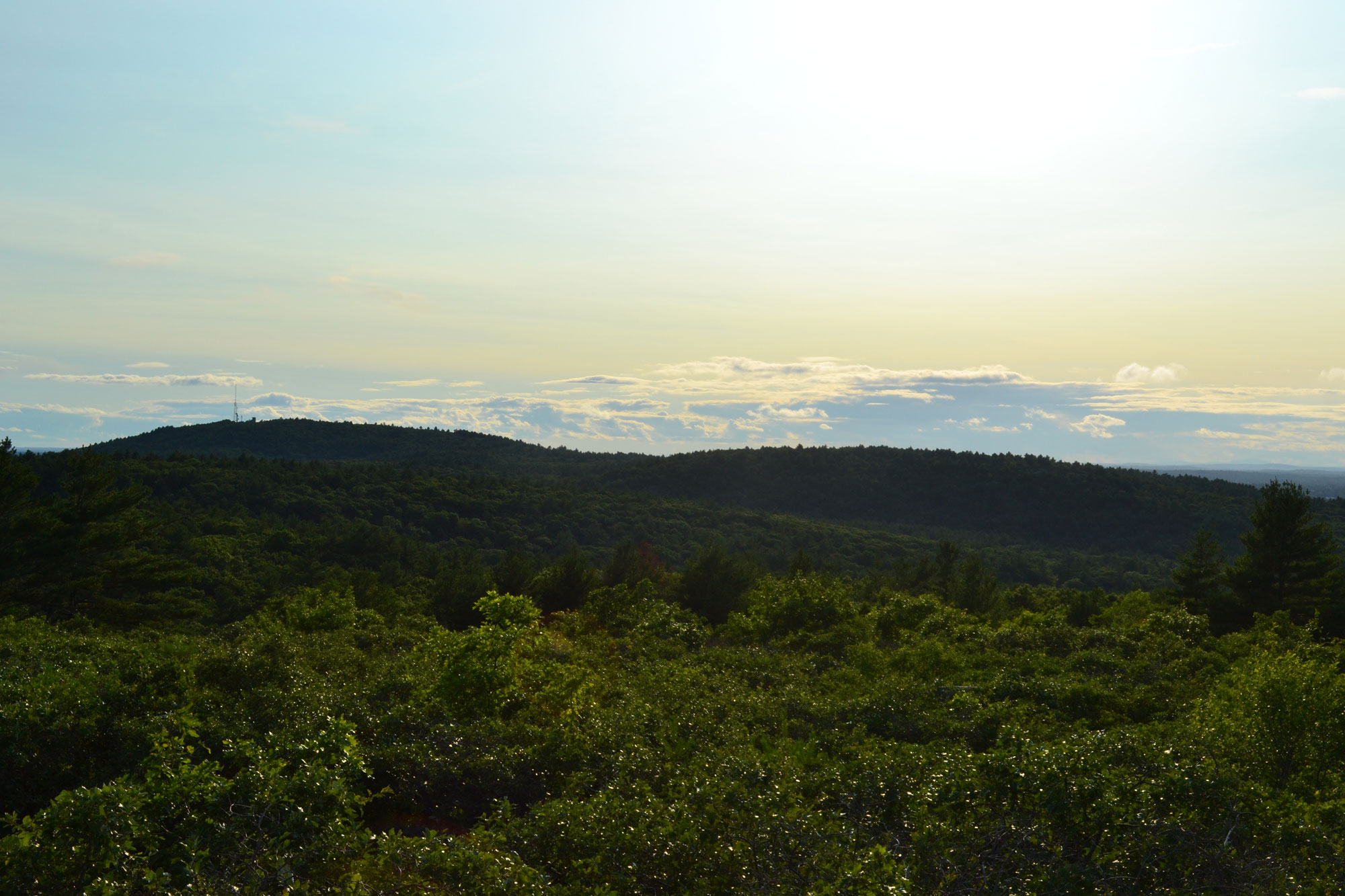
Getting across Route 28, the busiest road in the reservation, is among the most challenging parts of the Blue Hill 22—which is saying something, given the surprisingly rugged terrain, the traverse’s 3,000+ feet of elevation gain, and the Eastern Timber rattlesnakes you might see if you get incredibly lucky. Once you’ve made it, power up Buck Hill to the beautiful open summit. The 360° views of Boston, Boston Harbor, and the surrounding communities are so spectacular that it’s no wonder colonists during the Revolutionary period used these hills to scout for incoming British frigates. It’s also an excellent vantage point for scoping the 11 hills you’ve run so far and the 11 more that lay ahead.
After Buck, runners rattle off a series of small hills in quick succession: North Boyce, South Boyce, and Burnt Hill, with the latter two requiring some brief moments of off-trail navigation to find the “true,” albeit unmarked, summits. Then it’s a short-but-steep ascent of Tucker Hill, followed by a jaunt down to Breeze Hill, which barely feels like a bump when descending from Tucker and heading past Houghton’s Pond toward Houghton Hill.
From Revolution to Reservation
Hancock Hill, the second-highest hill in the range, looms next. John Hancock was among the most well-known Bostonians of the colonial era due, in part, to the prominence of his signature on the Declaration of Independence. This hill likely bears his name because it was once his orchard and woodlot. Although runners today will find many trees on Hancock Hill, the species composition has changed significantly over just the last 100 years. Notes from the park’s original surveyors, working under Fredrick Law Olmstead, Charles Eliot, and the Commonwealth’s Metropolitan District Commission, describe Hancock’s flanks as abounding with chestnut trees; today there are none.
After Hancock, hop back on the Skyline Trail for Hemenway and Wolcott, which follow quickly. Consisting of short ups followed by steep downs, these two hills are named after benefactors who gave land to the fledgling park. They are a great reminder of how ownership of the land compromising the reservation has evolved, changing from tribal to private during the early colonial period and then becoming communal again during the birth of the reservation during the late 1800s and early 1900s.
Big Blue
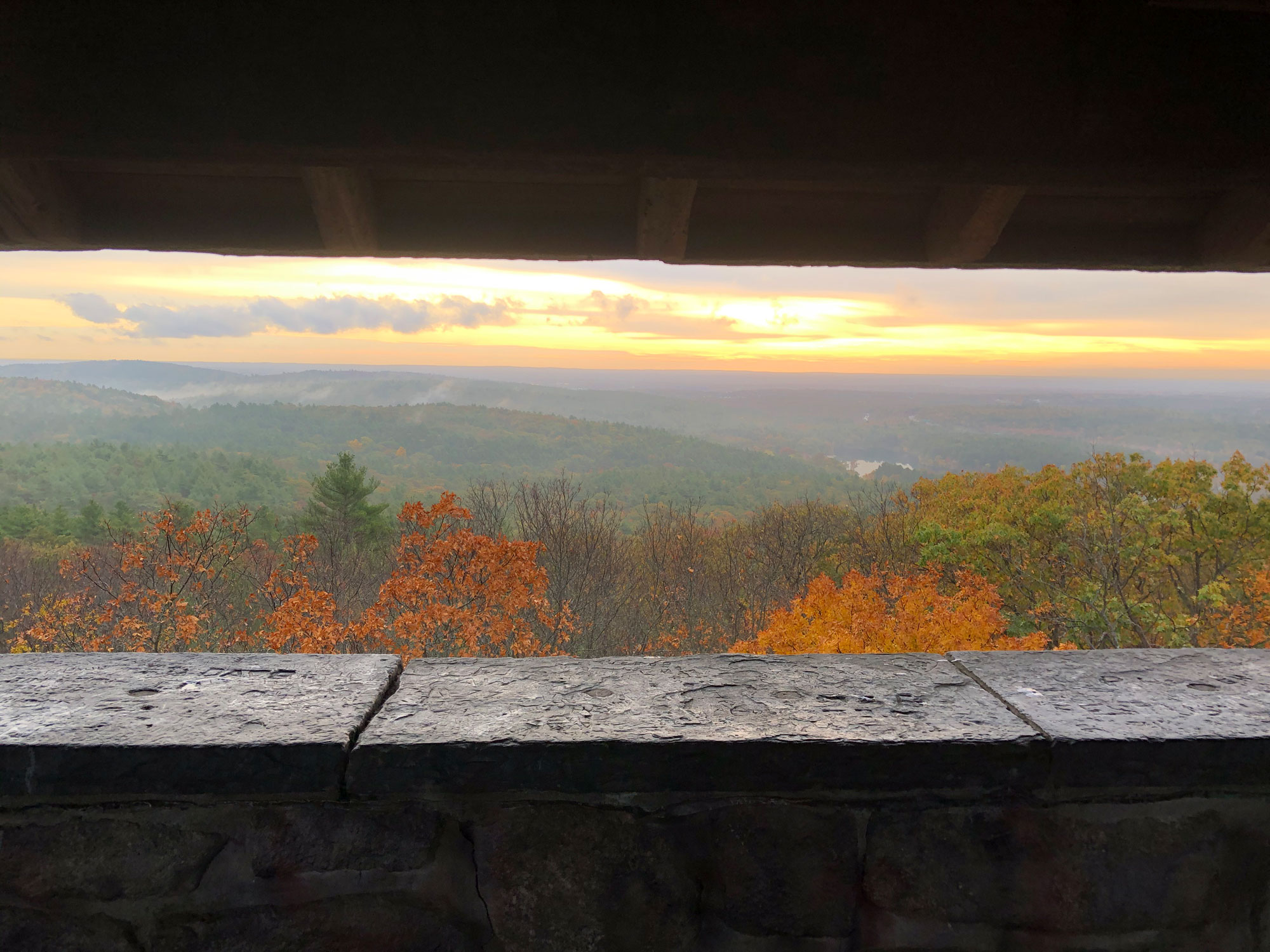
The last true ascent of the run follows. Standing 635 feet tall, Great Blue Hill is the tallest point within 10 miles of the Atlantic Coast, south of Maine. As you near the top, keep an eye out for Eliot Tower. The Civilian Conservation Corps built it in the 1930s as part of their extensive trail and road work in the reservation.
After you’ve found the true summit (hint: it’s near the Blue Hill Meteorological Observatory), head downhill and west toward Little Blue Hill, the final summit of the traverse. While the fastest-known-timers will probably just shoot down the ski slope, the historically inclined should descend via the Abigail Adams Trail. Adams often wrote fondly of spending time in the Blue Hills while her husband, John Adams, was away performing his Presidential duties.
At this point, finishing the Blue Hill 22 is easy enough—it’s just a short run up Little Blue Hill to an open plateau with an excellent view back at Great Blue Hill.
Related Posts


