

Beginning at the mouth of the Merrimack River in Newburyport and running south to Kingston Bay in Duxbury, the Bay Circuit Trail (BCT) is a 230-mile greenbelt running around the periphery of Greater Boston. Massachusetts’ newest long-distance trail, the Bay Circuit Trail uses backroads and byways to link together the many parks, forests, and green spaces in the region to create a wonderful, close-to-home recreation opportunity for the millions of people in the region. Perfect for walking, mountain biking, cross-country skiing, and snowshoeing, the Bay Circuit is highly accessible and easy to segment. There are many awesome destinations on the Bay Circuit Trail, but here we’ll highlight five on the trail’s southern half to whet your appetite!
1. Rocky Narrows Reservation & Sherborn Town Forest
Rocky Narrows Reservation, near the BCT’s mid-point, is a fantastic destination for easy, year-round day recreation, especially for those with an interest in history. Known as the “Gates of the Charles” in the Colonial Era, the reservation occupies what was once a strategically important passage on the Charles River. Here, the Charles River makes a large horseshoe as it bends along the borders of Sherborn and Medfield, and hikers can observe the horseshoe from two different overlooks along the Bay Circuit Trail.
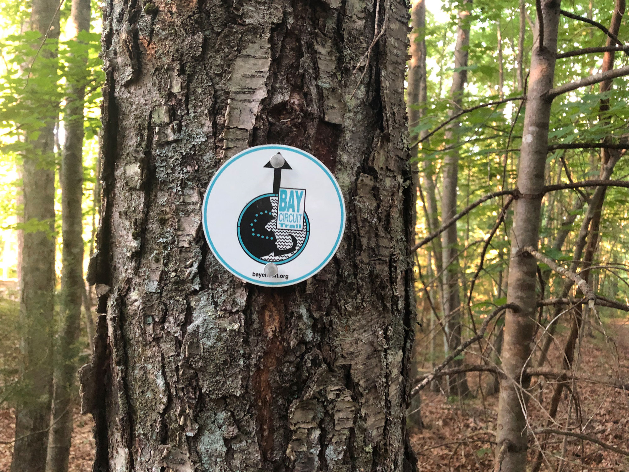
The BCT enters the reservation from a parking lot on Forest Street in Sherborn. From here, hikers can follow the Bay Circuit’s blazes (sometimes logos, sometimes white rectangles) first through a pleasant meadow, then into woodlands and wetlands as the trail makes its way toward the first of the two overlooks, Rocky Narrows Overlook.
The trail then bends with the river, entering the Sherborn Town Forest. Soon, hikers approach King Phillip’s Overlook, a height of land which has another stellar view of the Charles River and surrounding area, a view that is much different today than it was in the late 1600s when the area last had strategic prominence. From this second overlook, the Bay Circuit Trail weaves back toward Forest Street, eventually reaching the street about 0.25 miles away from the Forest Street lot. For a total hike of just over three miles, hikers can easily reconnect with the lot by leaving the BCT and following the Red Trail (map) a short distance.
Rocky Narrows Reservation’s historical significance is not limited to its strategic prominence during King Phillip’s War in the 1670s. It is also significant because it was one of the Trustees of the Reservations’ earliest reservations, with 21 acres donated in 1897 as part of the broader conservation movement in the region. Since then, additional acreage has been donated, to create what is now a 274-acre green space adjoining the Sherborn Town Forest and, across the Charles, the Medfield State Forest.
2. Moose Hill Wildlife Sanctuary
While making its way through the town of Sharon, the Bay Circuit Trail takes an extended tour through yet another Greater Boston gem: the Moose Hill Wildlife Sanctuary. As it does so, the BCT passes many of the sanctuary’s highlights, including Allen’s Ledge, with its excellent overlook of the surrounding area; a gigantic stone cistern on the Bluff Trail near its junction with the Old Pasture Trail; and the mature, open pine forest on the backside of Hobbs Hill.
Those making a day trip to Moose Hill should start from the sanctuary’s nature center at the junction of Moose Hill and Upland Roads. Centrally located between the sanctuary’s most popular features, it is easy to pick up the BCT here. Those who follow the BCT north will be rewarded with a short climb up Moose Hill, followed by a pleasant amble along the Old Pasture Trail. At the junction with the Bluff Trail, hikers looking for a shorter day can easily loop back to the nature center (map), while those looking for a longer outing can continue on the BCT toward Allen’s Ledge before looping their way back on any of the many available trails.
For those looking for a road less traveled, following the BCT south from the nature center presents a nice alternative. Here the BCT drops gradually through dense forest into some sections of mixed woodland and wetland. It then begins ascending Hobbs Hill, looping around to a fine open forest on the hill’s backside. While the BCT departs the sanctuary on the backside of Hobbs Hill, hikers can continue counterclockwise on Hobbs Hill Loop, rejoining the BCT and either retracing their footsteps north or, for added variety, following the Kettle and Vernal Pool Trails back to the nature center instead.
3. Borderland State Park
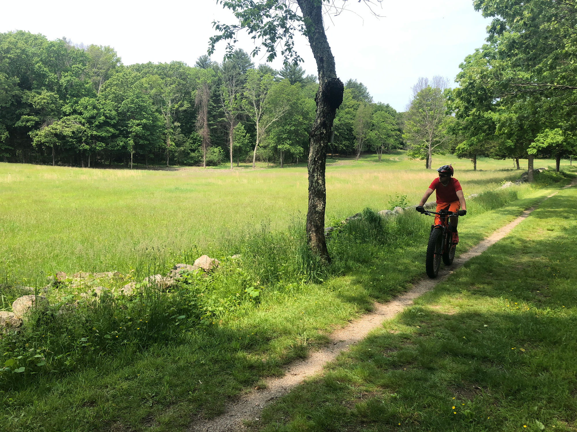
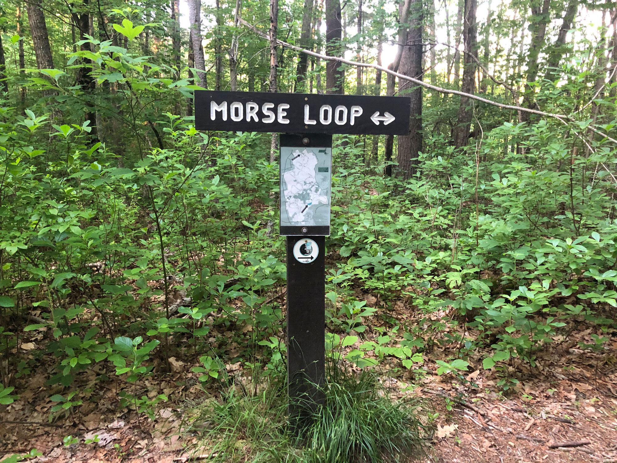
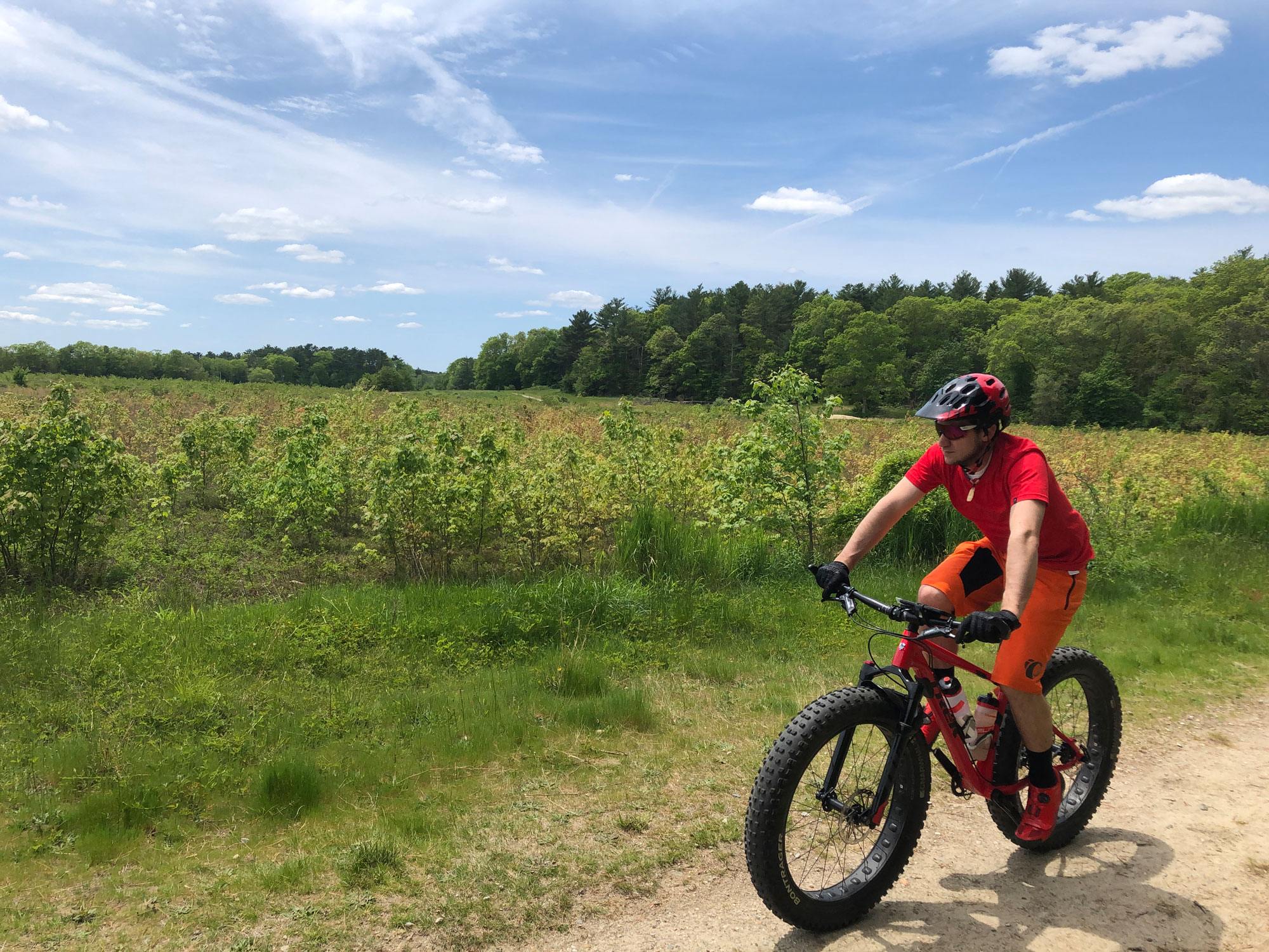
As the Bay Circuit Trail meanders through Sharon and Easton, it travels through about four miles of Borderland State Park. The BCT enters Borderland on the Morse Loop Trail, located near the park’s northern boundary. It then follows a series of trails (Ridge Trail to Northwest Trail to French Trail to West Side Trail to Pond Walk Trail) for about three miles, as it makes its way to Borderland’s main entrance and parking lot. Here, hikers will find a visitor center and a disc golf course. Nearby is the Ames Mansion, a three-story manor built in the early 1900s by the family who acquired and conserved much of the land that is now part of the state park.
For hikers visiting Borderland for the first time, the main entrance (located off Masspoag Avenue in Sharon) is a good jumping-off point—in addition to the visitor center, you’ll find restrooms, a picnic area, and access points to most of the park’s trails. The park itself is easy to navigate, and its 20+ miles of hiking trails offer something for everybody, ranging in difficulty from moderate strolls on old farm roads to rocky single-track hiking paths. Meanwhile, Borderland is one of several mountain biking gems on Boston’s South Shore.
From the manicured fields in front of the Ames Mansion and the pleasant fire roads looping around the park’s several ponds to the gnarly single-track sections of the NEMBA Trail, Borderland also has a diversity of landscapes. As you negotiate your way between them, be on the lookout for the area’s abundant waterfowl, birds, and wildlife.
4. Alton J. Smith Reserve
The Alton J. Smith Reserve is a 103-acre retired cranberry bog in the town of Hanson that is currently being converted back to its natural state (i.e., a forested wetland environment). The Bay Circuit Trail passes through the reserve on a section of path known as the Mattakeesett Path, named after the Mattakeeset band of the Massachuseuk Native American tribe who lived in the region for thousands of years before European contact. Although the BCT passes through the reserve only briefly, the area’s network of wide, flat dirt trails makes for wonderful hiking and is definitely worth an extended visit.
Located between Indian Head and Maquan Ponds, the main access points for the Alton J. Smith Reserve are the Marcus L. Urann Fisherman’s Landing off of Route 58 and on Camp Kiwanee Road behind the stone gatehouse. From either location, it’s easy to stroll along the old bog’s mellow trails, pausing when appropriate for numerous opportunities to spot the area’s abundant wildlife—Great Blue Heron, Green Heron, Kingfisher, hawks, Eastern Bluebird, many kinds of ducks, and mink are all known to frequent the area.
5. Callahan State Park
As the Bay Circuit Trail makes its way through Framingham and Marlborough, it weaves for several miles through Callahan State Park. At over 900 acres, Callahan is one of the largest parks in the region and is a favorite of everyone from hikers to bikers to dog walkers. In fact, Callahan is often considered one of the most dog-friendly parks in Massachusetts (more than 85% of the park’s visitors are people with dogs), making it a great choice if you’re looking to have your floofy hiking buddy join you on the BCT. Dogs are allowed to run off-leash on a preponderance of the park’s trails.
Callahan State Park is divided into two distinct areas (the BCT winds through both): the north section and the south section, which are split by Edmands Road. The north end of the park is known for its more rugged and hillier terrain which is favored by bikers, while the south side is home to flatter, wider, and more manicured trails along with Eagle Pond and one of the largest unfenced dog parks in the area.
The Bay Circuit Trail covers a wide variety of Callahan State Park’s diverse terrain and takes visitors past quiet ponds, across fields, alongside forgotten stone walls, and through quiet forests. The BCT is well defined and uses its own markers, however, the trails the BCT follows go by their own name. Following the BCT from north to south through the park takes you along Bear Paw Trail, Pine Tree Trail, and Backpacker Trail before crossing Edmands Road and connecting with Red Tail Trail to Wren Trail to Pipeline Trail.
If you have a favorite place along the southern half of the Bay Circuit Trail, we want to know about it! Tell us in the comments below.
Related Posts


