Not for the faint of heart, the Catskills’ most notorious trail is rugged, wild, and just as challenging as it is rewarding.
Point blank, the Devil’s Path is hard. In its 25 miles, this hike gains over 8,500 feet in elevation while running over some of the roughest terrain in the Northeast. The five Catskill high peaks it traverses—Indian Head, Twin, Sugarloaf, Plateau, and West Kill Mountains—are separated by dramatically steep descents into low notches, requiring hikers to scramble and even downclimb in some spots. The kind of loose rock that makes your ankles hurt just looking at it is seemingly everywhere and, depending on the season, water sources can be few and far between. The challenges this hike presents are unrelenting.
The reward, however, is apparent in the abundant, fantastic viewpoints and the wild vibe of the trail. For being just two hours from New York City, this hike feels a lot more remote than it actually is.
Quick Facts
Distance: 25 miles, thru-hike
Time to Complete: 1-3 days
Difficulty: ★★★★★
Scenery:★★★★
Fees/Permits: None
Contact: https://www.dec.ny.gov/lands/7984.html
Turn-By-Turn
The Devil’s Path is often thought of as two halves, east and west, with its midpoint being the intersection with NY-214 at Stony Clove Notch. Truth is, once you hit Stony Clove Notch (hiking westbound) you’ve done the bulk of the work with most of the mileage, elevation gain, and the decidedly rougher terrain behind you.
Most folks like to tackle this trip in a weekend, camping close to the trailhead on Friday night and splitting the Eastern and Western sections between Saturday and Sunday. For the brave, doing the “Devil in a Day” is also an option, though an early start and ample preparation are absolutely critical.
From the Thruway (I-87) take Exit 20 and head west on NY-212. After 2.3 miles, take a slight right onto Blue Mountain Road. Continue for 1.4 miles, then take a left onto West Saugerties Road. From there, it’s 5.2 miles to Prediger Road (on the left) and another 0.5 miles to the trailhead parking area.
This is a one-way ticket, so you’ll need to post a shuttle car at the other end on Spruceton Road.
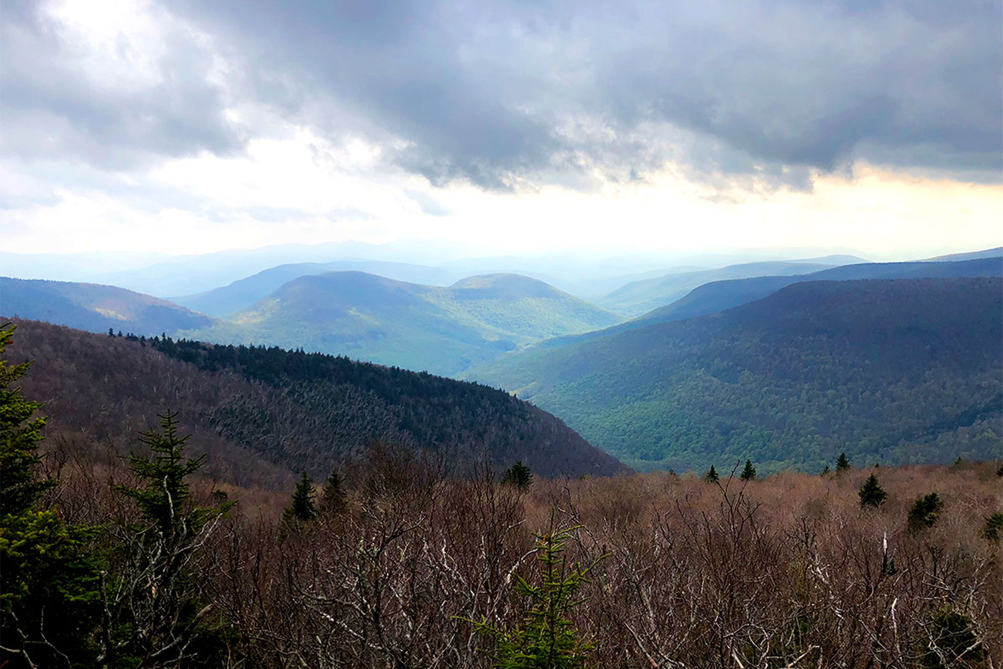
The Eastern Section
Beginning at the Prediger Road trailhead (42.13396, -74.10435), the Devil’s Path starts out easy, heading southeast on a wide path over the mostly flat ground. At 0.2 miles the blue-blazed Jimmy Dolan Trail splits off to the right. Bear left and follow those red blazes. Fortunately, for all the myriad obstacles this trail is going to throw at you, route finding isn’t one of them—every junction is very well-signed and the blazes are plentiful.
At 1.7 miles, the trail runs into a T intersection with the Overlook Trail—take a right. In about 200 feet, the trail splits again, with the Overlook Trail heading straight (south) and the Devil’s Path breaking off to the right (west-southwest).
A short distance straight on the Overlook Trail is the Devil’s Kitchen Lean-to (42.11896, -74.08716), a very popular shelter and the first of its kind on the trail. Should you be looking to do this hike in a weekend, the Devil’s Kitchen is a solid Friday night option, and will all but ensure an early start on Saturday morning. You almost certainly won’t be the only one with this plan in mind, though, so don’t bank on a spot in the shelter proper.
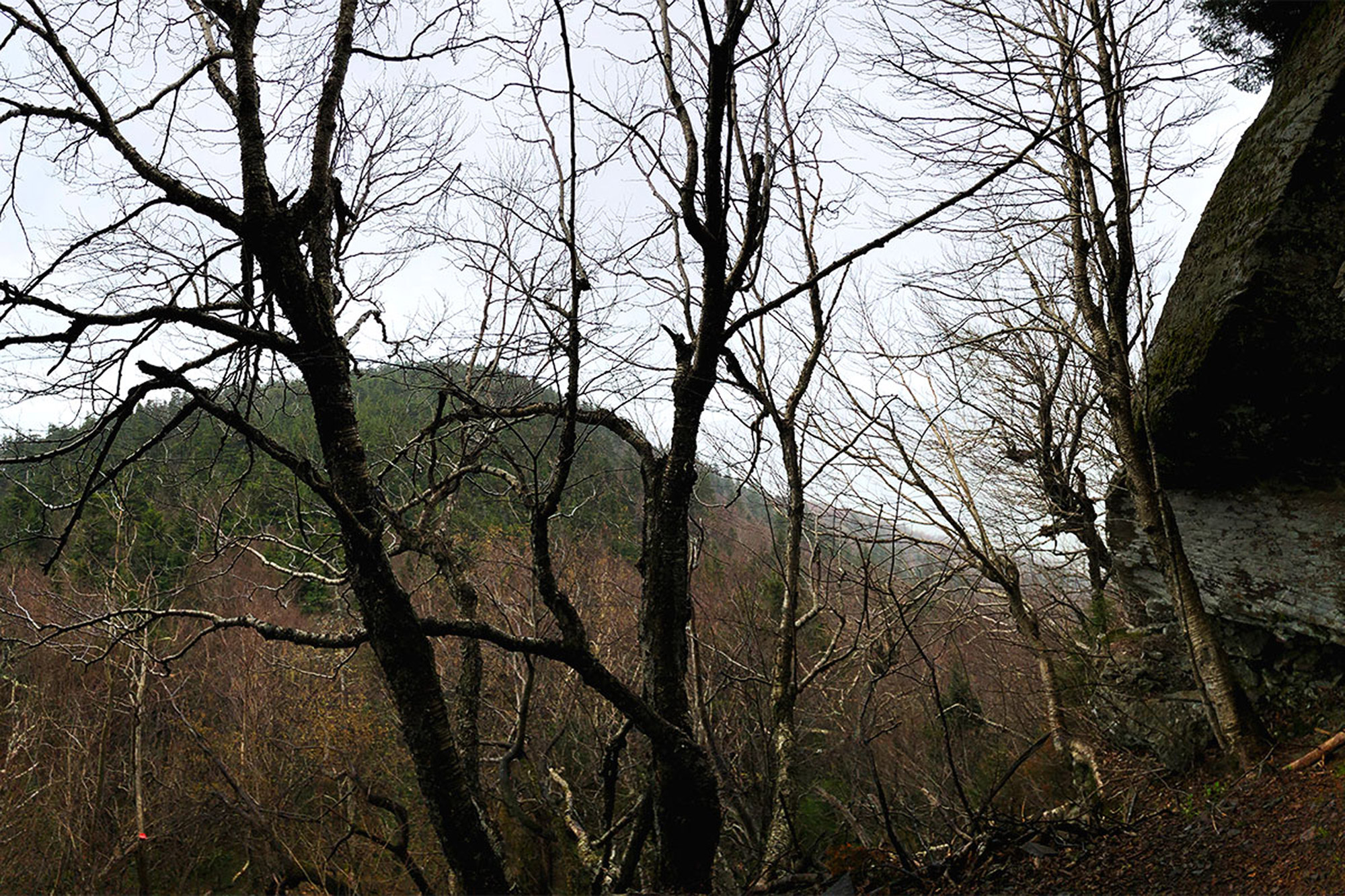
Indian Head Mountain
After the junction with the Overlook Trail, the Devil’s Path begins its first ascent, moderately gaining elevation as it climbs the northeast face of Indian Head. At 2.9 miles the trail reaches Sherman’s Lookout, an open ledge with excellent views back to the east. From here, the trail meanders over the ridge, climbing and descending easily to another great view, this time to the south. Beyond this lookout, the grade steepens and requires some easy scrambling over rocks and roots—a mere warm-up for what’s to come—to the viewless 3,573-foot summit of Indian Head (42.11640, -74.11456), your first of five Catskill 3500-foot peaks on the trip.
Up next is your first, steep, characteristically-Devil’s-Path descent, dropping around 500 feet in 0.6 miles into Jimmy Dolan Notch. Compared with the descents to come, however, this one is relatively moderate. At the low point of the notch (4.5 miles), the eponymous, Jimmy Dolan Notch Trail descends to the right. This is the same blue-blazed trail the Devil’s Path crossed at the beginning of the trip so should you need an early bailout option, this is one will take you right back to the car.
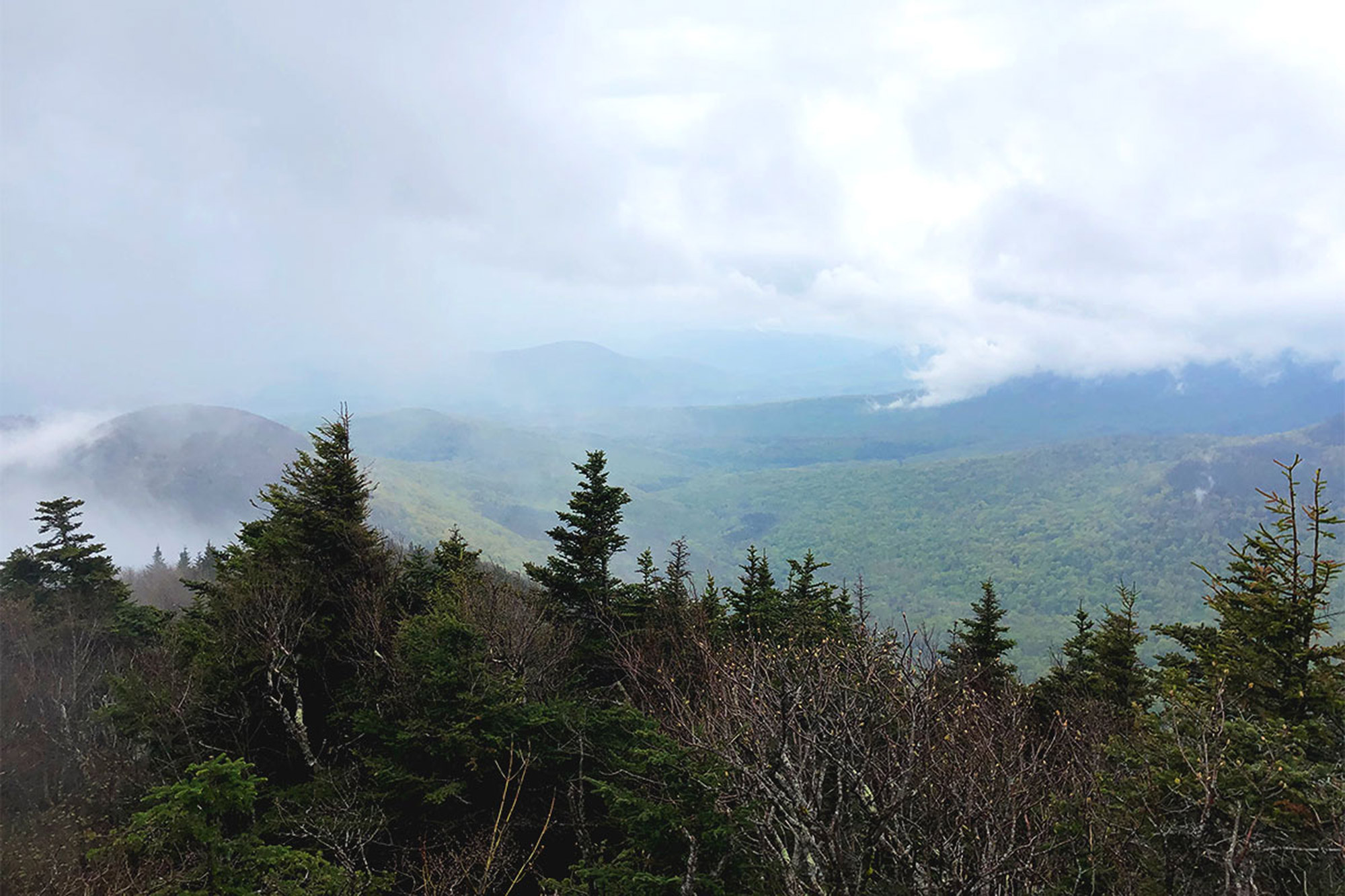
Twin Mountain
Rising to the west, on other side of Jimmy Dolan Notch, is Twin Mountain, the second 3,500-foot peak of the hike. Much like your descent into the notch, the climb out is short and steep, regaining all the elevation you just lost in short order. At 4.9 miles, the trail gains the south summit and rewards your early efforts with a really outstanding view to the south. Continue on a relatively level ridge walk, descending slightly though thick evergreens and climbing again, easily, to the true summit of Twin Mountain (3,640 feet) (42.12559, -74.12903), at 5.6 miles, and another good viewpoint.
A short distance down from the summit you’ll come upon a cave on the trail’s right hand side. A spacious rock overhang makes this a solid, protected spot to post-up for for a breather and maybe even some lunch—if you’re trying to bang this out in two days, the timing will likely work out.
Make sure to enjoy the break though, because past this point, the Devil’s Path really starts to show its teeth. This descent, into Pecoy Notch, gets steep quickly and the pace slows right down. There are a few rock features through this section of the trail that require some serious scrambling and one that’s actually more of a downclimb. These can be dangerous in wet or icy conditions so an abundance of care is necessary to negotiate them safely. Keep on descending into Pecoy Notch where a junction with the Pecoy Notch Trail (blue blazes) at mile 6.3, provides another eligible bailout if needed.
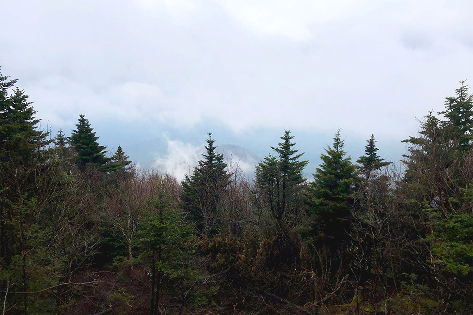
Sugarloaf Mountain
From here, the trail presses on to the West and the steep ascent of Sugarloaf Mountain. One fun feature of the eastern section of the Devil’s Path is that the ups and the downs get progressively more difficult for the west-bound hiker. So, that this little section ups the ante—climbing around a thousand feet in a little less than one mile—should come as no surprise. It’s rough, as the trail scrambles over rocks and roots until, after what seems like forever, you reach the summit ridge and level out for a short, gentle approach to the 3,800-foot viewless summit (42.13130, -74.15014) at mile 7.5. A yellow-blazed spur path just beyond leads to a good viewpoint south.
The descent into Mink Hollow is—you guessed it—steep and rough. There are plenty of obstacles to negotiate as you drop almost 1,200 feet in 1.05 miles so the going is predictably slow.
When the trail finally levels out it’s joined by the blue-blazed Mink Hollow Trail on the right at mile 8.55. These two trails run together for a short while before the Mink Hollow Trail departs to the left. Following that will bring you to the Mink Hollow shelter (42.13564, -74.16247) and decent water source. Depending on what time of day you get here, this is also a beautiful little spot to set up camp for the night. If not, it’s still a prime opportunity to take a break and fill-up before the rough hike back up, the latest in a series of progressively harder climbs.

Plateau Mountain
Continuing straight on the Devil’s Path, the terrain steepens just about immediately and the scrambling resumes as you make your way out of the hollow. Intermittent views back towards Sugarloaf make stopping to catch your breath a bit more enjoyable but the ascent is steep. At 9.6 miles, after 1,250 vertical feet of some pretty heavy duty hiking, you gain the summit ridge and top-out on Plateau Mountain at 3,840 feet (42.13780, -74.17419).
As the name would suggest, the summit of Plateau is relatively flat for a leisurely 2.1 miles through dense, fragrant conifers. Roughly 0.4 miles after the summit, the Warner Creek Trail breaks off to the left.
Plateau’s ridgewalk culminates with two excellent viewpoints. Known as Danny’s Lookout and Orchid Point they offer nice views to the North and West, respectively and the open ledge of the latter is another great spot for a rest before heading down to Stony Clove Notch.
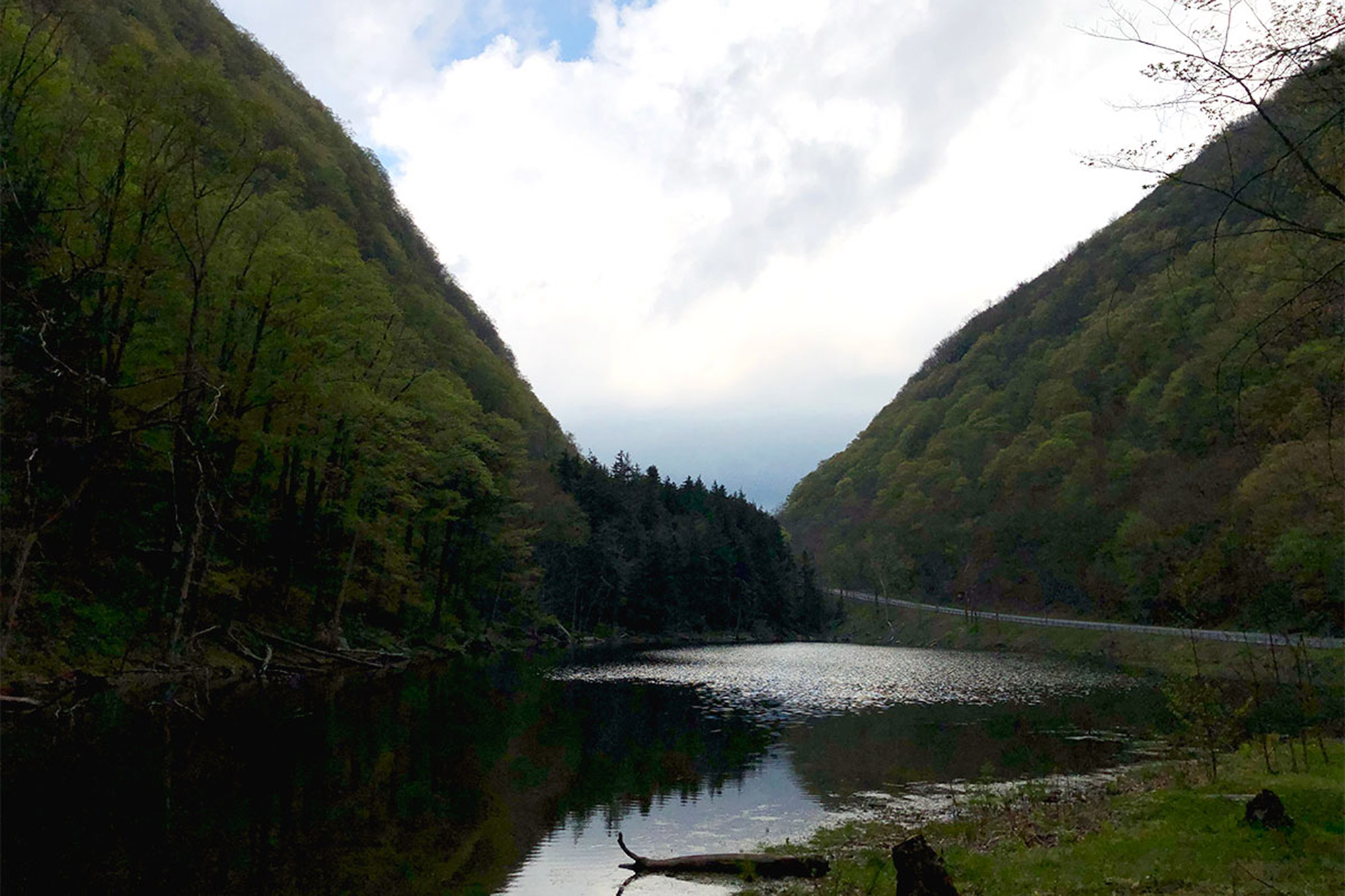
Stony Clove
From Orchid Point, the trail continues on to the left, dropping quickly over some large rocks before beginning a long, moderate descent. While ‘moderate’ may sound lovely here, especially after the drama of the previous several descents, the Devil’s Path has another plan for it’s weary hikers: loose, broken, ankle-rolling rocks. If you’ve chosen to split this hike into two days, you may be coming down in the dark here, so take care and make sure that headlamp is charged. Eventually the grade and scree will ease up and turn into a rough staircase as you make your way into Stony Clove Notch.
If you’re making this a two day affair, Devil’s Tombstone Campground (42.15466, -74.20599) is a good place to stop. It’s wildly popular so make sure to reserve a spot in advance. If you’re hiking in the off-season, when the campground’s closed (October to May) consider another option—the campground is regularly patrolled and the fines for illegal camping are steep.
Note: The Devil’s Tombstone Campground is closed for the 2019 season for essential infrastructure updates. Existing reservations will be accommodated but there will be no staff or amenities on site. More information is available here.
The Western Section
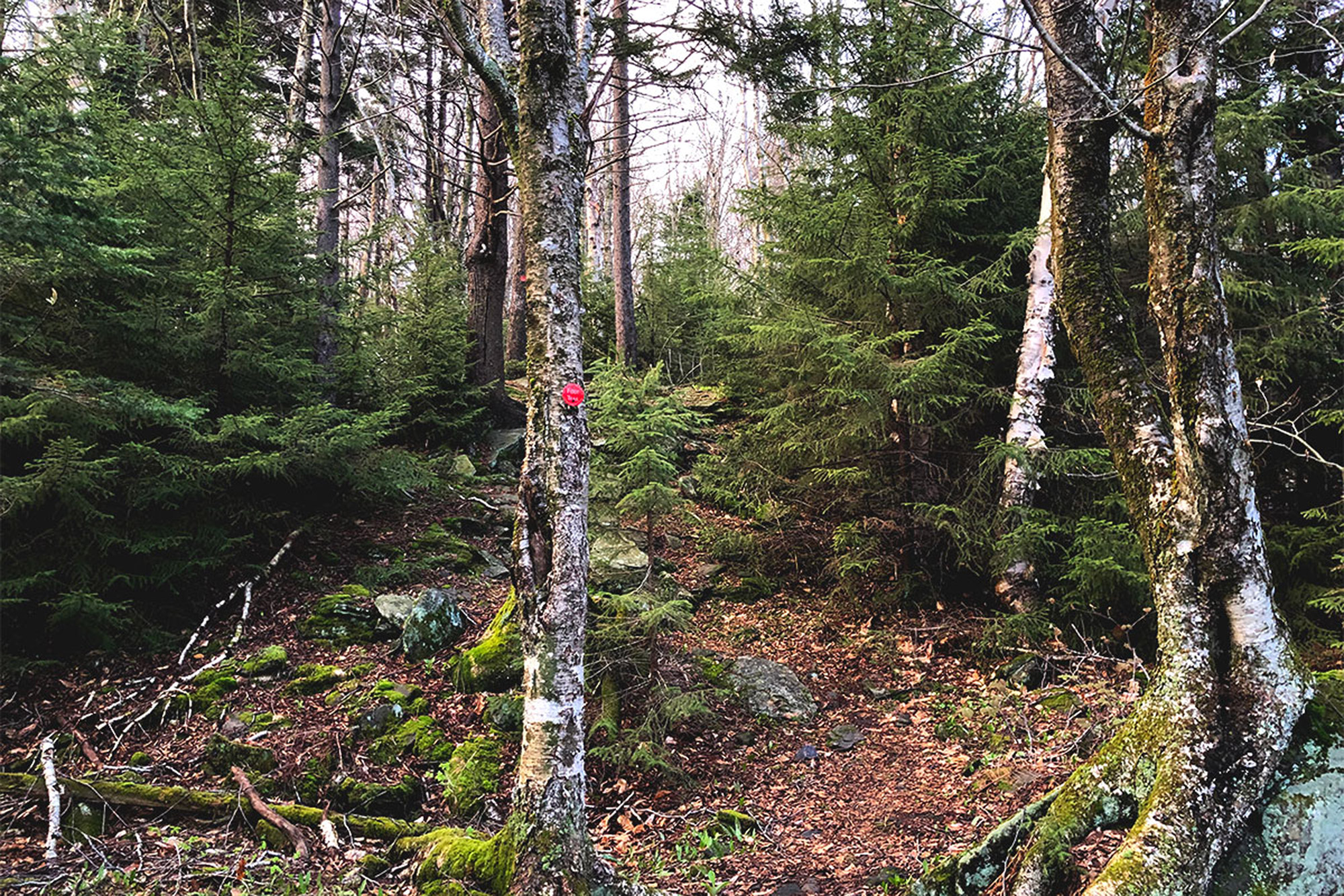
The trail resumes across NY-214, winds through the campground, and crosses a footbridge before reentering the woods. Another steep climb begins almost as soon as you get into the trees as the Devil’s Path switches back and forth over rocks and roots, steadily gaining elevation. This is one place to pay particularly close attention to, as some of the switchbacks are hard to see and it’s easy to just keep on walking straight off the trail. The blazes are there, just keep a close eye.
The grade eventually eases up and the trail proceeds over the relatively mild terrain in the col between Hunter and Southwest Hunter Mountains. At mile 15.1 the yellow-blazed Hunter Mountain Trail, which leads north to the summit of Hunter Mountain, begins on the right. Continue straight and just past this junction find the Devil’s Acre lean-to ( 42.16544, -74.23084)—another serviceable option for spending the night—and a reliable water source just off the trail to the right.
The next 2.2 miles are among the Devil’s Path’s gentlest as the trail traverses the southwestern flank of Hunter Mountain and descends into Diamond Notch.
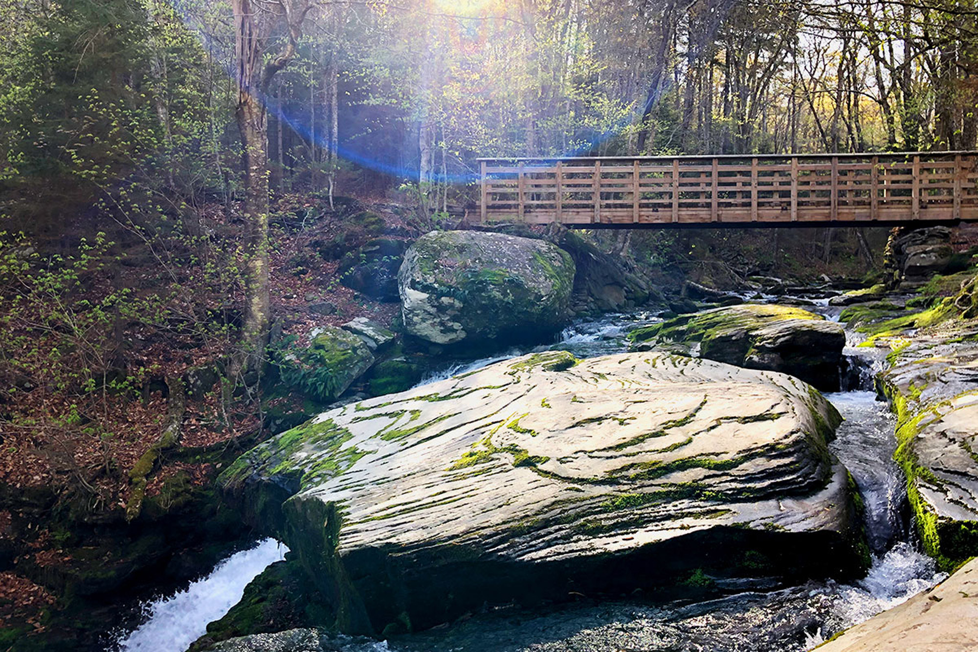
The low-point of the notch features Diamond Notch Falls (42.17519, -74.25791)—a lovely place to take a break and get some water—and a junction with the blue-blazed Diamond Notch Trail. If you’re looking for a place to spend the night, this is a good opportunity—take a left and the Diamond Notch Lean-to is just 0.5 miles south. If not, keep on going straight—West Kill Mountain, your final high peak of the trip, awaits.
West Kill Mountain
The Devil’s Path crosses a sturdy wooden foot bridge over Diamond Notch Falls and turns right, paralleling the Brook briefly before swinging left and beginning to climb. The ascent opens with a short bit of rock hopping before easing into a soft, mostly dirt footpath. The grade is steep but steady and the terrain is far easier than any of the previous climbs on the route.
Nearing the top, a few rock obstacles require short scrambles before the climb out of Diamond Notch culminates with a cool rock overhang at 18.7 miles. The trail skirts the overhang to the left and gains the ridge with one final push.
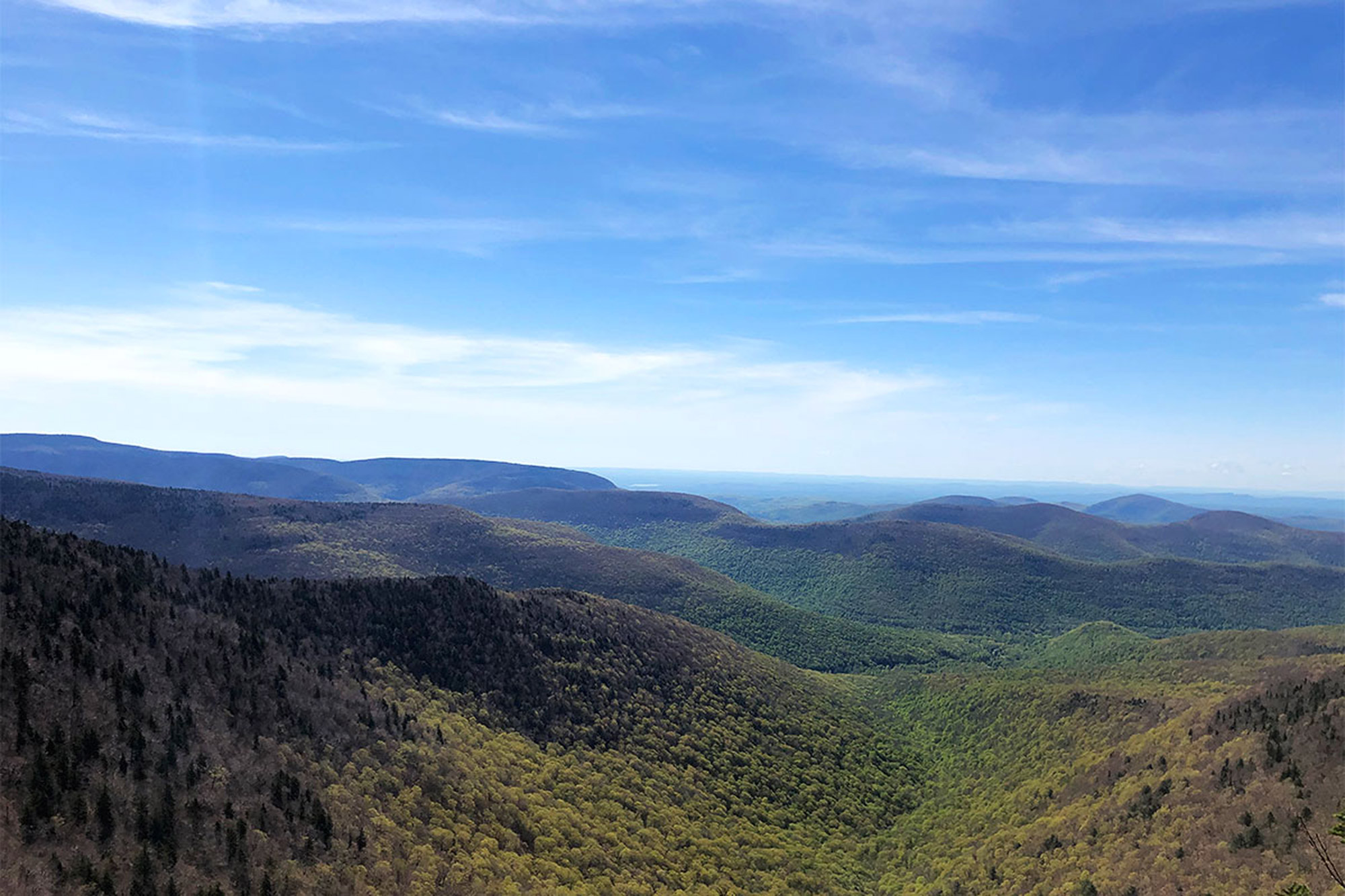
West Kill Mountain’s long ridgeline has four distinct “summits,” and just past the rock overhang marks the first one. Beyond, the trail dips down into an easy saddle before beginning its ascent of the true high point. The enjoyable stroll winds through dense evergreens to Buck Ridge Lookout, an outstanding southerly viewpoint at 19.65 miles. If you’re looking for a breather, here’s a good place to do it.
Another gentle 0.15 miles takes you to the true summit of 3,880-foot West Kill Mountain (42.16787, -74.28959), marked by a cairn and a sign. Continuing on, the Devil’s Path drops, steeply at times, as it traverses West Kill’s ridge. Cross over another small knoll and continue traversing the ridge on your way to Saint Anne’s Peak.
A short final climb up Saint Anne’s Peak (3420, mile 21.85), the westernmost of West Kill’s summits, marks the final real ascent of the journey. Past here the Devil’s path descends steeply to the northwest before swinging back to the southeast. At mile 22.8, the trail meets a brook and takes a hard right.
The remaining 1.55 miles follow the path of the brook, gently rolling over minor elevation gains and losses through a shady evergreen forest until one last, steep descent to the parking area on Spruceton Road (42.19209, -74.32433).
The Kit
- In the mountains, two trees are often easier to find than a flat, rockless clearing. Consider eschewing the tent for an Eno Singlenest Hammock. It’s also a whole lot lower-impact, which is a nice bonus.
- Soaked socks are the worst, so a second pair is critical. Darn Tough Vermont Hiking Socks are wicked comfortable and just about indestructible—just what you’re going to need after a day on this trail.
- Sacrificing taste for weight is rough but there are a ton of good freeze-dried options out there. Good To-go is an outstanding one with vegan and gluten free meals available. Try the Herbed Mushroom Risotto.
- Get those meals cooked with the MSR Windburner Stove System. It’s lightweight, packable, and doesn’t skip a beat up high or in a storm.
- Whether you’re doing it in a long weekend or a single day, at some point, you’re going to be hiking in the dark. A headlamp, like the Petzl Actik Core, is essential—the rechargeable battery is a real plus too.
Keys to the Trip
- In drier seasons, water can be hard to come by out here so be prepared to fill up early and often. Do your research before you go: Know where reliable springs can be found and keep an eye on the trail conditions and weather reports.
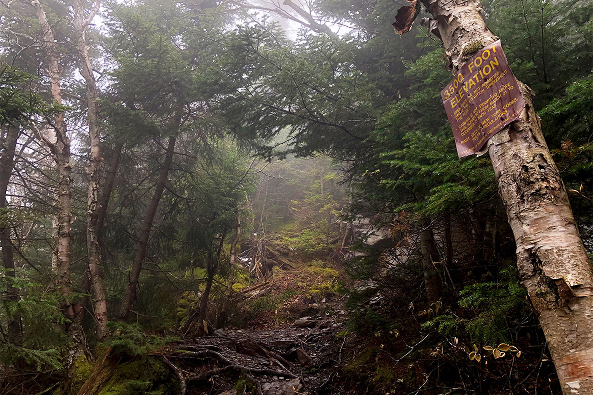
- Backcountry camping is permitted below 3,500 feet and at least 150 feet away from trails and water sources. Lean-tos at Devil’s Kitchen, Mink Hollow, Devil’s Acre, and Diamond Notch are good options as well.
- If you want to go fast and light and not lug too much food (or water) with you, NY-214 crosses the Devil’s Path at its midpoint, making an ideal spot for a supply drop. Just keep it out of reach of the bears.
- Once you’re out of the woods, grab a post-hike beer at nearby West Kill Brewing. Just 1.7 miles East of the trail’s end on Spruceton Road, this little gem—and its eclectic menu of beers featuring locally harvested and foraged ingredients—is a welcome respite.
Current Conditions
Have you hiked any part of the Devil’s Path recently? Post your experience and the conditions (with the date of your climb) in the comments for others!
John Lepak
John Lepak is an art director, graphic designer, and weekend mountaineer. He hasn’t met a rock scramble he didn’t like, and spends his free time either in the mountains or obsessively cooking Mexican food. When John isn’t pushing pixels, crushing miles, or making the best carnitas caseras you’ve ever tasted, you can find him living the dream in the Connecticut woods with his family. Follow him at @jhlepak.
Related Posts
April 12, 2024
Explore Like a Local: The Outdoor Mecca of North Conway, NH
There's a lot to love about this New…
April 3, 2024
5 Things To Do in the Boston Area During Mud Season
Adventure opportunities are abundant…


