

Not everyone has the time, savings or desire to head out on a 5 month thru-hike adventure on the Appalachian or Pacific Crest Trails. Thankfully, for those of us who want to keep our jobs, there are plenty of shorter long-distance trails right here in the Northeast that are just as gorgeous and challenging as a longer trail, giving you the experience of thru-hiking and long periods spend in the woods, without forcing you to sacrifice a large part of your life. Plus, some can be completed in as little as one or two weeks. Here are five favorite thru-hikes that are worth your vacation time this summer.
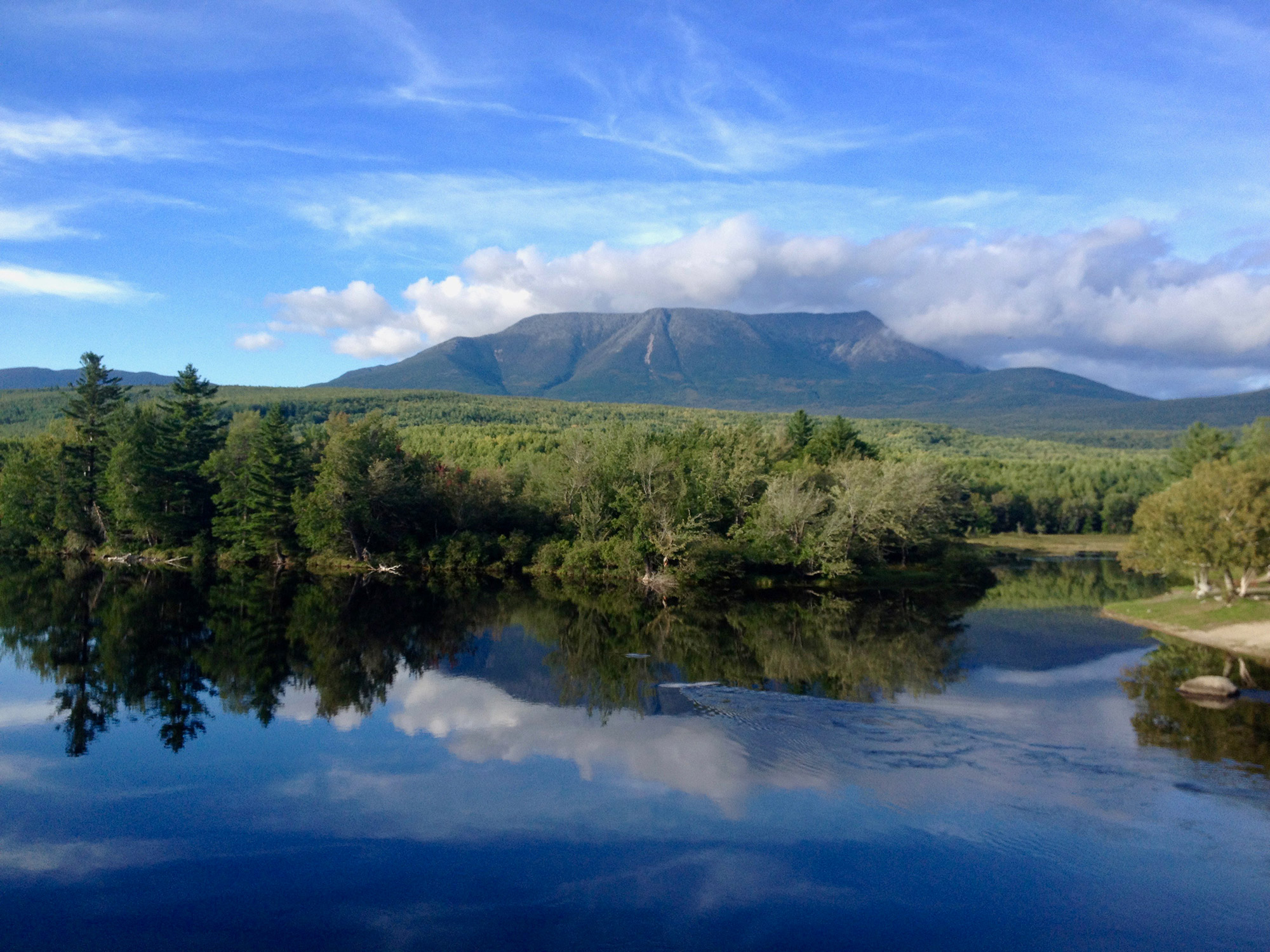
The 100-Mile Wilderness
Explore the Appalachian Trail’s most remote section along a substantial stretch of uninterrupted trail. Stretching from Rt. 15 in Monson and continuing to Abol Bridge, the 100-Mile Wilderness offers a challenging adventure deep in Maine’s woods.
Location: Monson, Maine to Baxter State Park
Length: 100 miles (5-10 days)
Terrain: Easy to moderate elevation change with roots and rocks in sections (18,000ft. of total elevation change). Occasional water crossings.
Season: Summer to Fall. The trail can be muddy in early spring and buggy in early summer. Opt for July through October for the best conditions.
Camping: Plenty of shelters throughout. Summer and fall hikers will find themselves sharing shelters and stories with AT thru-hikers as they near the end of their multi-month adventures. Seeking more solitude? There are lots of backcountry camping options (permitted 200 feet from trails water sources).
Resupplying: None. Unless you arrange a food cache through Shaw’s Hostel in Monson.
Why It’s Worth Hiking: The 100-Mile Wilderness travels through some of the most remote country in the Continental U.S. (it doesn’t cross a paved road). It’s a parade of changing scenery, with low elevation forests featuring glassy ponds and waterfalls, to the traverse across the Barren-Chairback Range and climb up White Cap. Have an extra day or two? When you finish, continue another 20 miles up Mount Katahdin and enjoy 360-degree views after a grueling 4,000-foot climb.
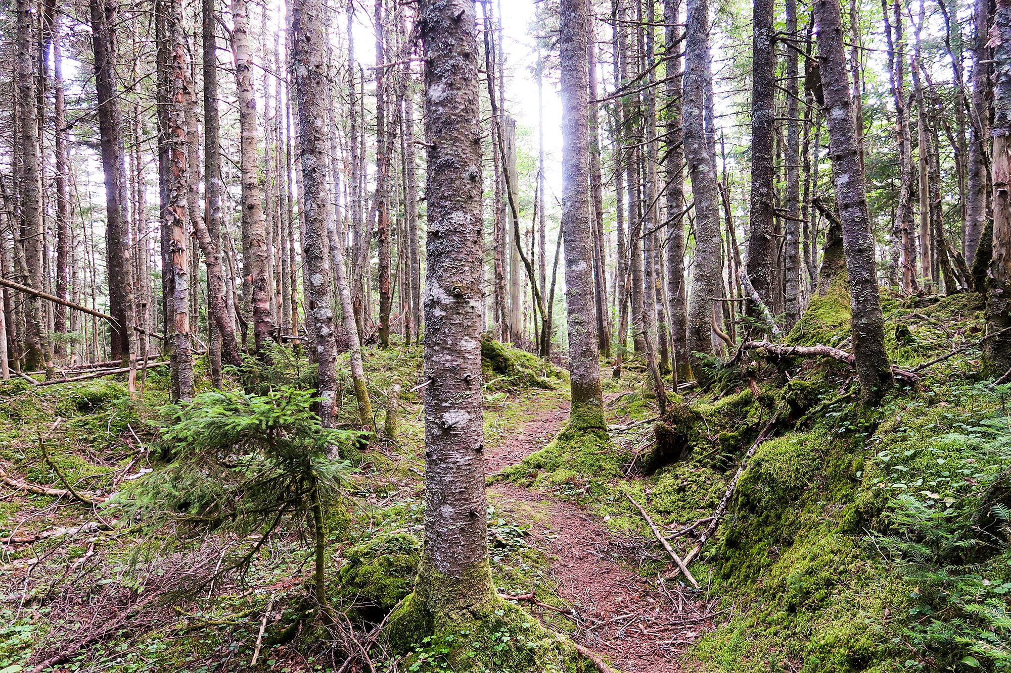
The Cohos Trail
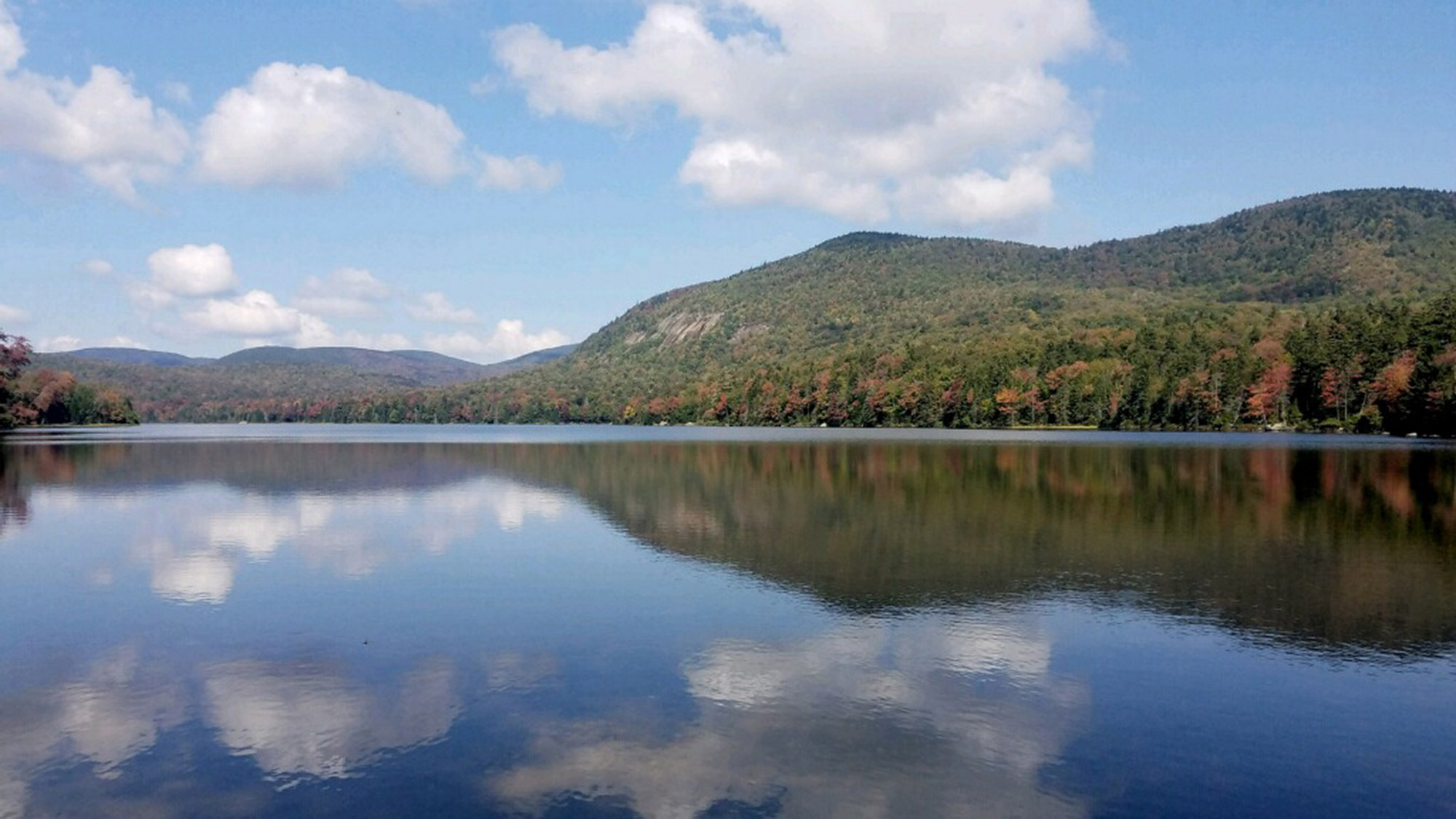
Still relatively unknown, the Cohos Trail extends from the Canadian border near Pittsburg, New Hampshire to Crawford Notch in the White Mountains. Its remote nature guarantees frequent wildlife sightings and varied terrain through dense woods and across steep ridge lines through New Hampshire’s North Woods.
Location: Coos County, New Hampshire
Length: 170 Miles (10-15 days)
Terrain: Rolling hills combined with steep, rocky climbs through lush forests and by remote lakes. A combination of singletrack trail, snowmobile trail and dirt road.
Season: The Cohos can be hiked from May through October. August or September will provide ideal weather, with fewer bugs and more berries. Head out in early- or mid-October to catch the leaves change while enjoying cooler temperatures and a crowd-free White Mountains.
Camping: There are a few newly-crafted shelters, some state and private campgrounds on or just off the trail that provide more facilities, and two B&Bs in the small towns of Stark and Jefferson. Backcountry camping following LNT principles (camping at least 200 feet from the trail and water sources, packing out all trash) is permitted outside of the Connecticut Lakes Region.
Resupplying: A handful of general stores, campgrounds and inns that may accept resupply packages, and opportunities to get rides into the towns of Gorham and Groveton.
Why It’s Worth Hiking: The Cohos travels through diverse ecosystems and terrain including Dixville Notch, Nash Stream Forest, White Mountain National Forest, and Connecticut Lakes regions. It’s a quiet, but challenging trail for both new and experienced hikers. With its panoramic views and frequent mushroom and wildlife sightings, this is a trail for anyone seeking solitude.
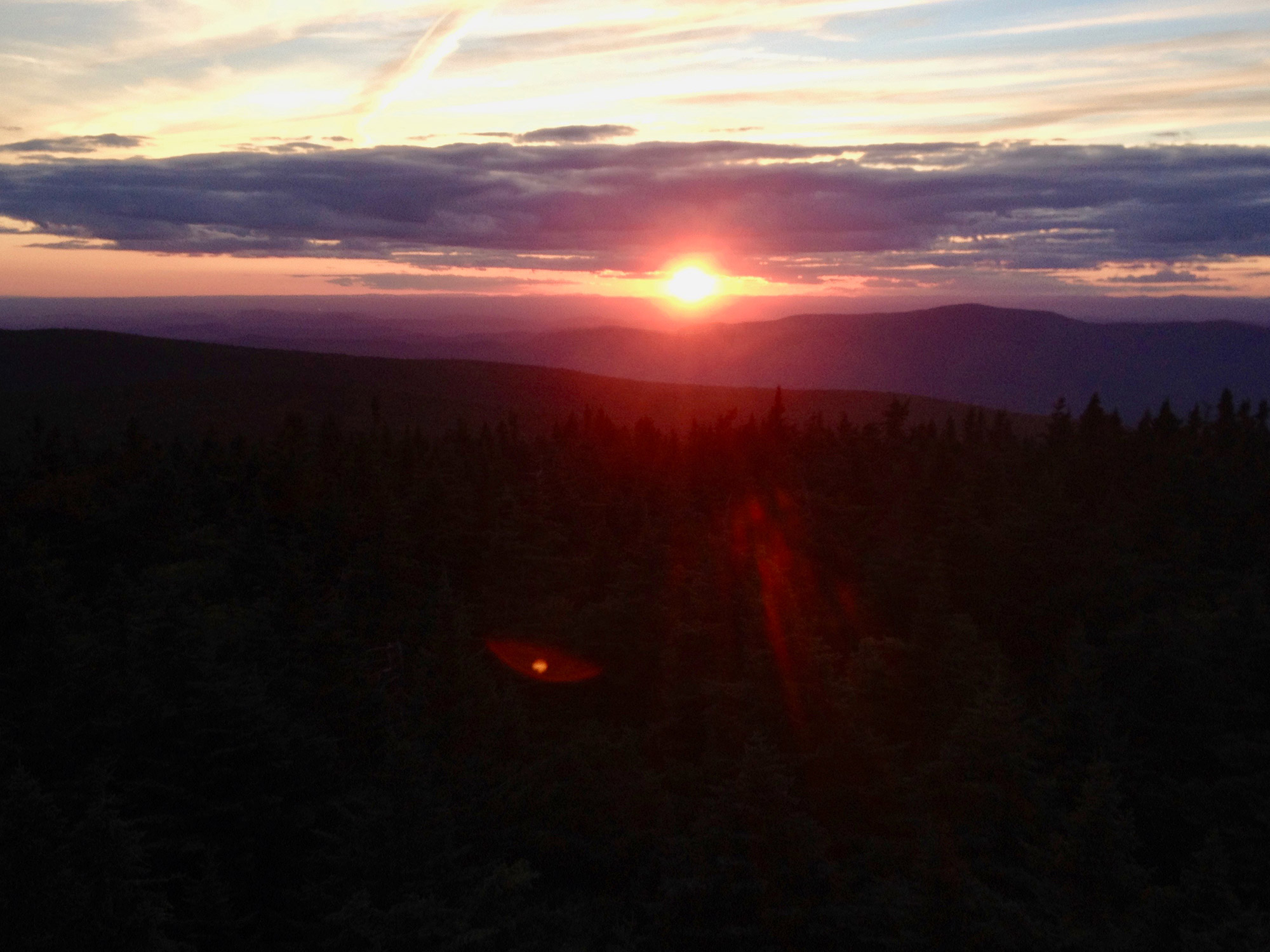
The Long Trail
Stretching the length of Vermont, The Long Trail is authentic, demanding New England hiking. It shares 100 miles with the AT and summits most of the prominent peaks in the Green Mountains, including Killington, Camel’s Hump, and Mount Mansfield. While it’s the toughest of any on this list, that doesn’t go without huge reward and bragging rights: The trail climbs over 60,000 feet in elevation.
Location: Vermont; Massachusetts to Canada
Length: 272 miles (15-25 days)
Terrain: Rugged. Steep, muddy and rocky with lots of elevation change.
Season: June to September. “Vermud” is the real deal on the Long Trail, so it’s best to hike later in the summer or fall than at the height of wet trail season. The trail can be crowded in July and August with end-to-enders and AT hikers, but you’ll have longer daylight and pleasant summer temperatures. If you can tolerate, and have the proper gear for colder weather, October would be a quiet and colorful month to hike. Late fall hikes bring higher chances of snow.
Camping: There are over 70 shelters and nicer lodges (fee required) along the Long Trail built and maintained by the Green Mountain Club. You’ll find other lodging options directly on, or not far off the trail such as the famous Long Trail Inn.
Resupplying: Most hikers will only carry 2 to 4 days of food at a time. Resupplying by sending boxes to locations closer to the trail is also an option.
Why It’s Worth Hiking: Not only is the Long Trail the oldest (established in 1930) long-distance trail in the country, it’s also one of the toughest. Through rocky high peaks and evergreen tunnels, hikers will experience challenging terrain with rewarding panoramic views. The culture of thru-hiker camaraderie and history the generations of passionate outdoors-people who’ve sustained this trail, are something special.
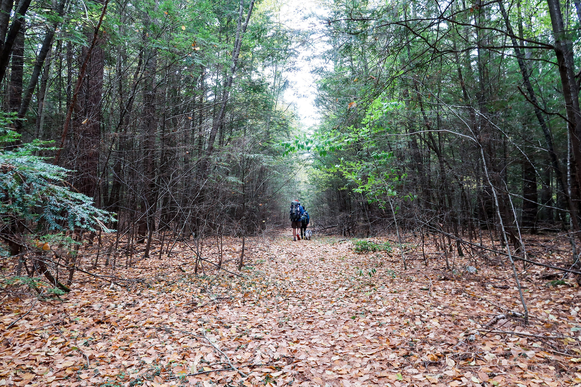
The New England Trail
Stretching from the Long Island Sound to Massachusetts’ northern border, this trail follows classic New England landscapes: unfragmented forests, traprock ridges, historic towns, river valleys, waterfalls and farmlands. It is comprised mainly of the Mattabesett, Metacomet, and Monadnock (M-M-M) Trail systems and makes for an attainable thru- or section-hike.
Location: Massachusetts & Connecticut
Length: 215 miles (10-20 days)
Terrain: Moderate elevation change on well-maintained single-track trail with some river crossings and some road walking.
Season: Year-round. If you’re not afraid of cooler temperatures, October is a gorgeous time to hike the NET, thanks to colorful leaves, no bugs, and beautiful temperatures (and do-able ford of the Westfield River). Summer hikers will see optimal daylight and more crowds because the trail travels through popular day-use areas. Spring would be marvelous and lush as well.
Camping: With only 8 “official” shelter and tentsite locations, camping can the biggest challenge of an NET hike. Much of the trail crosses private property or State Parks where backcountry camping is not permitted. The map clearly outlines the boundaries of these areas and since the trail crosses roads often, it is entirely possible to avoid camping illegally with the fitness to pull bigger mileage and/or finding a ride into nearby towns for the occasional hotel stay.
Resupplying: Logistics are a breeze on the NET. The trail stays pretty urban for the most part, with opportunities to eat at restaurants and re-up on food at gas stations or post offices (via resupply box) along the trail. In addition, there are many places to get rides into towns for full amenities including grocery stores, lodging and laundry. By studying the maps, hikers can easily plan for major resupplies in Northampton, Massachusetts, Farmington, Connecticut, and Middletown, Connecticut.
Why It’s Worth Hiking: The New England Trail offers the unique experience of hiking through historical woods and townships among sweeping vistas, diverse resources, and plenty of summits. In addition, the trail is so accessible, providing easy logistics and gentle terrain. Highlights include the 12-mile ridge of the Mount Holyoke Range above Northampton, Rattlesnake Mountain overlooking Hartford, and Ragged Mountain.
The Northville-Placid Trail
While many people have experienced the joy of the High Peaks region, possibly bagging one of the Adirondack’s 4,000 footers, fewer have traveled the remote valleys between them. From Northville to Lake Placid, hikers can enjoy the solitude of backcountry lakes, rivers and woods.
Location: The Adirondacks, Upstate New York
Length: 136 miles (7-12 days)
Terrain: Moderate rolling hills at low-elevation, with some rocky and wet sections.
Season: June through September is the most appropriate time to hike. Since the Northville-Placid Trail stays at lower-elevation, there’s a few areas the trail runs through swamp lands, which would be buggy in early-mid summer. Days can be warm and humid with cooler temperatures at night. For warmer lakes to swim in, drier trail, and fewer bugs, hike it in September.
Camping: One of the greatest aspects of the NPT is the scenic lean-tos placed along the entire length of the trail close to many of the pristine lakes that are available on a first come, first serve basis. Backcountry camping is prohibited within 150 feet of any road, trail or body of water except at designated camping areas marked with a yellow sign.
Resupplying: In the heart of the Adirondacks, the NPT is remote and does not come within distance of any larger towns, requiring mailing resupply packages or finding a way into a town. Most hikers will send resupply boxes to the tiny towns of Piseco (mile 40) or Blue Mountain Lake (Mile 80) and get a ride into Long Lake, where you’ll find the Adirondack Trading Post and restaurants, laundry and lodging. Lake Placid (the northern terminus) is an outdoor town with many services, including shuttles and an EMS.
Why It’s Worth Hiking: With its mellow terrain and many backcountry lakes to cool off in, the Northville-Placid Trail travels through some of the wildest and most remote valleys of the Adirondacks. Some highlights include the Cedar Lakes, Canada Lakes, Long lake and the High Peaks Wilderness. The conveniently-placed shelters and straightforward logistics make it a fantastic hike for both new and experienced long-distance hikers.
Related Posts


