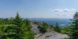
White Mountain weather is notoriously dangerous. Thankfully, the Mount Washington Observatory (MWOBS) is up to the task, working every day to monitor these conditions and keep us safe. An invaluable resource, their reports help us make informed decisions for our backcountry trips and increase our margin of safety in the mountains.
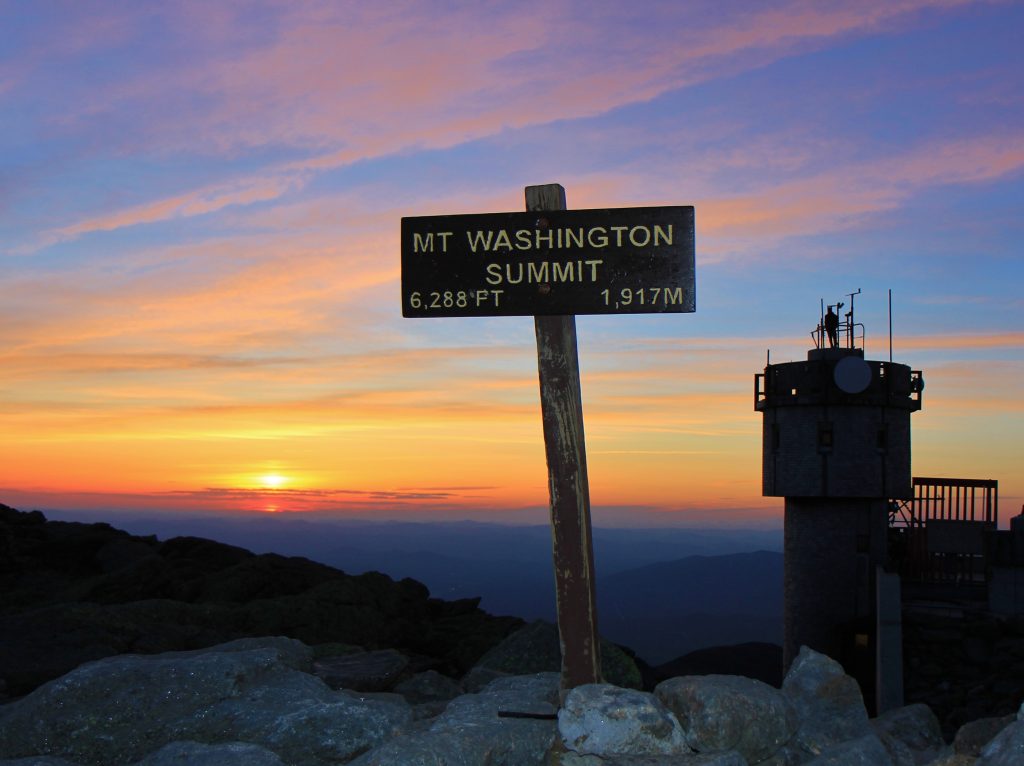
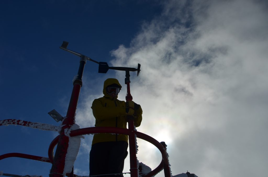
Located at Mount Washington’s summit, 6,288 feet above sea level, MWOBS sees some of the world’s most intense weather events. There, six full-time weather observers and meteorologists work in shifts around the clock, delivering forecasts, collecting data, and maintaining weather instruments during extreme events.
“Our forecasts are the only forecasts produced by experts on the summit, who live and breathe this extreme weather every day, and hence are the most reliable forecasts by far,” said MWOBS Senior Meteorologist Mike Carmon. “You can find plenty of other forecasts for the higher peaks of the White Mountains out there. But, those are purely automated by a computer model and very often underestimate the extreme weather above treeline in the Whites.”
Since mountain weather constantly changes, don’t expect to see a 10-day forecast on the Observatory site. “The biggest forecasting challenge is the extreme nature of Mount Washington’s weather, and how inherently difficult it is to predict extremes in the world of meteorology,” said Carmon. Instead, you can expect detailed, short-term forecasts with supplementary real-time data.
Through the Observatory website, you can quickly get information on current summit conditions and a summit and valley forecast. For experienced weather enthusiasts, it further provides more detailed data.
How do I read the forecast?
The Higher Summits Forecast particularly benefits local recreationists, such as hikers, skiers, mountaineers, and backcountry campers. Additionally, organizations like the U.S. Forest Service, New Hampshire Fish and Game, Appalachian Mountain Club, and Mount Washington State Park use it for critical decision making.
The forecast begins with a meteorologist’s summary for at least the following two days and indicates what conditions to expect. This information provides important details about high- and low-pressure systems, temperature gradients, and precipitation potential. Ultimately, it lets you determine how the impending weather will affect your adventure.
To cut to the chase, look below the summary for the cloud cover, precipitation, temperature, wind, and wind chill. This data is broken up between day and night.
Aimed at helping visitors and tourists, the Mount Washington Valley Forecast offers more general information specific to the surrounding lower elevations. Oftentimes, it follows the Summits Forecast’s trends but is substantially less intense. If the forecast calls for winter-like summit conditions, the Valley, however, might be hot and sunny. The main lesson in these circumstances is, never trust lower-elevation weather to represent the summits.
What’s it like on Mount Washington right now?
As another resource, real-time weather data covers both Mount Washington’s summit and various locations around the Whites. This type of information particularly assists those traveling to or near the reporting weather station.
The Current Summit Conditions page includes a vertical temperature profile, wind, temperature, humidity, pressure data, and current visibility. A graphical representation additionally displays trends from the last 24 hours. Incredibly valuable to winter climbers and skiers, this technical data helps anyone planning to travel to Mount Washington’s summit.
The Mount Washington Regional Mesonet compiles real-time data from the White Mountains’ other remote weather stations. While not as advanced, these unmanned stations have basic data on current temperature, wind, and humidity across a wider area.
How do they do it?
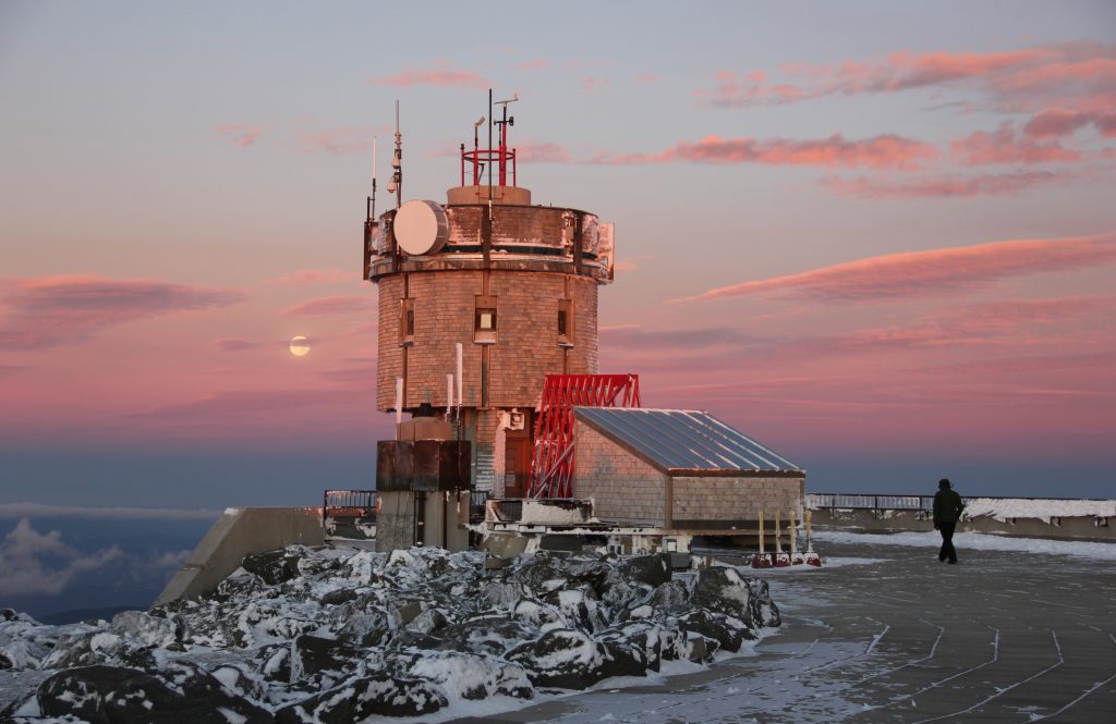
“The fact that our weather station is still manned 24/7 is probably what sets us apart the most from your typical weather station,” explained Carmon. “Most weather stations, these days, use almost entirely automated instrumentation and are unmanned. However, the nature of our extreme weather still necessitates a manned presence on Mount Washington 24 hours per day and 365 days per year.”
To make everything work, MWOBS relies on durable, state-of-the-art weather instrumentation, complex IT infrastructure, and vehicles to transport staff throughout the year. Over time, these costs add up.
“Seek the Peak is the Observatory’s largest annual fundraiser. So, it is the single, biggest event that contributes directly to the work of the Observatory,” Carmon said. “The contributions made through Seek the Peak go directly to keeping the station functioning and providing the most accurate weather forecasts possible.”
What other weather resources do hikers have?
The Backcountry Weather page, run by the AMC, lets travelers look at weather data specific to their locations. Before visiting an AMC hut, lodge, or campsite or any nearby location, be sure to check the destination’s specific weather.
The Mount Washington Avalanche Center’s Avalanche Advisory critically assists anyone traveling on the mountain’s east side from December through May. During the winter, the daily avalanche forecasts touch on snow and weather, trail and route conditions, and avalanche danger ratings.
The National Weather Service offers comprehensive forecasts, weather models, raw data, and radar pulling from numerous remote and unmanned stations. While it isn’t usually able to match the MWOBS Higher Summits Forecast’s accuracy, NWS is useful within your trip-planning toolbox.
Remember, you are responsible for your own safety while traveling in the mountains. Using these weather reports is just one way to help you make good decisions and be prepared for Mother Nature’s most extreme days.