

The White Mountains, and Mount Washington in particular, are one of the region’s most densely-packed trail areas. This means you have several options when you head up for Seek the Peak. But, to figure out your route, what’s better than to start with advice from the folks who spend day after day working on the mountains? So, check out the favorite trails and sections from these Mount Washington Observatory employees—the guys who know the region better than anyone.
Mount Jefferson via Caps Ridge Trail
By Tom Padham, Meteorologist/Education Specialist
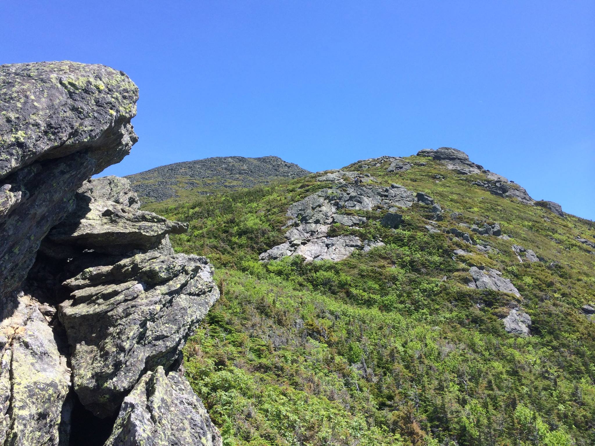
While not a hike up Mount Washington, this trail has so much to offer: great views, a relatively short length, and some interesting rock scrambles. The trail starts on Jefferson Notch road at roughly 3,000 feet—the highest of any trailhead in the White Mountains. As such, things open up only a mile or so into the hike, and after a short while, unobstructed views of the Presidential Range and Mount Washington emerge.
The “Caps” section consists of three short rock scrambles. It’s nothing requiring technical gear but enough to offer a great change of pace—and may be the first time you use all four limbs to climb a mountain! Overall, this hike is far shorter than many of the other routes to summit a Presidential Peak, but it still offers some challenges, with nearly 2,700 feet of vertical gain in only 2.4 miles. This is my favorite hike, because it manages to pack so much into just a few short and very beautiful miles!
Davis Path
By Brian Fitzgerald, Director of Education
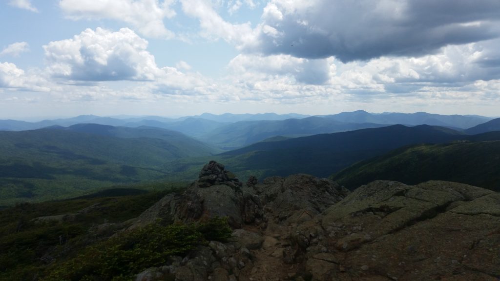
Totaling roughly 14 miles from Crawford Notch to the summit of Mount Washington, the Davis Path is one of the oldest and longest approaches to the Northeast’s highest peak. Constructed back in 1845 as a bridle path, this trail is an exhausting ridge hike for an ambitious day-hiker, and a very pleasant multi-day approach for backpackers. Along the way, hikers get stunning views as they summit Mount Crawford, Stairs Mountain, Mount Davis, Mount Isolation, and Mount Washington itself.
The Westside Trail
By Brian Fitzgerald, Director of Education
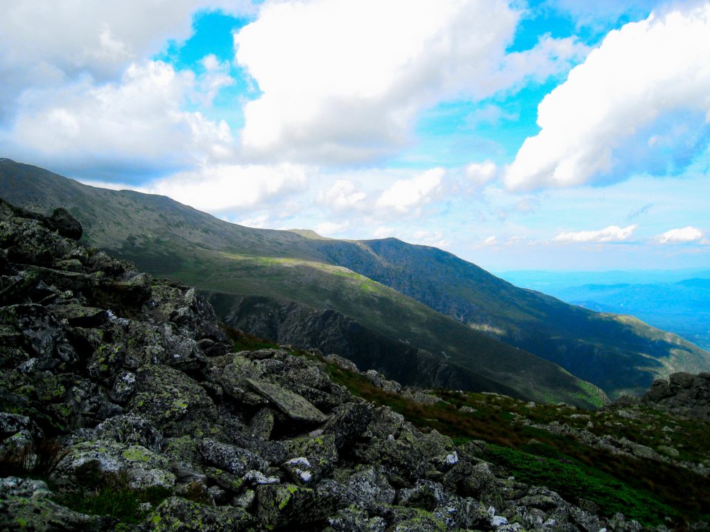
At over 5,500 feet in elevation and just below the peak of Mount Washington, the Westside Trail is one of the best places to escape the crowds on a pleasant summer day. At 9/10ths of a mile, the trail follows the mountain’s contour, providing excellent views to the west between the Crawford Path and Gulfside Trail. For staff who live and work on the mountain, this is the perfect loop to run when you want to get outside!
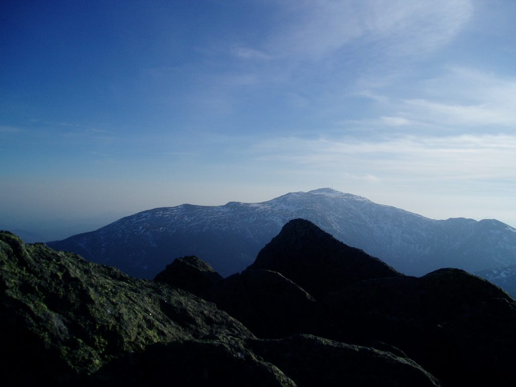
Ball Crag via the Nelson Crag Trail
By Ryan Knapp, Meteorologist
Boott Spur Trail
By Ryan Knapp, Meteorologist
Mt. Madison via the Valley Way Trail
By Taylor Regan, Weather Observer and Research Specialist
Weather and fitness permitting, this route could be the start of a Presidential Traverse or simply a nice and fairly challenging hike on its own. Mount Madison via the Valley Way Trail rises relentlessly from the Appalachia Trailhead, gaining over 4,000 feet of elevation in roughly 3.8 miles while passing close to several detour-worthy cascades and waterfalls. This sustained effort brings you to the outermost edge of the Northern Presidentials, with sweeping views of Mount Washington and the ribbon-like Auto Road tracing its way upward in the foreground. The summit of Madison is easily one of my favorite vista points.
Mount Washington via the Tuckerman Ravine Trail and Lion Head Route
By Taylor Regan, Weather Observer and Research Specialist
The Lion Head summer route begins along the Tuckerman Ravine Trail out of Pinkham Notch. Two of my favorite sections actually bookend this hike. Shortly after leaving the parking lot, take a slight detour to Crystal Cascade: a stunning waterfall with a total drop of 100 feet, split in two by a small pool. Much farther along, once you’ve crested Lion Head, views open up along a relatively flat traverse flanked by the Alpine Garden on your right—check for rare alpine flowers—and Tuckerman Ravine, often with snow and ice remnants along the headwall, on your left. The summit proper is then only a moderate scramble away.
Related Posts


